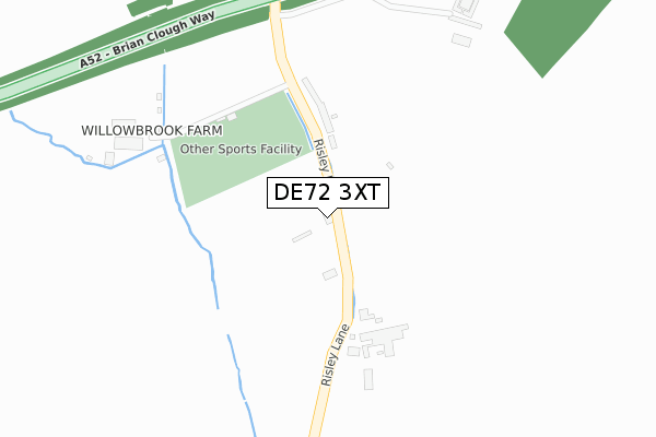
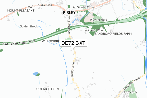
DE72 3XT is located in the Breaston electoral ward, within the local authority district of Erewash and the English Parliamentary constituency of Erewash. The Sub Integrated Care Board (ICB) Location is NHS Derby and Derbyshire ICB - 15M and the police force is Derbyshire. This postcode has been in use since October 2019.


GetTheData
Source: OS Open Zoomstack (Ordnance Survey)
Licence: Open Government Licence (requires attribution)
Attribution: Contains OS data © Crown copyright and database right 2025
Source: Open Postcode Geo
Licence: Open Government Licence (requires attribution)
Attribution: Contains OS data © Crown copyright and database right 2025; Contains Royal Mail data © Royal Mail copyright and database right 2025; Source: Office for National Statistics licensed under the Open Government Licence v.3.0
| Easting | 445909 |
| Northing | 334985 |
| Latitude | 52.910359 |
| Longitude | -1.318788 |
GetTheData
Source: Open Postcode Geo
Licence: Open Government Licence
| Country | England |
| Postcode District | DE72 |
➜ See where DE72 is on a map ➜ Where is Risley? | |
GetTheData
Source: Land Registry Price Paid Data
Licence: Open Government Licence
| Ward | Breaston |
| Constituency | Erewash |
GetTheData
Source: ONS Postcode Database
Licence: Open Government Licence
| Risley Hall (Derby Road) | Risley | 659m |
| Risley Hall (Derby Road) | Risley | 668m |
| The Risley Park (Derby Road) | Risley | 696m |
| The Risley Park (Derby Road) | Risley | 719m |
| School (Derby Road) | Risley | 743m |
| Long Eaton Station | 3.5km |
GetTheData
Source: NaPTAN
Licence: Open Government Licence
GetTheData
Source: ONS Postcode Database
Licence: Open Government Licence


➜ Get more ratings from the Food Standards Agency
GetTheData
Source: Food Standards Agency
Licence: FSA terms & conditions
| Last Collection | |||
|---|---|---|---|
| Location | Mon-Fri | Sat | Distance |
| Derby Road | 17:00 | 10:30 | 751m |
| Longmoor Lane | 17:00 | 10:30 | 1,032m |
| Second Avenue, Draycott | 17:00 | 10:30 | 1,217m |
GetTheData
Source: Dracos
Licence: Creative Commons Attribution-ShareAlike
The below table lists the International Territorial Level (ITL) codes (formerly Nomenclature of Territorial Units for Statistics (NUTS) codes) and Local Administrative Units (LAU) codes for DE72 3XT:
| ITL 1 Code | Name |
|---|---|
| TLF | East Midlands (England) |
| ITL 2 Code | Name |
| TLF1 | Derbyshire and Nottinghamshire |
| ITL 3 Code | Name |
| TLF13 | South and West Derbyshire |
| LAU 1 Code | Name |
| E07000036 | Erewash |
GetTheData
Source: ONS Postcode Directory
Licence: Open Government Licence
The below table lists the Census Output Area (OA), Lower Layer Super Output Area (LSOA), and Middle Layer Super Output Area (MSOA) for DE72 3XT:
| Code | Name | |
|---|---|---|
| OA | E00099381 | |
| LSOA | E01019642 | Erewash 013A |
| MSOA | E02004090 | Erewash 013 |
GetTheData
Source: ONS Postcode Directory
Licence: Open Government Licence
| DE72 3TU | The Crescent | 160m |
| DE72 3WL | Risley Hall | 419m |
| DE72 3WN | Risley Hall | 427m |
| DE72 3WP | Risley Hall | 443m |
| DE72 3WJ | Risley Hall | 491m |
| DE72 3SS | Derby Road | 801m |
| DE72 3TW | Meadow View Court | 969m |
| DE72 3BB | Longmoor Lane | 993m |
| DE72 3SY | Derby Road | 1034m |
| DE72 3BD | Longmoor Lane | 1050m |
GetTheData
Source: Open Postcode Geo; Land Registry Price Paid Data
Licence: Open Government Licence