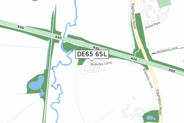
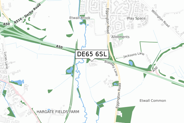
DE65 6SL is located in the Repton electoral ward, within the local authority district of South Derbyshire and the English Parliamentary constituency of South Derbyshire. The Sub Integrated Care Board (ICB) Location is NHS Derby and Derbyshire ICB - 15M and the police force is Derbyshire. This postcode has been in use since January 2020.


GetTheData
Source: OS Open Zoomstack (Ordnance Survey)
Licence: Open Government Licence (requires attribution)
Attribution: Contains OS data © Crown copyright and database right 2024
Source: Open Postcode Geo
Licence: Open Government Licence (requires attribution)
Attribution: Contains OS data © Crown copyright and database right 2024; Contains Royal Mail data © Royal Mail copyright and database right 2024; Source: Office for National Statistics licensed under the Open Government Licence v.3.0
| Easting | 431003 |
| Northing | 326983 |
| Latitude | 52.839491 |
| Longitude | -1.541186 |
GetTheData
Source: Open Postcode Geo
Licence: Open Government Licence
| Country | England |
| Postcode District | DE65 |
➜ See where DE65 is on a map ➜ Where is Repton? | |
GetTheData
Source: Land Registry Price Paid Data
Licence: Open Government Licence
| Ward | Repton |
| Constituency | South Derbyshire |
GetTheData
Source: ONS Postcode Database
Licence: Open Government Licence
2024 30 MAY £422,500 |
7, TITHE BARN GARDENS, REPTON, DERBY, DE65 6SL 2021 30 JUN £665,000 |
2, TITHE BARN GARDENS, REPTON, DERBY, DE65 6SL 2021 25 JUN £595,000 |
10, TITHE BARN GARDENS, REPTON, DERBY, DE65 6SL 2021 18 JUN £495,000 |
4, TITHE BARN GARDENS, REPTON, DERBY, DE65 6SL 2021 20 MAY £640,000 |
6, TITHE BARN GARDENS, REPTON, DERBY, DE65 6SL 2021 20 MAY £575,000 |
2021 4 MAY £375,000 |
8, TITHE BARN GARDENS, REPTON, DERBY, DE65 6SL 2021 30 APR £460,000 |
15, TITHE BARN GARDENS, REPTON, DERBY, DE65 6SL 2021 28 APR £415,000 |
12, TITHE BARN GARDENS, REPTON, DERBY, DE65 6SL 2021 23 APR £435,000 |
GetTheData
Source: HM Land Registry Price Paid Data
Licence: Contains HM Land Registry data © Crown copyright and database right 2024. This data is licensed under the Open Government Licence v3.0.
| Burdett Way (Milton Road) | Repton | 114m |
| Burdett Way (Milton Road) | Repton | 128m |
| School (Springfield Road) | Repton | 151m |
| School (Springfield Road) | Repton | 155m |
| Saxon Croft (Milton Road) | Repton | 185m |
| Willington Station | 2.2km |
GetTheData
Source: NaPTAN
Licence: Open Government Licence
GetTheData
Source: ONS Postcode Database
Licence: Open Government Licence


➜ Get more ratings from the Food Standards Agency
GetTheData
Source: Food Standards Agency
Licence: FSA terms & conditions
| Last Collection | |||
|---|---|---|---|
| Location | Mon-Fri | Sat | Distance |
| Springfield Road | 16:00 | 10:30 | 93m |
| Mount Pleasant (Repton) | 16:00 | 10:30 | 492m |
| High Street | 16:00 | 10:30 | 549m |
GetTheData
Source: Dracos
Licence: Creative Commons Attribution-ShareAlike
The below table lists the International Territorial Level (ITL) codes (formerly Nomenclature of Territorial Units for Statistics (NUTS) codes) and Local Administrative Units (LAU) codes for DE65 6SL:
| ITL 1 Code | Name |
|---|---|
| TLF | East Midlands (England) |
| ITL 2 Code | Name |
| TLF1 | Derbyshire and Nottinghamshire |
| ITL 3 Code | Name |
| TLF13 | South and West Derbyshire |
| LAU 1 Code | Name |
| E07000039 | South Derbyshire |
GetTheData
Source: ONS Postcode Directory
Licence: Open Government Licence
The below table lists the Census Output Area (OA), Lower Layer Super Output Area (LSOA), and Middle Layer Super Output Area (MSOA) for DE65 6SL:
| Code | Name | |
|---|---|---|
| OA | E00100542 | |
| LSOA | E01019869 | South Derbyshire 005C |
| MSOA | E02004122 | South Derbyshire 005 |
GetTheData
Source: ONS Postcode Directory
Licence: Open Government Licence
| DE65 6GA | Burdett Way | 109m |
| DE65 6FY | Saxon Croft | 159m |
| DE65 6GJ | Askew Grove | 211m |
| DE65 6FZ | Milton Road | 232m |
| DE65 6PZ | Maple Court | 236m |
| DE65 6GN | Springfield Road | 237m |
| DE65 6WT | Meadow Close | 243m |
| DE65 6RA | Clayfields Road | 250m |
| DE65 6GT | Hill View | 254m |
| DE65 6QZ | Clayfields Road | 268m |
GetTheData
Source: Open Postcode Geo; Land Registry Price Paid Data
Licence: Open Government Licence