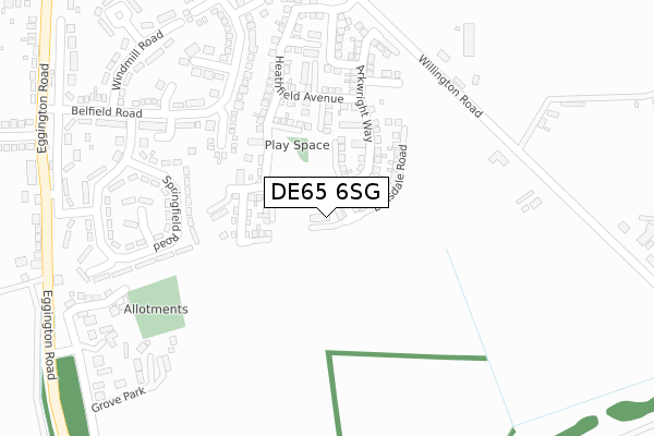
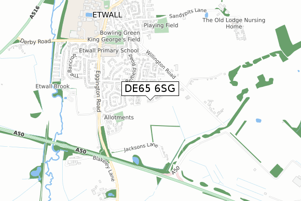
DE65 6SG is located in the Etwall electoral ward, within the local authority district of South Derbyshire and the English Parliamentary constituency of South Derbyshire. The Sub Integrated Care Board (ICB) Location is NHS Derby and Derbyshire ICB - 15M and the police force is Derbyshire. This postcode has been in use since January 2020.


GetTheData
Source: OS Open Zoomstack (Ordnance Survey)
Licence: Open Government Licence (requires attribution)
Attribution: Contains OS data © Crown copyright and database right 2024
Source: Open Postcode Geo
Licence: Open Government Licence (requires attribution)
Attribution: Contains OS data © Crown copyright and database right 2024; Contains Royal Mail data © Royal Mail copyright and database right 2024; Source: Office for National Statistics licensed under the Open Government Licence v.3.0
| Easting | 427256 |
| Northing | 331210 |
| Latitude | 52.877690 |
| Longitude | -1.596458 |
GetTheData
Source: Open Postcode Geo
Licence: Open Government Licence
| Country | England |
| Postcode District | DE65 |
➜ See where DE65 is on a map ➜ Where is Etwall? | |
GetTheData
Source: Land Registry Price Paid Data
Licence: Open Government Licence
| Ward | Etwall |
| Constituency | South Derbyshire |
GetTheData
Source: ONS Postcode Database
Licence: Open Government Licence
2, GRESLEY CLOSE, ETWALL, DERBY, DE65 6SG 2020 17 JAN £249,500 |
GetTheData
Source: HM Land Registry Price Paid Data
Licence: Contains HM Land Registry data © Crown copyright and database right 2024. This data is licensed under the Open Government Licence v3.0.
| Laburnum Way (Belfield Road) | Etwall | 277m |
| Springfield Road (Belfield Road) | Etwall | 366m |
| Pine Close (Belfield Road) | Etwall | 470m |
| The Bancroft (Egginton Road) | Etwall | 502m |
| Grove Park (Egginton Road) | Etwall | 506m |
| Willington Station | 3.5km |
GetTheData
Source: NaPTAN
Licence: Open Government Licence
GetTheData
Source: ONS Postcode Database
Licence: Open Government Licence


➜ Get more ratings from the Food Standards Agency
GetTheData
Source: Food Standards Agency
Licence: FSA terms & conditions
| Last Collection | |||
|---|---|---|---|
| Location | Mon-Fri | Sat | Distance |
| Sycamore Close | 17:00 | 10:30 | 322m |
| Eggington Road | 17:00 | 10:30 | 428m |
| Willington Lane | 16:00 | 10:30 | 451m |
GetTheData
Source: Dracos
Licence: Creative Commons Attribution-ShareAlike
The below table lists the International Territorial Level (ITL) codes (formerly Nomenclature of Territorial Units for Statistics (NUTS) codes) and Local Administrative Units (LAU) codes for DE65 6SG:
| ITL 1 Code | Name |
|---|---|
| TLF | East Midlands (England) |
| ITL 2 Code | Name |
| TLF1 | Derbyshire and Nottinghamshire |
| ITL 3 Code | Name |
| TLF13 | South and West Derbyshire |
| LAU 1 Code | Name |
| E07000039 | South Derbyshire |
GetTheData
Source: ONS Postcode Directory
Licence: Open Government Licence
The below table lists the Census Output Area (OA), Lower Layer Super Output Area (LSOA), and Middle Layer Super Output Area (MSOA) for DE65 6SG:
| Code | Name | |
|---|---|---|
| OA | E00100404 | |
| LSOA | E01019841 | South Derbyshire 002B |
| MSOA | E02004119 | South Derbyshire 002 |
GetTheData
Source: ONS Postcode Directory
Licence: Open Government Licence
| DE65 6JT | Elms Grove | 197m |
| DE65 6JZ | Springfield Road | 245m |
| DE65 6JN | Belfield Road | 266m |
| DE65 6JU | Laburnum Way | 298m |
| DE65 6LB | Melville Court | 301m |
| DE65 6NR | Willington Road | 306m |
| DE65 6LA | Springfield Road | 332m |
| DE65 6NS | Grove Park | 346m |
| DE65 6JS | Sycamore Close | 357m |
| DE65 6JX | Windmill Road | 367m |
GetTheData
Source: Open Postcode Geo; Land Registry Price Paid Data
Licence: Open Government Licence