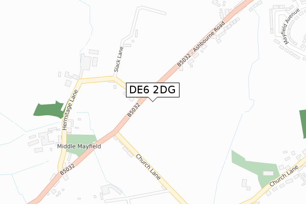
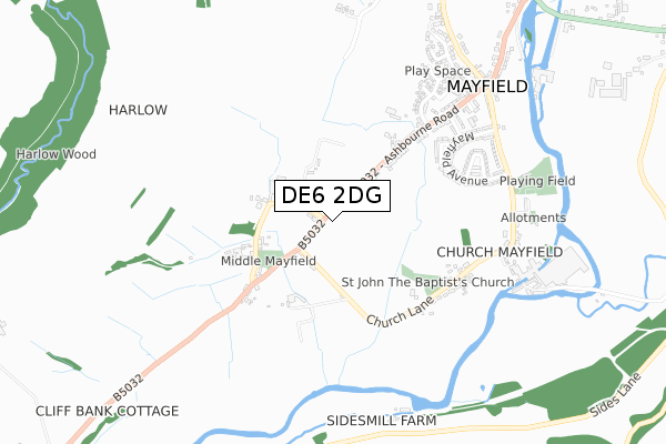
DE6 2DG is located in the Ashbourne South electoral ward, within the local authority district of Derbyshire Dales and the English Parliamentary constituency of Derbyshire Dales. The Sub Integrated Care Board (ICB) Location is NHS Derby and Derbyshire ICB - 15M and the police force is Derbyshire. This postcode has been in use since December 2019.


GetTheData
Source: OS Open Zoomstack (Ordnance Survey)
Licence: Open Government Licence (requires attribution)
Attribution: Contains OS data © Crown copyright and database right 2025
Source: Open Postcode Geo
Licence: Open Government Licence (requires attribution)
Attribution: Contains OS data © Crown copyright and database right 2025; Contains Royal Mail data © Royal Mail copyright and database right 2025; Source: Office for National Statistics licensed under the Open Government Licence v.3.0
| Easting | 418487 |
| Northing | 342309 |
| Latitude | 52.977832 |
| Longitude | -1.726121 |
GetTheData
Source: Open Postcode Geo
Licence: Open Government Licence
| Country | England |
| Postcode District | DE6 |
➜ See where DE6 is on a map ➜ Where is Wyaston? | |
GetTheData
Source: Land Registry Price Paid Data
Licence: Open Government Licence
| Ward | Ashbourne South |
| Constituency | Derbyshire Dales |
GetTheData
Source: ONS Postcode Database
Licence: Open Government Licence
| Post Office (Quilow Lane) | Wyaston | 178m |
| Post Office (Quilow Lane) | Wyaston | 179m |
| Church (Edlaston Lane) | Edlaston | 522m |
| Church (Edlaston Lane) | Edlaston | 530m |
| Whitehall Farm (Yeaveley Lane) | Hales Green | 1,022m |
GetTheData
Source: NaPTAN
Licence: Open Government Licence
GetTheData
Source: ONS Postcode Database
Licence: Open Government Licence

➜ Get more ratings from the Food Standards Agency
GetTheData
Source: Food Standards Agency
Licence: FSA terms & conditions
| Last Collection | |||
|---|---|---|---|
| Location | Mon-Fri | Sat | Distance |
| Wyaston So | 16:15 | 09:00 | 142m |
| Edlaston | 16:15 | 09:00 | 557m |
| Yeavley | 16:30 | 11:00 | 2,032m |
GetTheData
Source: Dracos
Licence: Creative Commons Attribution-ShareAlike
The below table lists the International Territorial Level (ITL) codes (formerly Nomenclature of Territorial Units for Statistics (NUTS) codes) and Local Administrative Units (LAU) codes for DE6 2DG:
| ITL 1 Code | Name |
|---|---|
| TLF | East Midlands (England) |
| ITL 2 Code | Name |
| TLF1 | Derbyshire and Nottinghamshire |
| ITL 3 Code | Name |
| TLF13 | South and West Derbyshire |
| LAU 1 Code | Name |
| E07000035 | Derbyshire Dales |
GetTheData
Source: ONS Postcode Directory
Licence: Open Government Licence
The below table lists the Census Output Area (OA), Lower Layer Super Output Area (LSOA), and Middle Layer Super Output Area (MSOA) for DE6 2DG:
| Code | Name | |
|---|---|---|
| OA | E00099179 | |
| LSOA | E01019607 | Derbyshire Dales 010B |
| MSOA | E02004077 | Derbyshire Dales 010 |
GetTheData
Source: ONS Postcode Directory
Licence: Open Government Licence
| DE6 2DR | 124m | |
| DE6 2DQ | 842m | |
| DE6 2DS | Hales Green | 1095m |
| DE6 3AP | 1821m | |
| DE6 2DX | Priory Close | 1929m |
| DE6 2DT | Rodsley Lane | 1989m |
| DE6 2GH | Long View Lane | 2022m |
| DE6 2DY | Gravelly Bank Mews | 2041m |
| DE6 2GN | 2118m | |
| DE6 1LW | 2138m |
GetTheData
Source: Open Postcode Geo; Land Registry Price Paid Data
Licence: Open Government Licence