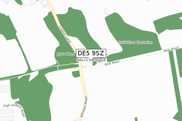
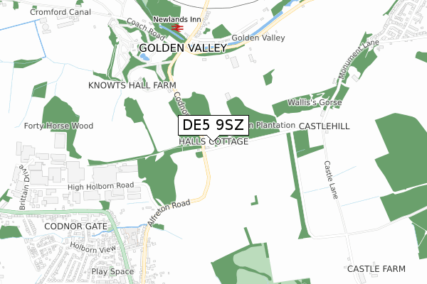
DE5 9SZ is located in the Ironville & Riddings electoral ward, within the local authority district of Amber Valley and the English Parliamentary constituency of Amber Valley. The Sub Integrated Care Board (ICB) Location is NHS Derby and Derbyshire ICB - 15M and the police force is Derbyshire. This postcode has been in use since July 2018.


GetTheData
Source: OS Open Zoomstack (Ordnance Survey)
Licence: Open Government Licence (requires attribution)
Attribution: Contains OS data © Crown copyright and database right 2024
Source: Open Postcode Geo
Licence: Open Government Licence (requires attribution)
Attribution: Contains OS data © Crown copyright and database right 2024; Contains Royal Mail data © Royal Mail copyright and database right 2024; Source: Office for National Statistics licensed under the Open Government Licence v.3.0
| Easting | 442437 |
| Northing | 350625 |
| Latitude | 53.051226 |
| Longitude | -1.368367 |
GetTheData
Source: Open Postcode Geo
Licence: Open Government Licence
| Country | England |
| Postcode District | DE5 |
➜ See where DE5 is on a map | |
GetTheData
Source: Land Registry Price Paid Data
Licence: Open Government Licence
| Ward | Ironville & Riddings |
| Constituency | Amber Valley |
GetTheData
Source: ONS Postcode Database
Licence: Open Government Licence
| Codnor Lane | Codnor | 63m |
| Codnor Lane | Codnor | 72m |
| High Holborn Road (Alfreton Road) | Codnor | 570m |
| High Holborn Road (Alfreton Road) | Codnor | 603m |
| Newlands Inn (Newlands Road) | Golden Valley | 664m |
| Langley Mill Station | 4.4km |
GetTheData
Source: NaPTAN
Licence: Open Government Licence
GetTheData
Source: ONS Postcode Database
Licence: Open Government Licence


➜ Get more ratings from the Food Standards Agency
GetTheData
Source: Food Standards Agency
Licence: FSA terms & conditions
| Last Collection | |||
|---|---|---|---|
| Location | Mon-Fri | Sat | Distance |
| Golden Valley | 17:30 | 07:00 | 644m |
| Codnor Gate Business Box | 18:30 | 722m | |
| Codnor | 17:30 | 07:30 | 771m |
GetTheData
Source: Dracos
Licence: Creative Commons Attribution-ShareAlike
The below table lists the International Territorial Level (ITL) codes (formerly Nomenclature of Territorial Units for Statistics (NUTS) codes) and Local Administrative Units (LAU) codes for DE5 9SZ:
| ITL 1 Code | Name |
|---|---|
| TLF | East Midlands (England) |
| ITL 2 Code | Name |
| TLF1 | Derbyshire and Nottinghamshire |
| ITL 3 Code | Name |
| TLF13 | South and West Derbyshire |
| LAU 1 Code | Name |
| E07000032 | Amber Valley |
GetTheData
Source: ONS Postcode Directory
Licence: Open Government Licence
The below table lists the Census Output Area (OA), Lower Layer Super Output Area (LSOA), and Middle Layer Super Output Area (MSOA) for DE5 9SZ:
| Code | Name | |
|---|---|---|
| OA | E00098334 | |
| LSOA | E01019442 | Amber Valley 005B |
| MSOA | E02004033 | Amber Valley 005 |
GetTheData
Source: ONS Postcode Directory
Licence: Open Government Licence
| DE5 9QX | Long Lane | 47m |
| DE55 4ES | Golden Valley | 585m |
| DE5 9QZ | Alfreton Road | 719m |
| DE5 3NW | High Holborn Road | 772m |
| DE5 9QW | Codnor Gate | 804m |
| DE5 9QT | Glass House Hill | 843m |
| DE5 9QS | Glass House Hill | 847m |
| DE5 9QU | Stirland Street | 848m |
| DE5 9SJ | Redmoor Close | 854m |
| DE5 9QY | Alfreton Road | 858m |
GetTheData
Source: Open Postcode Geo; Land Registry Price Paid Data
Licence: Open Government Licence