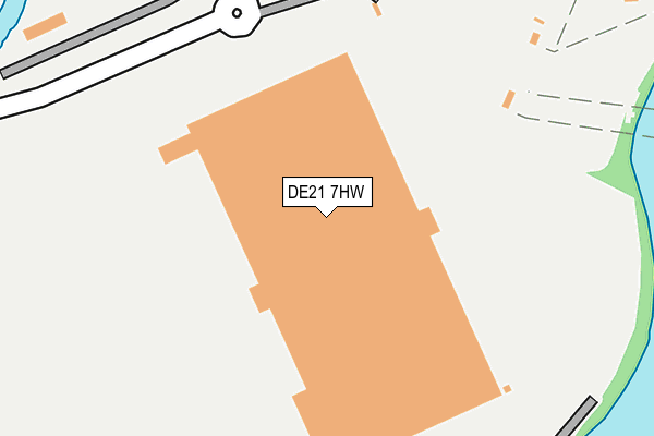
DE21 7HW is located in the Spondon electoral ward, within the unitary authority of Derby and the English Parliamentary constituency of Mid Derbyshire. The Sub Integrated Care Board (ICB) Location is NHS Derby and Derbyshire ICB - 15M and the police force is Derbyshire. This postcode has been in use since April 2014.


GetTheData
Source: OS OpenMap – Local (Ordnance Survey)
Source: OS VectorMap District (Ordnance Survey)
Licence: Open Government Licence (requires attribution)
| Easting | 439940 |
| Northing | 334086 |
| Latitude | 52.902753 |
| Longitude | -1.407650 |
GetTheData
Source: Open Postcode Geo
Licence: Open Government Licence
| Country | England |
| Postcode District | DE21 |
➜ See where DE21 is on a map ➜ Where is Derby? | |
GetTheData
Source: Land Registry Price Paid Data
Licence: Open Government Licence
Elevation or altitude of DE21 7HW as distance above sea level:
| Metres | Feet | |
|---|---|---|
| Elevation | 40m | 131ft |
Elevation is measured from the approximate centre of the postcode, to the nearest point on an OS contour line from OS Terrain 50, which has contour spacing of ten vertical metres.
➜ How high above sea level am I? Find the elevation of your current position using your device's GPS.
GetTheData
Source: Open Postcode Elevation
Licence: Open Government Licence
| Ward | Spondon |
| Constituency | Mid Derbyshire |
GetTheData
Source: ONS Postcode Database
Licence: Open Government Licence
| Derby Commercial Park East (Fernhook Avenue) | Alvaston | 145m |
| Derby Commercial Park (Fernhook Avenue) | Alvaston | 613m |
| Derby Commercial Park (Fernhook Avenue) | Alvaston | 758m |
| Anglers Arms (Nottingham Road) | Spondon | 1,108m |
| St John Fisher Primary School (Alvaston Street) | Alvaston | 1,109m |
| Spondon Station | 1.1km |
| Derby Station | 4km |
| Peartree Station | 4.5km |
GetTheData
Source: NaPTAN
Licence: Open Government Licence
GetTheData
Source: ONS Postcode Database
Licence: Open Government Licence


➜ Get more ratings from the Food Standards Agency
GetTheData
Source: Food Standards Agency
Licence: FSA terms & conditions
| Last Collection | |||
|---|---|---|---|
| Location | Mon-Fri | Sat | Distance |
| Shardlow Road | 17:30 | 11:00 | 1,107m |
| Silverhill Road | 17:30 | 11:30 | 1,133m |
| Lindon Drive | 17:30 | 11:30 | 1,166m |
GetTheData
Source: Dracos
Licence: Creative Commons Attribution-ShareAlike
| Risk of DE21 7HW flooding from rivers and sea | Low |
| ➜ DE21 7HW flood map | |
GetTheData
Source: Open Flood Risk by Postcode
Licence: Open Government Licence
The below table lists the International Territorial Level (ITL) codes (formerly Nomenclature of Territorial Units for Statistics (NUTS) codes) and Local Administrative Units (LAU) codes for DE21 7HW:
| ITL 1 Code | Name |
|---|---|
| TLF | East Midlands (England) |
| ITL 2 Code | Name |
| TLF1 | Derbyshire and Nottinghamshire |
| ITL 3 Code | Name |
| TLF11 | Derby |
| LAU 1 Code | Name |
| E06000015 | Derby |
GetTheData
Source: ONS Postcode Directory
Licence: Open Government Licence
The below table lists the Census Output Area (OA), Lower Layer Super Output Area (LSOA), and Middle Layer Super Output Area (MSOA) for DE21 7HW:
| Code | Name | |
|---|---|---|
| OA | E00171226 | |
| LSOA | E01013595 | Derby 014B |
| MSOA | E02002809 | Derby 014 |
GetTheData
Source: ONS Postcode Directory
Licence: Open Government Licence
| DE24 0YZ | Halstock Drive | 825m |
| DE24 0QZ | Dawlish Court | 855m |
| DE24 0YA | Glastonbury Road | 886m |
| DE24 0QU | Babbacombe Close | 894m |
| DE24 0QY | Sidmouth Close | 900m |
| DE24 0XZ | Halstock Drive | 905m |
| DE21 7BS | Holme Lane | 950m |
| DE21 7NT | Anglers Lane | 959m |
| DE24 0YB | Yeovil Close | 965m |
| DE24 0YD | Taunton Close | 970m |
GetTheData
Source: Open Postcode Geo; Land Registry Price Paid Data
Licence: Open Government Licence