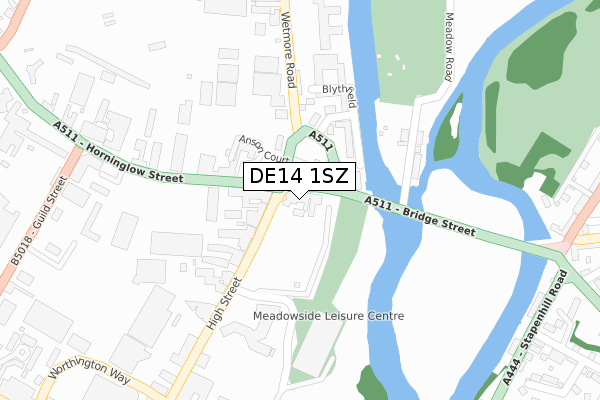
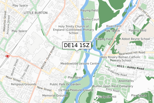
DE14 1SZ is located in the Burton & Eton electoral ward, within the local authority district of East Staffordshire and the English Parliamentary constituency of Burton. The Sub Integrated Care Board (ICB) Location is NHS Staffordshire and Stoke-on-Trent ICB - 05D and the police force is Staffordshire. This postcode has been in use since October 2017.


GetTheData
Source: OS Open Zoomstack (Ordnance Survey)
Licence: Open Government Licence (requires attribution)
Attribution: Contains OS data © Crown copyright and database right 2025
Source: Open Postcode Geo
Licence: Open Government Licence (requires attribution)
Attribution: Contains OS data © Crown copyright and database right 2025; Contains Royal Mail data © Royal Mail copyright and database right 2025; Source: Office for National Statistics licensed under the Open Government Licence v.3.0
| Easting | 424351 |
| Northing | 323279 |
| Latitude | 52.806535 |
| Longitude | -1.640209 |
GetTheData
Source: Open Postcode Geo
Licence: Open Government Licence
| Country | England |
| Postcode District | DE14 |
➜ See where DE14 is on a map ➜ Where is Burton upon Trent? | |
GetTheData
Source: Land Registry Price Paid Data
Licence: Open Government Licence
| Ward | Burton & Eton |
| Constituency | Burton |
GetTheData
Source: ONS Postcode Database
Licence: Open Government Licence
| Railway Station (Borough Road) | Burton Upon Trent | 156m |
| Railway Station (Borough Rd) | Burton Upon Trent | 157m |
| Devonshire Arms Ph (Station St) | Burton Upon Trent | 193m |
| Devonshire Arms Ph (Station St) | Burton Upon Trent | 200m |
| Lidl Store (Derby St) | Shobnall | 219m |
| Burton-on-Trent Station | 0.2km |
GetTheData
Source: NaPTAN
Licence: Open Government Licence
GetTheData
Source: ONS Postcode Database
Licence: Open Government Licence

➜ Get more ratings from the Food Standards Agency
GetTheData
Source: Food Standards Agency
Licence: FSA terms & conditions
| Last Collection | |||
|---|---|---|---|
| Location | Mon-Fri | Sat | Distance |
| Station Street | 17:30 | 12:00 | 55m |
| Wellington Street Post Office | 17:30 | 11:45 | 343m |
| Waterloo Street | 17:30 | 11:30 | 376m |
GetTheData
Source: Dracos
Licence: Creative Commons Attribution-ShareAlike
| Risk of DE14 1SZ flooding from rivers and sea | Low |
| ➜ DE14 1SZ flood map | |
GetTheData
Source: Open Flood Risk by Postcode
Licence: Open Government Licence
The below table lists the International Territorial Level (ITL) codes (formerly Nomenclature of Territorial Units for Statistics (NUTS) codes) and Local Administrative Units (LAU) codes for DE14 1SZ:
| ITL 1 Code | Name |
|---|---|
| TLG | West Midlands (England) |
| ITL 2 Code | Name |
| TLG2 | Shropshire and Staffordshire |
| ITL 3 Code | Name |
| TLG24 | Staffordshire CC |
| LAU 1 Code | Name |
| E07000193 | East Staffordshire |
GetTheData
Source: ONS Postcode Directory
Licence: Open Government Licence
The below table lists the Census Output Area (OA), Lower Layer Super Output Area (LSOA), and Middle Layer Super Output Area (MSOA) for DE14 1SZ:
| Code | Name | |
|---|---|---|
| OA | E00168356 | |
| LSOA | E01032896 | East Staffordshire 011F |
| MSOA | E02006141 | East Staffordshire 011 |
GetTheData
Source: ONS Postcode Directory
Licence: Open Government Licence
| DE14 1BX | Station Street | 98m |
| DE14 2NS | Millers Lane | 128m |
| DE14 1DR | Mosley Street | 144m |
| DE14 1BD | Grants Yard | 162m |
| DE14 1BY | Grants Yard | 177m |
| DE14 1BT | Station Street | 199m |
| DE14 1BW | Grants Yard | 221m |
| DE14 2LA | Derby Street | 241m |
| DE14 1ED | Milton Street | 241m |
| DE14 2LJ | Derby Street | 249m |
GetTheData
Source: Open Postcode Geo; Land Registry Price Paid Data
Licence: Open Government Licence