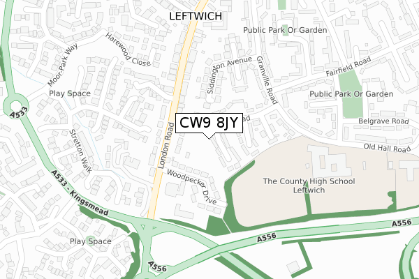
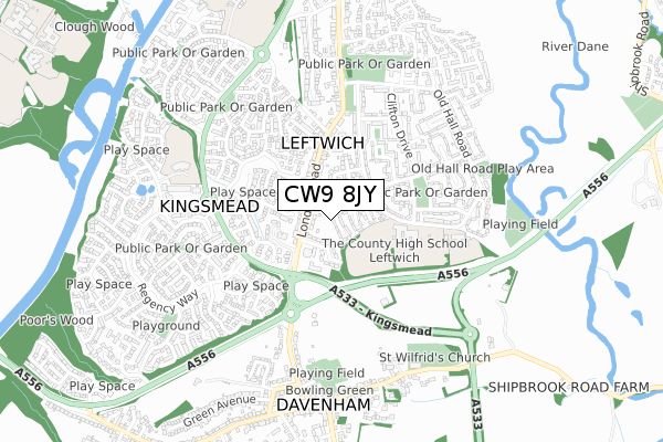
CW9 8JY is located in the Northwich Leftwich electoral ward, within the unitary authority of Cheshire West and Chester and the English Parliamentary constituency of Weaver Vale. The Sub Integrated Care Board (ICB) Location is NHS Cheshire and Merseyside ICB - 27D and the police force is Cheshire. This postcode has been in use since December 2019.


GetTheData
Source: OS Open Zoomstack (Ordnance Survey)
Licence: Open Government Licence (requires attribution)
Attribution: Contains OS data © Crown copyright and database right 2024
Source: Open Postcode Geo
Licence: Open Government Licence (requires attribution)
Attribution: Contains OS data © Crown copyright and database right 2024; Contains Royal Mail data © Royal Mail copyright and database right 2024; Source: Office for National Statistics licensed under the Open Government Licence v.3.0
| Easting | 366594 |
| Northing | 372671 |
| Latitude | 53.250010 |
| Longitude | -2.502118 |
GetTheData
Source: Open Postcode Geo
Licence: Open Government Licence
| Country | England |
| Postcode District | CW9 |
➜ See where CW9 is on a map ➜ Where is Leftwich? | |
GetTheData
Source: Land Registry Price Paid Data
Licence: Open Government Licence
| Ward | Northwich Leftwich |
| Constituency | Weaver Vale |
GetTheData
Source: ONS Postcode Database
Licence: Open Government Licence
| Meadow Grove (Old Hall Road) | Leftwich | 467m |
| Kingsley Drive (London Road) | Leftwich | 565m |
| Granville Road (Old Hall Road) | Leftwich | 575m |
| Kingsley Drive (London Road) | Leftwich | 581m |
| Lime Avenue (London Road) | Leftwich | 617m |
| Northwich Station | 1.3km |
| Greenbank Station | 2.2km |
| Lostock Gralam Station | 3.2km |
GetTheData
Source: NaPTAN
Licence: Open Government Licence
GetTheData
Source: ONS Postcode Database
Licence: Open Government Licence


➜ Get more ratings from the Food Standards Agency
GetTheData
Source: Food Standards Agency
Licence: FSA terms & conditions
| Last Collection | |||
|---|---|---|---|
| Location | Mon-Fri | Sat | Distance |
| Hartford Road | 17:30 | 08:00 | 747m |
| London Road | 17:30 | 11:00 | 777m |
| Rudheath So | 17:00 | 11:30 | 1,281m |
GetTheData
Source: Dracos
Licence: Creative Commons Attribution-ShareAlike
The below table lists the International Territorial Level (ITL) codes (formerly Nomenclature of Territorial Units for Statistics (NUTS) codes) and Local Administrative Units (LAU) codes for CW9 8JY:
| ITL 1 Code | Name |
|---|---|
| TLD | North West (England) |
| ITL 2 Code | Name |
| TLD6 | Cheshire |
| ITL 3 Code | Name |
| TLD63 | Cheshire West and Chester |
| LAU 1 Code | Name |
| E06000050 | Cheshire West and Chester |
GetTheData
Source: ONS Postcode Directory
Licence: Open Government Licence
The below table lists the Census Output Area (OA), Lower Layer Super Output Area (LSOA), and Middle Layer Super Output Area (MSOA) for CW9 8JY:
| Code | Name | |
|---|---|---|
| OA | E00094396 | |
| LSOA | E01018703 | Cheshire West and Chester 023F |
| MSOA | E02003883 | Cheshire West and Chester 023 |
GetTheData
Source: ONS Postcode Directory
Licence: Open Government Licence
| CW9 8SE | Audlem Drive | 207m |
| CW9 8SB | Bollington Avenue | 257m |
| CW9 8SA | Langley Road | 274m |
| CW9 8SF | Bunbury Close | 303m |
| CW9 8BD | Withington Close | 309m |
| CW9 8JZ | Withington Close | 328m |
| CW9 8AW | Langley Road | 329m |
| CW9 8SG | Betley Close | 330m |
| CW9 8AZ | Kingsley Drive | 400m |
| CW9 8SH | Brockhurst Mews | 408m |
GetTheData
Source: Open Postcode Geo; Land Registry Price Paid Data
Licence: Open Government Licence