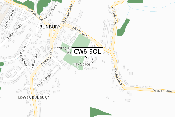
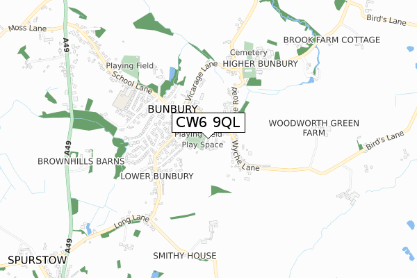
CW6 9QL is located in the Bunbury electoral ward, within the unitary authority of Cheshire East and the English Parliamentary constituency of Eddisbury. The Sub Integrated Care Board (ICB) Location is NHS Cheshire and Merseyside ICB - 27D and the police force is Cheshire. This postcode has been in use since December 2018.


GetTheData
Source: OS Open Zoomstack (Ordnance Survey)
Licence: Open Government Licence (requires attribution)
Attribution: Contains OS data © Crown copyright and database right 2025
Source: Open Postcode Geo
Licence: Open Government Licence (requires attribution)
Attribution: Contains OS data © Crown copyright and database right 2025; Contains Royal Mail data © Royal Mail copyright and database right 2025; Source: Office for National Statistics licensed under the Open Government Licence v.3.0
| Easting | 356673 |
| Northing | 357681 |
| Latitude | 53.114556 |
| Longitude | -2.648761 |
GetTheData
Source: Open Postcode Geo
Licence: Open Government Licence
| Country | England |
| Postcode District | CW6 |
➜ See where CW6 is on a map | |
GetTheData
Source: Land Registry Price Paid Data
Licence: Open Government Licence
| Ward | Bunbury |
| Constituency | Eddisbury |
GetTheData
Source: ONS Postcode Database
Licence: Open Government Licence
| Post Office (Bunbury Lane) | Bunbury | 220m |
| Post Office (Bunbury Lane) | Bunbury | 236m |
| Willow Drive (School Lane) | Bunbury | 320m |
| Queen Street (Bunbury Lane) | Bunbury | 365m |
| Queen Street (Bunbury Lane) | Bunbury | 378m |
GetTheData
Source: NaPTAN
Licence: Open Government Licence
| Percentage of properties with Next Generation Access | 100.0% |
| Percentage of properties with Superfast Broadband | 100.0% |
| Percentage of properties with Ultrafast Broadband | 0.0% |
| Percentage of properties with Full Fibre Broadband | 0.0% |
Superfast Broadband is between 30Mbps and 300Mbps
Ultrafast Broadband is > 300Mbps
| Median download speed | 24.4Mbps |
| Average download speed | 29.6Mbps |
| Maximum download speed | 78.10Mbps |
| Median upload speed | 1.2Mbps |
| Average upload speed | 3.9Mbps |
| Maximum upload speed | 19.53Mbps |
| Percentage of properties unable to receive 2Mbps | 0.0% |
| Percentage of properties unable to receive 5Mbps | 0.0% |
| Percentage of properties unable to receive 10Mbps | 0.0% |
| Percentage of properties unable to receive 30Mbps | 0.0% |
GetTheData
Source: Ofcom
Licence: Ofcom Terms of Use (requires attribution)
GetTheData
Source: ONS Postcode Database
Licence: Open Government Licence


➜ Get more ratings from the Food Standards Agency
GetTheData
Source: Food Standards Agency
Licence: FSA terms & conditions
| Last Collection | |||
|---|---|---|---|
| Location | Mon-Fri | Sat | Distance |
| Bunbury So | 16:45 | 10:30 | 222m |
| Darkie Meadow | 16:15 | 08:30 | 316m |
| Wyche Lane | 16:00 | 09:00 | 347m |
GetTheData
Source: Dracos
Licence: Creative Commons Attribution-ShareAlike
The below table lists the International Territorial Level (ITL) codes (formerly Nomenclature of Territorial Units for Statistics (NUTS) codes) and Local Administrative Units (LAU) codes for CW6 9QL:
| ITL 1 Code | Name |
|---|---|
| TLD | North West (England) |
| ITL 2 Code | Name |
| TLD6 | Cheshire |
| ITL 3 Code | Name |
| TLD62 | Cheshire East |
| LAU 1 Code | Name |
| E06000049 | Cheshire East |
GetTheData
Source: ONS Postcode Directory
Licence: Open Government Licence
The below table lists the Census Output Area (OA), Lower Layer Super Output Area (LSOA), and Middle Layer Super Output Area (MSOA) for CW6 9QL:
| Code | Name | |
|---|---|---|
| OA | E00093141 | |
| LSOA | E01018458 | Cheshire East 051C |
| MSOA | E02003840 | Cheshire East 051 |
GetTheData
Source: ONS Postcode Directory
Licence: Open Government Licence
| CW6 9PZ | Orchard Close | 143m |
| CW6 9PD | Wyche Lane | 183m |
| CW6 9QP | Hurst Close | 202m |
| CW6 9PR | Wyche Road | 202m |
| CW6 9QR | Bunbury Lane | 214m |
| CW6 9PS | Wyche Lane | 222m |
| CW6 9PB | Vicarage Lane | 223m |
| CW6 9QS | Bunbury Lane | 238m |
| CW6 9QY | Queen Street | 243m |
| CW6 9QJ | Hill Close | 252m |
GetTheData
Source: Open Postcode Geo; Land Registry Price Paid Data
Licence: Open Government Licence