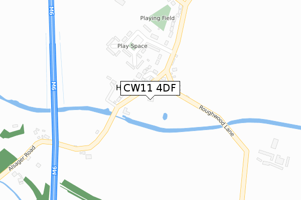
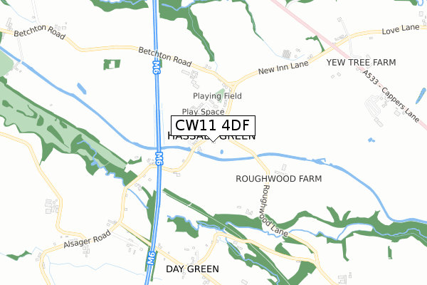
CW11 4DF is located in the Brereton Rural electoral ward, within the unitary authority of Cheshire East and the English Parliamentary constituency of Congleton. The Sub Integrated Care Board (ICB) Location is NHS Cheshire and Merseyside ICB - 27D and the police force is Cheshire. This postcode has been in use since November 2019.


GetTheData
Source: OS Open Zoomstack (Ordnance Survey)
Licence: Open Government Licence (requires attribution)
Attribution: Contains OS data © Crown copyright and database right 2025
Source: Open Postcode Geo
Licence: Open Government Licence (requires attribution)
Attribution: Contains OS data © Crown copyright and database right 2025; Contains Royal Mail data © Royal Mail copyright and database right 2025; Source: Office for National Statistics licensed under the Open Government Licence v.3.0
| Easting | 378010 |
| Northing | 358418 |
| Latitude | 53.122492 |
| Longitude | -2.330044 |
GetTheData
Source: Open Postcode Geo
Licence: Open Government Licence
| Country | England |
| Postcode District | CW11 |
➜ See where CW11 is on a map ➜ Where is Hassall Green? | |
GetTheData
Source: Land Registry Price Paid Data
Licence: Open Government Licence
| Ward | Brereton Rural |
| Constituency | Congleton |
GetTheData
Source: ONS Postcode Database
Licence: Open Government Licence
| Romping Donkey Ph (Alsager Road) | Hassall Green | 61m |
| Romping Donkey Ph (Alsager Road) | Hassall Green | 74m |
| Charles Square (Hassall Green) | Hassall Green | 130m |
| Charles Square (Hassall Green) | Hassall Green | 152m |
| St Philip's Church (Alsager Road) | Hassall Green | 264m |
| Alsager Station | 3.9km |
| Sandbach Station | 5.2km |
GetTheData
Source: NaPTAN
Licence: Open Government Licence
GetTheData
Source: ONS Postcode Database
Licence: Open Government Licence


➜ Get more ratings from the Food Standards Agency
GetTheData
Source: Food Standards Agency
Licence: FSA terms & conditions
| Last Collection | |||
|---|---|---|---|
| Location | Mon-Fri | Sat | Distance |
| M6 Services | 16:30 | 12:15 | 1,955m |
| Smallwood Old P.o. | 17:30 | 08:00 | 2,455m |
| The Pet Shop | 17:15 | 10:30 | 2,921m |
GetTheData
Source: Dracos
Licence: Creative Commons Attribution-ShareAlike
The below table lists the International Territorial Level (ITL) codes (formerly Nomenclature of Territorial Units for Statistics (NUTS) codes) and Local Administrative Units (LAU) codes for CW11 4DF:
| ITL 1 Code | Name |
|---|---|
| TLD | North West (England) |
| ITL 2 Code | Name |
| TLD6 | Cheshire |
| ITL 3 Code | Name |
| TLD62 | Cheshire East |
| LAU 1 Code | Name |
| E06000049 | Cheshire East |
GetTheData
Source: ONS Postcode Directory
Licence: Open Government Licence
The below table lists the Census Output Area (OA), Lower Layer Super Output Area (LSOA), and Middle Layer Super Output Area (MSOA) for CW11 4DF:
| Code | Name | |
|---|---|---|
| OA | E00092934 | |
| LSOA | E01018418 | Cheshire East 033C |
| MSOA | E02003822 | Cheshire East 033 |
GetTheData
Source: ONS Postcode Directory
Licence: Open Government Licence
| CW11 4SH | The Paddock | 110m |
| CW11 4YA | 113m | |
| CW11 4XZ | Charles Square | 188m |
| CW11 4XY | Smithy Grove | 229m |
| CW11 4YB | 233m | |
| CW11 4YE | Betchton Road | 442m |
| CW11 4XX | Roughwood | 450m |
| CW11 4XT | 625m | |
| CW11 4XU | Day Green | 736m |
| CW11 2TG | Newcastle Road | 965m |
GetTheData
Source: Open Postcode Geo; Land Registry Price Paid Data
Licence: Open Government Licence