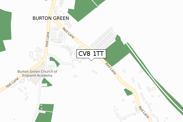
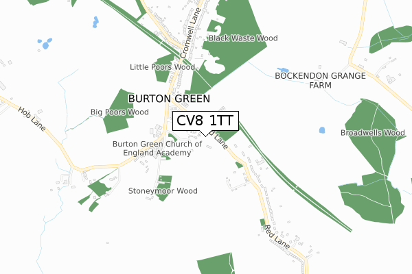
CV8 1TT is located in the Kenilworth Abbey & Arden electoral ward, within the local authority district of Warwick and the English Parliamentary constituency of Kenilworth and Southam. The Sub Integrated Care Board (ICB) Location is NHS Coventry and Warwickshire ICB - B2M3M and the police force is Warwickshire. This postcode has been in use since January 2020.


GetTheData
Source: OS Open Zoomstack (Ordnance Survey)
Licence: Open Government Licence (requires attribution)
Attribution: Contains OS data © Crown copyright and database right 2025
Source: Open Postcode Geo
Licence: Open Government Licence (requires attribution)
Attribution: Contains OS data © Crown copyright and database right 2025; Contains Royal Mail data © Royal Mail copyright and database right 2025; Source: Office for National Statistics licensed under the Open Government Licence v.3.0
| Easting | 427046 |
| Northing | 275405 |
| Latitude | 52.376038 |
| Longitude | -1.604121 |
GetTheData
Source: Open Postcode Geo
Licence: Open Government Licence
| Country | England |
| Postcode District | CV8 |
➜ See where CV8 is on a map ➜ Where is Burton Green? | |
GetTheData
Source: Land Registry Price Paid Data
Licence: Open Government Licence
| Ward | Kenilworth Abbey & Arden |
| Constituency | Kenilworth And Southam |
GetTheData
Source: ONS Postcode Database
Licence: Open Government Licence
1, BEECH COURT, BURTON GREEN, KENILWORTH, CV8 1TT 2020 30 OCT £395,000 |
GetTheData
Source: HM Land Registry Price Paid Data
Licence: Contains HM Land Registry data © Crown copyright and database right 2025. This data is licensed under the Open Government Licence v3.0.
| Red Lane (Cromwell Lane) | Burton Green | 346m |
| Red Lane (Cromwell Lane) | Burton Green | 356m |
| Red Lane (Hob Lane) | Carol Green | 369m |
| Red Lane (Hob Lane) | Carol Green | 370m |
| Cromwell Lane | Burton Green | 563m |
| Tile Hill Station | 2.2km |
| Berkswell Station | 3.4km |
| Canley Station | 4.6km |
GetTheData
Source: NaPTAN
Licence: Open Government Licence
GetTheData
Source: ONS Postcode Database
Licence: Open Government Licence


➜ Get more ratings from the Food Standards Agency
GetTheData
Source: Food Standards Agency
Licence: FSA terms & conditions
| Last Collection | |||
|---|---|---|---|
| Location | Mon-Fri | Sat | Distance |
| Cromwell Lane | 16:30 | 09:00 | 616m |
| Burton Green Post Office | 16:30 | 09:30 | 1,102m |
| Cromwell Lane | 17:00 | 11:30 | 1,556m |
GetTheData
Source: Dracos
Licence: Creative Commons Attribution-ShareAlike
The below table lists the International Territorial Level (ITL) codes (formerly Nomenclature of Territorial Units for Statistics (NUTS) codes) and Local Administrative Units (LAU) codes for CV8 1TT:
| ITL 1 Code | Name |
|---|---|
| TLG | West Midlands (England) |
| ITL 2 Code | Name |
| TLG1 | Herefordshire, Worcestershire and Warwickshire |
| ITL 3 Code | Name |
| TLG13 | Warwickshire CC |
| LAU 1 Code | Name |
| E07000222 | Warwick |
GetTheData
Source: ONS Postcode Directory
Licence: Open Government Licence
The below table lists the Census Output Area (OA), Lower Layer Super Output Area (LSOA), and Middle Layer Super Output Area (MSOA) for CV8 1TT:
| Code | Name | |
|---|---|---|
| OA | E00159364 | |
| LSOA | E01031254 | Warwick 001A |
| MSOA | E02006519 | Warwick 001 |
GetTheData
Source: ONS Postcode Directory
Licence: Open Government Licence
| CV8 1PE | Red Lane | 31m |
| CV8 1PF | Red Lane | 297m |
| CV8 1PD | Red Lane | 334m |
| CV8 1PG | Cromwell Lane | 422m |
| CV8 1QB | Hob Lane | 450m |
| CV8 1PB | Red Lane | 557m |
| CV8 1PH | Hodgetts Lane | 690m |
| CV8 1PJ | Hodgetts Lane | 734m |
| CV8 1PN | Cromwell Lane | 838m |
| CV8 1PL | Cromwell Lane | 855m |
GetTheData
Source: Open Postcode Geo; Land Registry Price Paid Data
Licence: Open Government Licence