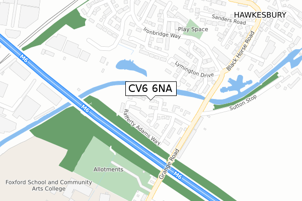
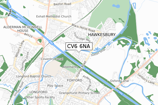
CV6 6NA is located in the Longford electoral ward, within the metropolitan district of Coventry and the English Parliamentary constituency of Coventry North East. The Sub Integrated Care Board (ICB) Location is NHS Coventry and Warwickshire ICB - B2M3M and the police force is West Midlands. This postcode has been in use since January 2019.


GetTheData
Source: OS Open Zoomstack (Ordnance Survey)
Licence: Open Government Licence (requires attribution)
Attribution: Contains OS data © Crown copyright and database right 2025
Source: Open Postcode Geo
Licence: Open Government Licence (requires attribution)
Attribution: Contains OS data © Crown copyright and database right 2025; Contains Royal Mail data © Royal Mail copyright and database right 2025; Source: Office for National Statistics licensed under the Open Government Licence v.3.0
| Easting | 435688 |
| Northing | 284417 |
| Latitude | 52.456562 |
| Longitude | -1.476224 |
GetTheData
Source: Open Postcode Geo
Licence: Open Government Licence
| Country | England |
| Postcode District | CV6 |
➜ See where CV6 is on a map ➜ Where is Coventry? | |
GetTheData
Source: Land Registry Price Paid Data
Licence: Open Government Licence
| Ward | Longford |
| Constituency | Coventry North East |
GetTheData
Source: ONS Postcode Database
Licence: Open Government Licence
3, THE WATERWAYS, LONGFORD, COVENTRY, CV6 6NA 2019 29 MAR £239,995 |
1, THE WATERWAYS, LONGFORD, COVENTRY, CV6 6NA 2019 28 MAR £239,995 |
GetTheData
Source: HM Land Registry Price Paid Data
Licence: Contains HM Land Registry data © Crown copyright and database right 2025. This data is licensed under the Open Government Licence v3.0.
| Narrow Boat Close (Ironbridge Way) | Exhall | 231m |
| Lymington Drive (Ironbridge Way) | Exhall | 264m |
| Ironbridge Way (Blackhorse Road) | Exhall | 282m |
| Foxford School (Grange Rd) | Aldermans Green | 332m |
| Victoria Farm Terminus (Anderton Rd) | Aldermans Green | 377m |
| Coventry Arena Station | 1.6km |
| Bedworth Station | 2.6km |
| Bermuda Park Station | 5km |
GetTheData
Source: NaPTAN
Licence: Open Government Licence
GetTheData
Source: ONS Postcode Database
Licence: Open Government Licence


➜ Get more ratings from the Food Standards Agency
GetTheData
Source: Food Standards Agency
Licence: FSA terms & conditions
| Last Collection | |||
|---|---|---|---|
| Location | Mon-Fri | Sat | Distance |
| Sanders Road | 16:30 | 11:00 | 422m |
| Grange Road | 16:30 | 11:00 | 637m |
| Longford Post Office | 18:15 | 10:45 | 834m |
GetTheData
Source: Dracos
Licence: Creative Commons Attribution-ShareAlike
The below table lists the International Territorial Level (ITL) codes (formerly Nomenclature of Territorial Units for Statistics (NUTS) codes) and Local Administrative Units (LAU) codes for CV6 6NA:
| ITL 1 Code | Name |
|---|---|
| TLG | West Midlands (England) |
| ITL 2 Code | Name |
| TLG3 | West Midlands |
| ITL 3 Code | Name |
| TLG33 | Coventry |
| LAU 1 Code | Name |
| E08000026 | Coventry |
GetTheData
Source: ONS Postcode Directory
Licence: Open Government Licence
The below table lists the Census Output Area (OA), Lower Layer Super Output Area (LSOA), and Middle Layer Super Output Area (MSOA) for CV6 6NA:
| Code | Name | |
|---|---|---|
| OA | E00048606 | |
| LSOA | E01032536 | Coventry 001F |
| MSOA | E02001958 | Coventry 001 |
GetTheData
Source: ONS Postcode Directory
Licence: Open Government Licence
| CV6 6TD | Lyndhurst Close | 116m |
| CV6 6DD | Grange Road | 163m |
| CV6 6TB | Ashurst Close | 164m |
| CV6 6DE | Grange Road | 178m |
| CV6 6RB | Canalside | 181m |
| CV6 6TA | Lymington Drive | 196m |
| CV6 6TE | Brockenhurst Way | 200m |
| CV6 6RD | Narrowboat Close | 291m |
| CV6 6RF | Channel Way | 293m |
| CV6 6RE | Pumphouse Close | 296m |
GetTheData
Source: Open Postcode Geo; Land Registry Price Paid Data
Licence: Open Government Licence