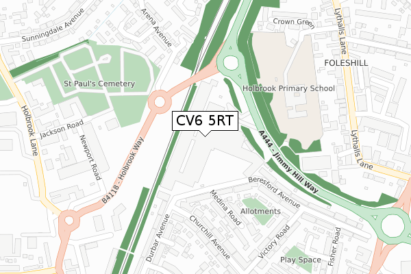
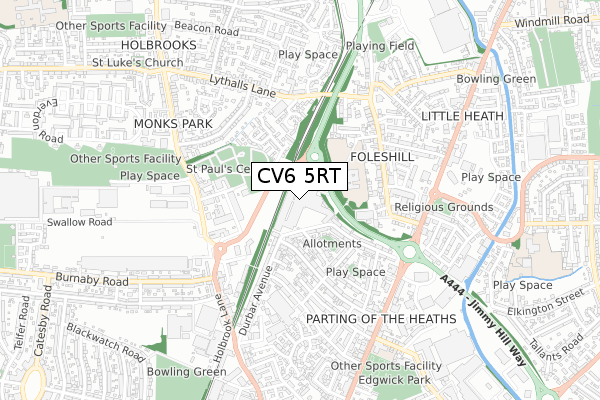
CV6 5RT is located in the Foleshill electoral ward, within the metropolitan district of Coventry and the English Parliamentary constituency of Coventry North East. The Sub Integrated Care Board (ICB) Location is NHS Coventry and Warwickshire ICB - B2M3M and the police force is West Midlands. This postcode has been in use since July 2019.


GetTheData
Source: OS Open Zoomstack (Ordnance Survey)
Licence: Open Government Licence (requires attribution)
Attribution: Contains OS data © Crown copyright and database right 2025
Source: Open Postcode Geo
Licence: Open Government Licence (requires attribution)
Attribution: Contains OS data © Crown copyright and database right 2025; Contains Royal Mail data © Royal Mail copyright and database right 2025; Source: Office for National Statistics licensed under the Open Government Licence v.3.0
| Easting | 434037 |
| Northing | 282330 |
| Latitude | 52.437905 |
| Longitude | -1.500731 |
GetTheData
Source: Open Postcode Geo
Licence: Open Government Licence
| Country | England |
| Postcode District | CV6 |
➜ See where CV6 is on a map ➜ Where is Coventry? | |
GetTheData
Source: Land Registry Price Paid Data
Licence: Open Government Licence
| Ward | Foleshill |
| Constituency | Coventry North East |
GetTheData
Source: ONS Postcode Database
Licence: Open Government Licence
| Copper Beech Close (Lythalls Lane) | Foleshill | 349m |
| Copper Beech Close (Lythalls Lane) | Foleshill | 364m |
| Jackson Rd (Holbrook Lane) | Whitmore Park | 418m |
| Jackson Rd (Holbrook Lane) | Whitmore Park | 436m |
| Bartlett Close (Lythalls Lane) | Rowley's Green | 442m |
| Coventry Arena Station | 1.2km |
| Coventry Station | 4.2km |
| Bedworth Station | 5.1km |
GetTheData
Source: NaPTAN
Licence: Open Government Licence
GetTheData
Source: ONS Postcode Database
Licence: Open Government Licence


➜ Get more ratings from the Food Standards Agency
GetTheData
Source: Food Standards Agency
Licence: FSA terms & conditions
| Last Collection | |||
|---|---|---|---|
| Location | Mon-Fri | Sat | Distance |
| Churchill Avenue | 17:15 | 10:15 | 388m |
| Middlemarch Road | 17:30 | 09:45 | 482m |
| Durbar Avenue | 17:30 | 10:00 | 647m |
GetTheData
Source: Dracos
Licence: Creative Commons Attribution-ShareAlike
The below table lists the International Territorial Level (ITL) codes (formerly Nomenclature of Territorial Units for Statistics (NUTS) codes) and Local Administrative Units (LAU) codes for CV6 5RT:
| ITL 1 Code | Name |
|---|---|
| TLG | West Midlands (England) |
| ITL 2 Code | Name |
| TLG3 | West Midlands |
| ITL 3 Code | Name |
| TLG33 | Coventry |
| LAU 1 Code | Name |
| E08000026 | Coventry |
GetTheData
Source: ONS Postcode Directory
Licence: Open Government Licence
The below table lists the Census Output Area (OA), Lower Layer Super Output Area (LSOA), and Middle Layer Super Output Area (MSOA) for CV6 5RT:
| Code | Name | |
|---|---|---|
| OA | E00048436 | |
| LSOA | E01009565 | Coventry 009A |
| MSOA | E02001966 | Coventry 009 |
GetTheData
Source: ONS Postcode Directory
Licence: Open Government Licence
| CV6 5JA | Beresford Avenue | 163m |
| CV6 5HZ | Beresford Avenue | 234m |
| CV6 5JB | Medina Road | 239m |
| CV6 5JG | Churchill Avenue | 263m |
| CV6 5LZ | Durbar Avenue | 271m |
| CV6 5JH | Churchill Avenue | 273m |
| CV6 4BS | Arena Avenue | 274m |
| CV6 4BW | Greyhound Road | 299m |
| CV6 4BJ | Arena Avenue | 299m |
| CV6 5LY | Durbar Avenue | 302m |
GetTheData
Source: Open Postcode Geo; Land Registry Price Paid Data
Licence: Open Government Licence