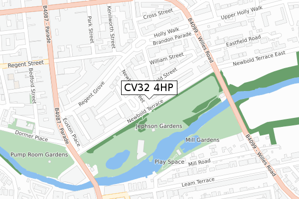
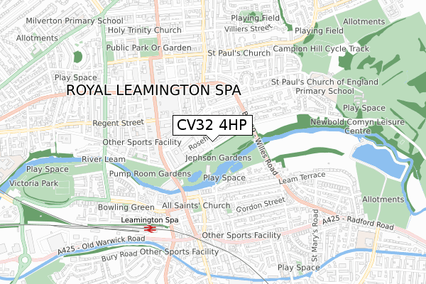
CV32 4HP is located in the Leamington Clarendon electoral ward, within the local authority district of Warwick and the English Parliamentary constituency of Warwick and Leamington. The Sub Integrated Care Board (ICB) Location is NHS Coventry and Warwickshire ICB - B2M3M and the police force is Warwickshire. This postcode has been in use since April 2020.


GetTheData
Source: OS Open Zoomstack (Ordnance Survey)
Licence: Open Government Licence (requires attribution)
Attribution: Contains OS data © Crown copyright and database right 2025
Source: Open Postcode Geo
Licence: Open Government Licence (requires attribution)
Attribution: Contains OS data © Crown copyright and database right 2025; Contains Royal Mail data © Royal Mail copyright and database right 2025; Source: Office for National Statistics licensed under the Open Government Licence v.3.0
| Easting | 432101 |
| Northing | 265777 |
| Latitude | 52.289211 |
| Longitude | -1.530784 |
GetTheData
Source: Open Postcode Geo
Licence: Open Government Licence
| Country | England |
| Postcode District | CV32 |
➜ See where CV32 is on a map ➜ Where is Royal Leamington Spa? | |
GetTheData
Source: Land Registry Price Paid Data
Licence: Open Government Licence
| Ward | Leamington Clarendon |
| Constituency | Warwick And Leamington |
GetTheData
Source: ONS Postcode Database
Licence: Open Government Licence
| Spa Centre (Newbold Terrace) | Leamington Spa | 85m |
| Police Station (Hamilton Terrace) | Leamington Spa | 194m |
| Newbold Terrace (Willes Road) | Leamington Spa | 253m |
| War Memorial (Parade) | Leamington Spa | 298m |
| Regent Hotel (Parade) | Leamington Spa | 315m |
| Leamington Spa Station | 0.6km |
| Warwick Station | 3.5km |
GetTheData
Source: NaPTAN
Licence: Open Government Licence
GetTheData
Source: ONS Postcode Database
Licence: Open Government Licence


➜ Get more ratings from the Food Standards Agency
GetTheData
Source: Food Standards Agency
Licence: FSA terms & conditions
| Last Collection | |||
|---|---|---|---|
| Location | Mon-Fri | Sat | Distance |
| Newbold Terrace | 18:15 | 12:30 | 110m |
| Hamilton Place Business Box | 222m | ||
| Regent Street East | 18:15 | 11:45 | 267m |
GetTheData
Source: Dracos
Licence: Creative Commons Attribution-ShareAlike
The below table lists the International Territorial Level (ITL) codes (formerly Nomenclature of Territorial Units for Statistics (NUTS) codes) and Local Administrative Units (LAU) codes for CV32 4HP:
| ITL 1 Code | Name |
|---|---|
| TLG | West Midlands (England) |
| ITL 2 Code | Name |
| TLG1 | Herefordshire, Worcestershire and Warwickshire |
| ITL 3 Code | Name |
| TLG13 | Warwickshire CC |
| LAU 1 Code | Name |
| E07000222 | Warwick |
GetTheData
Source: ONS Postcode Directory
Licence: Open Government Licence
The below table lists the Census Output Area (OA), Lower Layer Super Output Area (LSOA), and Middle Layer Super Output Area (MSOA) for CV32 4HP:
| Code | Name | |
|---|---|---|
| OA | E00159444 | |
| LSOA | E01031271 | Warwick 010A |
| MSOA | E02006528 | Warwick 010 |
GetTheData
Source: ONS Postcode Directory
Licence: Open Government Licence
| CV32 4HN | Newbold Street | 77m |
| CV32 4HQ | Wood Street | 83m |
| CV32 4HR | Newbold Place | 100m |
| CV32 4HD | Newbold Terrace | 131m |
| CV32 4HE | Rosefield Street | 140m |
| CV32 4LY | Hamilton Terrace | 142m |
| CV32 4EA | Newbold Terrace | 143m |
| CV32 4HJ | William Street | 161m |
| CV32 4HY | Hollywalk | 167m |
| CV32 4AP | Regent Grove | 180m |
GetTheData
Source: Open Postcode Geo; Land Registry Price Paid Data
Licence: Open Government Licence