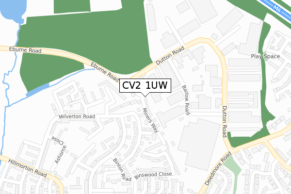
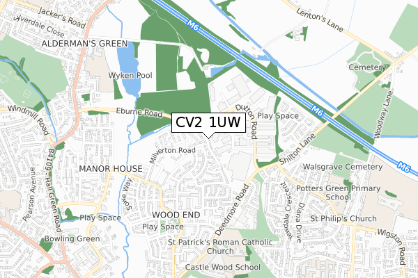
CV2 1UW is located in the Henley electoral ward, within the metropolitan district of Coventry and the English Parliamentary constituency of Coventry North East. The Sub Integrated Care Board (ICB) Location is NHS Coventry and Warwickshire ICB - B2M3M and the police force is West Midlands. This postcode has been in use since September 2018.


GetTheData
Source: OS Open Zoomstack (Ordnance Survey)
Licence: Open Government Licence (requires attribution)
Attribution: Contains OS data © Crown copyright and database right 2024
Source: Open Postcode Geo
Licence: Open Government Licence (requires attribution)
Attribution: Contains OS data © Crown copyright and database right 2024; Contains Royal Mail data © Royal Mail copyright and database right 2024; Source: Office for National Statistics licensed under the Open Government Licence v.3.0
| Easting | 436705 |
| Northing | 282908 |
| Latitude | 52.442930 |
| Longitude | -1.461423 |
GetTheData
Source: Open Postcode Geo
Licence: Open Government Licence
| Country | England |
| Postcode District | CV2 |
➜ See where CV2 is on a map ➜ Where is Coventry? | |
GetTheData
Source: Land Registry Price Paid Data
Licence: Open Government Licence
| Ward | Henley |
| Constituency | Coventry North East |
GetTheData
Source: ONS Postcode Database
Licence: Open Government Licence
| Shirebrook Close (Deedmore Rd) | Wood End | 424m |
| Milverton Rd (Hillmorton Rd) | Wood End | 441m |
| Haseley Rd (Hillmorton Rd) | Wood End | 442m |
| Shirebrook Close (Deedmore Rd) | Wood End | 445m |
| Haseley Rd (Hillmorton Rd) | Wood End | 469m |
| Coventry Arena Station | 2.3km |
| Bedworth Station | 4.1km |
| Coventry Station | 5.9km |
GetTheData
Source: NaPTAN
Licence: Open Government Licence
| Percentage of properties with Next Generation Access | 100.0% |
| Percentage of properties with Superfast Broadband | 100.0% |
| Percentage of properties with Ultrafast Broadband | 100.0% |
| Percentage of properties with Full Fibre Broadband | 100.0% |
Superfast Broadband is between 30Mbps and 300Mbps
Ultrafast Broadband is > 300Mbps
| Percentage of properties unable to receive 2Mbps | 0.0% |
| Percentage of properties unable to receive 5Mbps | 0.0% |
| Percentage of properties unable to receive 10Mbps | 0.0% |
| Percentage of properties unable to receive 30Mbps | 0.0% |
GetTheData
Source: Ofcom
Licence: Ofcom Terms of Use (requires attribution)
GetTheData
Source: ONS Postcode Database
Licence: Open Government Licence


➜ Get more ratings from the Food Standards Agency
GetTheData
Source: Food Standards Agency
Licence: FSA terms & conditions
| Last Collection | |||
|---|---|---|---|
| Location | Mon-Fri | Sat | Distance |
| Hillmorton Road Post Office | 18:15 | 11:30 | 532m |
| Privet Road | 16:45 | 11:30 | 809m |
| Hillmorton Road | 16:30 | 11:30 | 821m |
GetTheData
Source: Dracos
Licence: Creative Commons Attribution-ShareAlike
The below table lists the International Territorial Level (ITL) codes (formerly Nomenclature of Territorial Units for Statistics (NUTS) codes) and Local Administrative Units (LAU) codes for CV2 1UW:
| ITL 1 Code | Name |
|---|---|
| TLG | West Midlands (England) |
| ITL 2 Code | Name |
| TLG3 | West Midlands |
| ITL 3 Code | Name |
| TLG33 | Coventry |
| LAU 1 Code | Name |
| E08000026 | Coventry |
GetTheData
Source: ONS Postcode Directory
Licence: Open Government Licence
The below table lists the Census Output Area (OA), Lower Layer Super Output Area (LSOA), and Middle Layer Super Output Area (MSOA) for CV2 1UW:
| Code | Name | |
|---|---|---|
| OA | E00048484 | |
| LSOA | E01009584 | Coventry 007D |
| MSOA | E02001964 | Coventry 007 |
GetTheData
Source: ONS Postcode Directory
Licence: Open Government Licence
| CV2 1GJ | Ashorne Close | 189m |
| CV2 1HD | Wappenbury Road | 204m |
| CV2 1GQ | Pailton Close | 205m |
| CV2 1GR | Milverton Road | 251m |
| CV2 1HL | Binswood Close | 251m |
| CV2 1GS | Milverton Road | 264m |
| CV2 1GU | Wappenbury Road | 299m |
| CV2 1SX | Celandine Road | 303m |
| CV2 1TG | Overberry Close | 311m |
| CV2 1SZ | Bilberry Road | 312m |
GetTheData
Source: Open Postcode Geo; Land Registry Price Paid Data
Licence: Open Government Licence