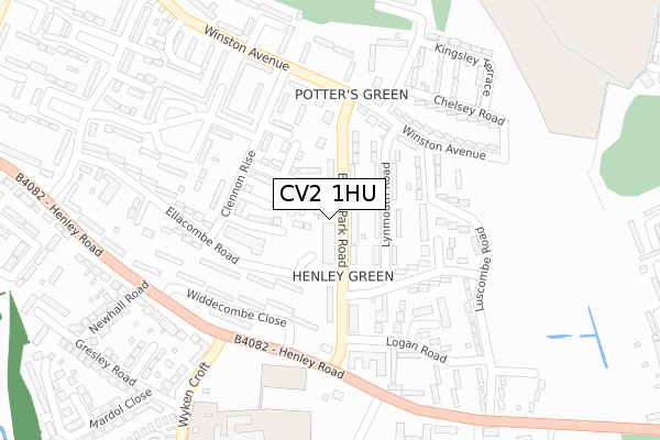
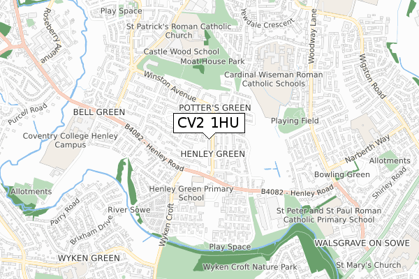
CV2 1HU is located in the Henley electoral ward, within the metropolitan district of Coventry and the English Parliamentary constituency of Coventry North East. The Sub Integrated Care Board (ICB) Location is NHS Coventry and Warwickshire ICB - B2M3M and the police force is West Midlands. This postcode has been in use since March 2018.


GetTheData
Source: OS Open Zoomstack (Ordnance Survey)
Licence: Open Government Licence (requires attribution)
Attribution: Contains OS data © Crown copyright and database right 2025
Source: Open Postcode Geo
Licence: Open Government Licence (requires attribution)
Attribution: Contains OS data © Crown copyright and database right 2025; Contains Royal Mail data © Royal Mail copyright and database right 2025; Source: Office for National Statistics licensed under the Open Government Licence v.3.0
| Easting | 436960 |
| Northing | 281630 |
| Latitude | 52.431424 |
| Longitude | -1.457813 |
GetTheData
Source: Open Postcode Geo
Licence: Open Government Licence
| Country | England |
| Postcode District | CV2 |
➜ See where CV2 is on a map ➜ Where is Coventry? | |
GetTheData
Source: Land Registry Price Paid Data
Licence: Open Government Licence
| Ward | Henley |
| Constituency | Coventry North East |
GetTheData
Source: ONS Postcode Database
Licence: Open Government Licence
| Broad Park Shops (Broad Park Rd) | Henley Green | 17m |
| Broad Park Shops (Broad Park Rd) | Henley Green | 93m |
| Logan Rd (Broad Park Rd) | Henley Green | 179m |
| Broad Park Rd (Henley Rd) | Henley Green | 235m |
| Clennon Rise (Winston Avenue) | Henley Green | 250m |
| Coventry Arena Station | 3.1km |
| Coventry Station | 5.1km |
GetTheData
Source: NaPTAN
Licence: Open Government Licence
GetTheData
Source: ONS Postcode Database
Licence: Open Government Licence


➜ Get more ratings from the Food Standards Agency
GetTheData
Source: Food Standards Agency
Licence: FSA terms & conditions
| Last Collection | |||
|---|---|---|---|
| Location | Mon-Fri | Sat | Distance |
| Broad Park Road Post Office | 18:00 | 11:30 | 81m |
| Heath Crescent | 17:30 | 10:00 | 564m |
| Hermes Crescent | 16:30 | 10:15 | 587m |
GetTheData
Source: Dracos
Licence: Creative Commons Attribution-ShareAlike
The below table lists the International Territorial Level (ITL) codes (formerly Nomenclature of Territorial Units for Statistics (NUTS) codes) and Local Administrative Units (LAU) codes for CV2 1HU:
| ITL 1 Code | Name |
|---|---|
| TLG | West Midlands (England) |
| ITL 2 Code | Name |
| TLG3 | West Midlands |
| ITL 3 Code | Name |
| TLG33 | Coventry |
| LAU 1 Code | Name |
| E08000026 | Coventry |
GetTheData
Source: ONS Postcode Directory
Licence: Open Government Licence
The below table lists the Census Output Area (OA), Lower Layer Super Output Area (LSOA), and Middle Layer Super Output Area (MSOA) for CV2 1HU:
| Code | Name | |
|---|---|---|
| OA | E00048509 | |
| LSOA | E01009581 | Coventry 007C |
| MSOA | E02001964 | Coventry 007 |
GetTheData
Source: ONS Postcode Directory
Licence: Open Government Licence
| CV2 1DD | Broad Park Road | 38m |
| CV2 1DB | Broad Park Road | 59m |
| CV2 1AN | Lynmouth Road | 69m |
| CV2 1DE | Winston Avenue | 152m |
| CV2 1AJ | Ashburton Road | 153m |
| CV2 1AP | Luscombe Road | 165m |
| CV2 1DA | Broad Park Road | 171m |
| CV2 1AL | Ashburton Road | 179m |
| CV2 1DF | Winston Avenue | 208m |
| CV2 1DQ | Winston Avenue | 234m |
GetTheData
Source: Open Postcode Geo; Land Registry Price Paid Data
Licence: Open Government Licence