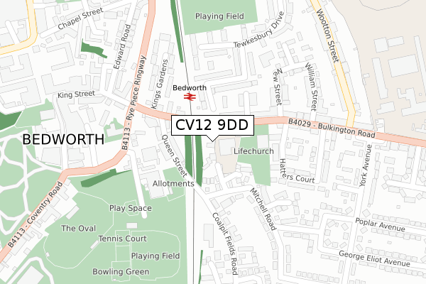
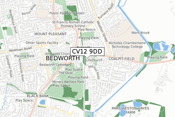
CV12 9DD is located in the Poplar electoral ward, within the local authority district of Nuneaton and Bedworth and the English Parliamentary constituency of North Warwickshire. The Sub Integrated Care Board (ICB) Location is NHS Coventry and Warwickshire ICB - B2M3M and the police force is Warwickshire. This postcode has been in use since November 2018.


GetTheData
Source: OS Open Zoomstack (Ordnance Survey)
Licence: Open Government Licence (requires attribution)
Attribution: Contains OS data © Crown copyright and database right 2025
Source: Open Postcode Geo
Licence: Open Government Licence (requires attribution)
Attribution: Contains OS data © Crown copyright and database right 2025; Contains Royal Mail data © Royal Mail copyright and database right 2025; Source: Office for National Statistics licensed under the Open Government Licence v.3.0
| Easting | 436315 |
| Northing | 286856 |
| Latitude | 52.478446 |
| Longitude | -1.466732 |
GetTheData
Source: Open Postcode Geo
Licence: Open Government Licence
| Country | England |
| Postcode District | CV12 |
➜ See where CV12 is on a map ➜ Where is Bedworth? | |
GetTheData
Source: Land Registry Price Paid Data
Licence: Open Government Licence
| Ward | Poplar |
| Constituency | North Warwickshire |
GetTheData
Source: ONS Postcode Database
Licence: Open Government Licence
| Railway Station (Bulkington Road) | Bedworth | 63m |
| Queen Street (King Street) | Bedworth | 114m |
| Railway Station (Bulkington Road) | Bedworth | 119m |
| Earl Street (Bulkington Road) | Bedworth | 119m |
| Mitchell Road (Queen Street) | Bedworth | 153m |
| Bedworth Station | 0.1km |
| Bermuda Park Station | 2.6km |
| Coventry Arena Station | 3.9km |
GetTheData
Source: NaPTAN
Licence: Open Government Licence
| Percentage of properties with Next Generation Access | 100.0% |
| Percentage of properties with Superfast Broadband | 100.0% |
| Percentage of properties with Ultrafast Broadband | 0.0% |
| Percentage of properties with Full Fibre Broadband | 0.0% |
Superfast Broadband is between 30Mbps and 300Mbps
Ultrafast Broadband is > 300Mbps
| Percentage of properties unable to receive 2Mbps | 0.0% |
| Percentage of properties unable to receive 5Mbps | 0.0% |
| Percentage of properties unable to receive 10Mbps | 0.0% |
| Percentage of properties unable to receive 30Mbps | 0.0% |
GetTheData
Source: Ofcom
Licence: Ofcom Terms of Use (requires attribution)
GetTheData
Source: ONS Postcode Database
Licence: Open Government Licence


➜ Get more ratings from the Food Standards Agency
GetTheData
Source: Food Standards Agency
Licence: FSA terms & conditions
| Last Collection | |||
|---|---|---|---|
| Location | Mon-Fri | Sat | Distance |
| Bedworth Delivery Office | 18:30 | 12:00 | 281m |
| Bedworth Delivery Office | 18:30 | 12:00 | 283m |
| Co-op (Fpo) Outside | 18:30 | 12:00 | 361m |
GetTheData
Source: Dracos
Licence: Creative Commons Attribution-ShareAlike
The below table lists the International Territorial Level (ITL) codes (formerly Nomenclature of Territorial Units for Statistics (NUTS) codes) and Local Administrative Units (LAU) codes for CV12 9DD:
| ITL 1 Code | Name |
|---|---|
| TLG | West Midlands (England) |
| ITL 2 Code | Name |
| TLG1 | Herefordshire, Worcestershire and Warwickshire |
| ITL 3 Code | Name |
| TLG13 | Warwickshire CC |
| LAU 1 Code | Name |
| E07000219 | Nuneaton and Bedworth |
GetTheData
Source: ONS Postcode Directory
Licence: Open Government Licence
The below table lists the Census Output Area (OA), Lower Layer Super Output Area (LSOA), and Middle Layer Super Output Area (MSOA) for CV12 9DD:
| Code | Name | |
|---|---|---|
| OA | E00158525 | |
| LSOA | E01031096 | Nuneaton and Bedworth 015B |
| MSOA | E02006489 | Nuneaton and Bedworth 015 |
GetTheData
Source: ONS Postcode Directory
Licence: Open Government Licence
| CV12 9NZ | The Priors | 83m |
| CV12 8JJ | Queen Street | 91m |
| CV12 9DH | Bulkington Road | 96m |
| CV12 9DQ | Railway Terrace | 99m |
| CV12 8JE | King Street | 101m |
| CV12 8JF | King Street | 105m |
| CV12 9DG | Bulkington Road | 117m |
| CV12 9DJ | Earl Street | 118m |
| CV12 9SS | Tintern Way | 168m |
| CV12 8JH | Rye Piece Ringway | 184m |
GetTheData
Source: Open Postcode Geo; Land Registry Price Paid Data
Licence: Open Government Licence