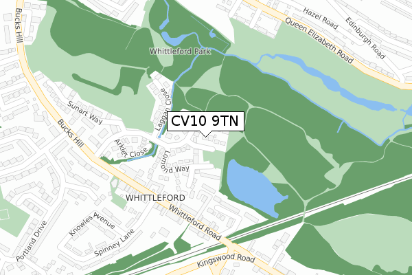
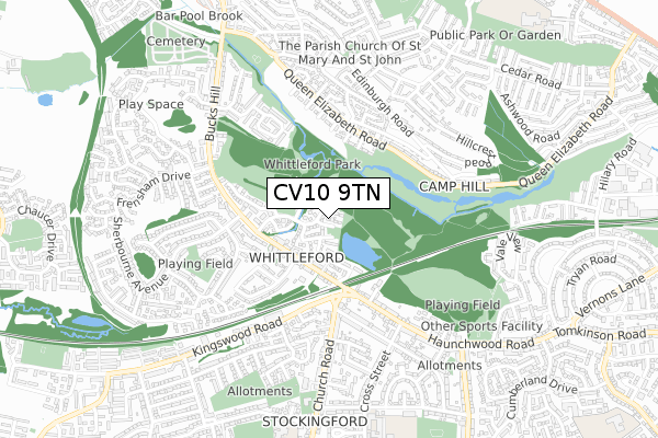
CV10 9TN is located in the Arley and Whitacre electoral ward, within the local authority district of North Warwickshire and the English Parliamentary constituency of Nuneaton. The Sub Integrated Care Board (ICB) Location is NHS Coventry and Warwickshire ICB - B2M3M and the police force is Warwickshire. This postcode has been in use since April 2020.


GetTheData
Source: OS Open Zoomstack (Ordnance Survey)
Licence: Open Government Licence (requires attribution)
Attribution: Contains OS data © Crown copyright and database right 2025
Source: Open Postcode Geo
Licence: Open Government Licence (requires attribution)
Attribution: Contains OS data © Crown copyright and database right 2025; Contains Royal Mail data © Royal Mail copyright and database right 2025; Source: Office for National Statistics licensed under the Open Government Licence v.3.0
| Easting | 430332 |
| Northing | 291404 |
| Latitude | 52.519695 |
| Longitude | -1.554407 |
GetTheData
Source: Open Postcode Geo
Licence: Open Government Licence
| Country | England |
| Postcode District | CV10 |
➜ See where CV10 is on a map ➜ Where is Ansley? | |
GetTheData
Source: Land Registry Price Paid Data
Licence: Open Government Licence
| Ward | Arley And Whitacre |
| Constituency | Nuneaton |
GetTheData
Source: ONS Postcode Database
Licence: Open Government Licence
7, MINERS CROFT, ANSLEY, NUNEATON, CV10 9TN 2020 18 DEC £294,995 |
2, MINERS CROFT, ANSLEY, NUNEATON, CV10 9TN 2020 30 SEP £288,995 |
8, MINERS CROFT, ANSLEY, NUNEATON, CV10 9TN 2020 30 SEP £279,995 |
5, MINERS CROFT, ANSLEY, NUNEATON, CV10 9TN 2020 10 SEP £279,995 |
GetTheData
Source: HM Land Registry Price Paid Data
Licence: Contains HM Land Registry data © Crown copyright and database right 2025. This data is licensed under the Open Government Licence v3.0.
| Nuthurst Crescent (Tunnel Road) | Ansley | 116m |
| Nuthurst Crescent (Tunnel Road) | Ansley | 124m |
| Lord Nelson (Birmingham Road) | Ansley | 206m |
| Lord Nelson (Birmingham Road) | Ansley | 230m |
| Arley Lane (Birmingham Road) | Ansley | 243m |
GetTheData
Source: NaPTAN
Licence: Open Government Licence
GetTheData
Source: ONS Postcode Database
Licence: Open Government Licence


➜ Get more ratings from the Food Standards Agency
GetTheData
Source: Food Standards Agency
Licence: FSA terms & conditions
| Last Collection | |||
|---|---|---|---|
| Location | Mon-Fri | Sat | Distance |
| Galley Common Post Office | 16:15 | 10:30 | 1,235m |
| Church End | 16:00 | 09:30 | 1,730m |
| Ansley Lane | 16:45 | 10:15 | 1,961m |
GetTheData
Source: Dracos
Licence: Creative Commons Attribution-ShareAlike
The below table lists the International Territorial Level (ITL) codes (formerly Nomenclature of Territorial Units for Statistics (NUTS) codes) and Local Administrative Units (LAU) codes for CV10 9TN:
| ITL 1 Code | Name |
|---|---|
| TLG | West Midlands (England) |
| ITL 2 Code | Name |
| TLG1 | Herefordshire, Worcestershire and Warwickshire |
| ITL 3 Code | Name |
| TLG13 | Warwickshire CC |
| LAU 1 Code | Name |
| E07000218 | North Warwickshire |
GetTheData
Source: ONS Postcode Directory
Licence: Open Government Licence
The below table lists the Census Output Area (OA), Lower Layer Super Output Area (LSOA), and Middle Layer Super Output Area (MSOA) for CV10 9TN:
| Code | Name | |
|---|---|---|
| OA | E00158057 | |
| LSOA | E01031005 | North Warwickshire 005A |
| MSOA | E02006472 | North Warwickshire 005 |
GetTheData
Source: ONS Postcode Directory
Licence: Open Government Licence
| CV10 9PJ | Nuthurst Crescent | 94m |
| CV10 9PF | Tunnel Road | 120m |
| CV10 9PX | Croft Mead | 185m |
| CV10 9PG | Birmingham Road | 227m |
| CV10 9PQ | Birmingham Road | 258m |
| CV10 9PH | Arley Lane | 370m |
| CV10 9PY | Wyatts Way | 396m |
| CV10 9PE | Tunnel Road | 413m |
| CV10 9PL | Birmingham Road | 434m |
| CV10 9PW | St Lawrence Road | 442m |
GetTheData
Source: Open Postcode Geo; Land Registry Price Paid Data
Licence: Open Government Licence