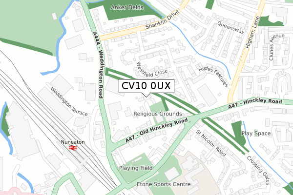
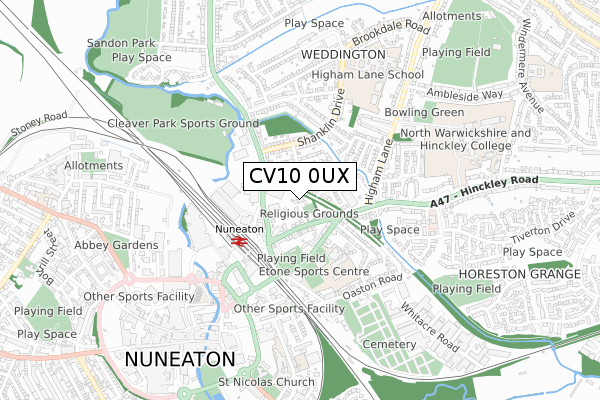
CV10 0UX is located in the Ambien electoral ward, within the local authority district of Hinckley and Bosworth and the English Parliamentary constituency of Bosworth. The Sub Integrated Care Board (ICB) Location is NHS Leicester, Leicestershire and Rutland ICB - 04V and the police force is Leicestershire. This postcode has been in use since December 2018.


GetTheData
Source: OS Open Zoomstack (Ordnance Survey)
Licence: Open Government Licence (requires attribution)
Attribution: Contains OS data © Crown copyright and database right 2025
Source: Open Postcode Geo
Licence: Open Government Licence (requires attribution)
Attribution: Contains OS data © Crown copyright and database right 2025; Contains Royal Mail data © Royal Mail copyright and database right 2025; Source: Office for National Statistics licensed under the Open Government Licence v.3.0
| Easting | 436652 |
| Northing | 295233 |
| Latitude | 52.553729 |
| Longitude | -1.460848 |
GetTheData
Source: Open Postcode Geo
Licence: Open Government Licence
| Country | England |
| Postcode District | CV10 |
➜ See where CV10 is on a map | |
GetTheData
Source: Land Registry Price Paid Data
Licence: Open Government Licence
| Ward | Ambien |
| Constituency | Bosworth |
GetTheData
Source: ONS Postcode Database
Licence: Open Government Licence
| Mira (Mira Drive) | Higham-on-the-hill | 160m |
| Turn (Weddington Lane) | Caldecote | 1,276m |
| Turn (Weddington Lane) | Caldecote | 1,307m |
| Watling Street (Higham Lane) | Nuneaton | 1,358m |
| Watling Street (Higham Lane) | Nuneaton | 1,374m |
| Nuneaton Station | 3km |
GetTheData
Source: NaPTAN
Licence: Open Government Licence
GetTheData
Source: ONS Postcode Database
Licence: Open Government Licence


➜ Get more ratings from the Food Standards Agency
GetTheData
Source: Food Standards Agency
Licence: FSA terms & conditions
| Last Collection | |||
|---|---|---|---|
| Location | Mon-Fri | Sat | Distance |
| Higham On The Hill P.o. | 17:15 | 10:30 | 1,426m |
| Watling Street | 16:00 | 09:15 | 1,699m |
| Weddington Post Office | 17:15 | 12:15 | 1,979m |
GetTheData
Source: Dracos
Licence: Creative Commons Attribution-ShareAlike
The below table lists the International Territorial Level (ITL) codes (formerly Nomenclature of Territorial Units for Statistics (NUTS) codes) and Local Administrative Units (LAU) codes for CV10 0UX:
| ITL 1 Code | Name |
|---|---|
| TLF | East Midlands (England) |
| ITL 2 Code | Name |
| TLF2 | Leicestershire, Rutland and Northamptonshire |
| ITL 3 Code | Name |
| TLF22 | Leicestershire CC and Rutland |
| LAU 1 Code | Name |
| E07000132 | Hinckley and Bosworth |
GetTheData
Source: ONS Postcode Directory
Licence: Open Government Licence
The below table lists the Census Output Area (OA), Lower Layer Super Output Area (LSOA), and Middle Layer Super Output Area (MSOA) for CV10 0UX:
| Code | Name | |
|---|---|---|
| OA | E00131003 | |
| LSOA | E01025818 | Hinckley and Bosworth 008B |
| MSOA | E02005384 | Hinckley and Bosworth 008 |
GetTheData
Source: ONS Postcode Directory
Licence: Open Government Licence
| CV10 0TT | Watling Street | 120m |
| CV10 0TX | Watling Street | 759m |
| CV13 6AA | Wood Lane | 1038m |
| CV13 6AG | Station Road | 1160m |
| CV13 6BP | 1201m | |
| CV13 6AF | Cherry Orchard Estate | 1274m |
| CV13 6AE | Main Street | 1289m |
| CV13 6AQ | Hilary Bevins Close | 1301m |
| CV10 0HA | Weddington Road | 1343m |
| CV10 0TS | Weddington Lane | 1350m |
GetTheData
Source: Open Postcode Geo; Land Registry Price Paid Data
Licence: Open Government Licence