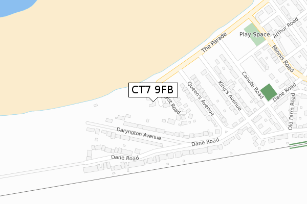
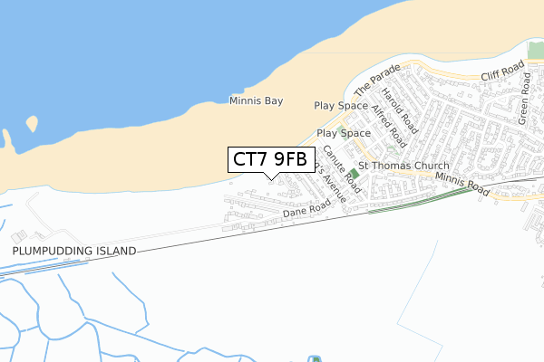
CT7 9FB is located in the Birchington North electoral ward, within the local authority district of Thanet and the English Parliamentary constituency of North Thanet. The Sub Integrated Care Board (ICB) Location is NHS Kent and Medway ICB - 91Q and the police force is Kent. This postcode has been in use since February 2020.


GetTheData
Source: OS Open Zoomstack (Ordnance Survey)
Licence: Open Government Licence (requires attribution)
Attribution: Contains OS data © Crown copyright and database right 2025
Source: Open Postcode Geo
Licence: Open Government Licence (requires attribution)
Attribution: Contains OS data © Crown copyright and database right 2025; Contains Royal Mail data © Royal Mail copyright and database right 2025; Source: Office for National Statistics licensed under the Open Government Licence v.3.0
| Easting | 628432 |
| Northing | 169409 |
| Latitude | 51.377754 |
| Longitude | 1.281088 |
GetTheData
Source: Open Postcode Geo
Licence: Open Government Licence
| Country | England |
| Postcode District | CT7 |
➜ See where CT7 is on a map ➜ Where is Margate? | |
GetTheData
Source: Land Registry Price Paid Data
Licence: Open Government Licence
| Ward | Birchington North |
| Constituency | North Thanet |
GetTheData
Source: ONS Postcode Database
Licence: Open Government Licence
| Canute Road | Minnis Bay | 290m |
| Walker Lane (Minnis Road) | Minnis Bay | 427m |
| Dane Road (Minnis Road) | Minnis Bay | 479m |
| Dane Road (Minnis Road) | Minnis Bay | 553m |
| Gallwey Avenue (Minnis Road) | Minnis Bay | 786m |
| Birchington-on-Sea Station | 1.4km |
| Westgate-on-Sea Station | 4km |
GetTheData
Source: NaPTAN
Licence: Open Government Licence
GetTheData
Source: ONS Postcode Database
Licence: Open Government Licence


➜ Get more ratings from the Food Standards Agency
GetTheData
Source: Food Standards Agency
Licence: FSA terms & conditions
| Last Collection | |||
|---|---|---|---|
| Location | Mon-Fri | Sat | Distance |
| Kings Avenue | 16:00 | 11:15 | 326m |
| Minnis Road | 17:00 | 11:45 | 576m |
| Alfred Road | 16:00 | 11:15 | 600m |
GetTheData
Source: Dracos
Licence: Creative Commons Attribution-ShareAlike
The below table lists the International Territorial Level (ITL) codes (formerly Nomenclature of Territorial Units for Statistics (NUTS) codes) and Local Administrative Units (LAU) codes for CT7 9FB:
| ITL 1 Code | Name |
|---|---|
| TLJ | South East (England) |
| ITL 2 Code | Name |
| TLJ4 | Kent |
| ITL 3 Code | Name |
| TLJ44 | East Kent |
| LAU 1 Code | Name |
| E07000114 | Thanet |
GetTheData
Source: ONS Postcode Directory
Licence: Open Government Licence
The below table lists the Census Output Area (OA), Lower Layer Super Output Area (LSOA), and Middle Layer Super Output Area (MSOA) for CT7 9FB:
| Code | Name | |
|---|---|---|
| OA | E00125032 | |
| LSOA | E01024637 | Thanet 008B |
| MSOA | E02005139 | Thanet 008 |
GetTheData
Source: ONS Postcode Directory
Licence: Open Government Licence
| CT7 9QP | Hengist Road | 84m |
| CT7 9PS | Daryngton Avenue | 92m |
| CT7 9QN | Queens Avenue | 179m |
| CT7 9PT | Dane Road | 215m |
| CT7 9QT | Dane Road | 227m |
| CT7 9PR | Dane Road | 232m |
| CT7 9QL | Kings Avenue | 261m |
| CT7 9QJ | Canute Road | 294m |
| CT7 9PP | Kings Avenue | 341m |
| CT7 9NQ | Arthur Road | 379m |
GetTheData
Source: Open Postcode Geo; Land Registry Price Paid Data
Licence: Open Government Licence