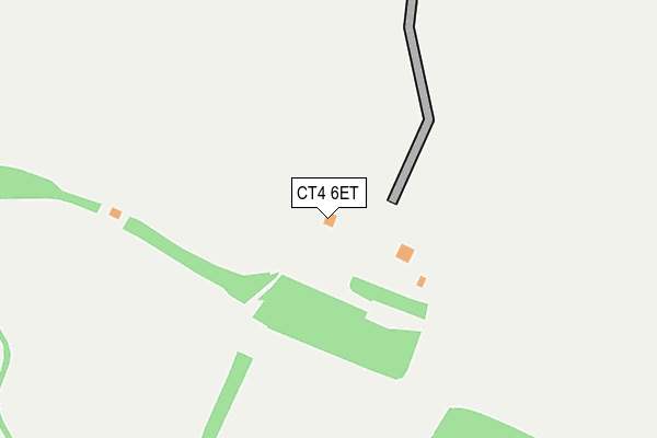
CT4 6ET is located in the Dover Downs & River electoral ward, within the local authority district of Dover and the English Parliamentary constituency of Dover. The Sub Integrated Care Board (ICB) Location is NHS Kent and Medway ICB - 91Q and the police force is Kent. This postcode has been in use since November 2009.


GetTheData
Source: OS OpenMap – Local (Ordnance Survey)
Source: OS VectorMap District (Ordnance Survey)
Licence: Open Government Licence (requires attribution)
| Easting | 623822 |
| Northing | 146852 |
| Latitude | 51.177073 |
| Longitude | 1.200813 |
GetTheData
Source: Open Postcode Geo
Licence: Open Government Licence
| Country | England |
| Postcode District | CT4 |
➜ See where CT4 is on a map | |
GetTheData
Source: Land Registry Price Paid Data
Licence: Open Government Licence
Elevation or altitude of CT4 6ET as distance above sea level:
| Metres | Feet | |
|---|---|---|
| Elevation | 110m | 361ft |
Elevation is measured from the approximate centre of the postcode, to the nearest point on an OS contour line from OS Terrain 50, which has contour spacing of ten vertical metres.
➜ How high above sea level am I? Find the elevation of your current position using your device's GPS.
GetTheData
Source: Open Postcode Elevation
Licence: Open Government Licence
| Ward | Dover Downs & River |
| Constituency | Dover |
GetTheData
Source: ONS Postcode Database
Licence: Open Government Licence
| Husks (Lydden Hill) | Lydden | 1,153m |
| Husks (Lydden Hill) | Lydden | 1,214m |
| Westcourt Lane Lay By (Westcourt Lane) | Shepherdswell | 1,959m |
| Westcourt Lane Lay By (Westcourt Lane) | Shepherdswell | 1,974m |
| Broome Park (Canterbury Road) | Denton | 2,032m |
| Shepherds Well Station | 2.4km |
| Snowdown Station | 4.3km |
GetTheData
Source: NaPTAN
Licence: Open Government Licence
GetTheData
Source: ONS Postcode Database
Licence: Open Government Licence
| Last Collection | |||
|---|---|---|---|
| Location | Mon-Fri | Sat | Distance |
| Wootton | 16:00 | 10:45 | 1,533m |
| Westcourt | 16:00 | 09:00 | 1,921m |
| Upton Wood | 17:15 | 09:00 | 2,216m |
GetTheData
Source: Dracos
Licence: Creative Commons Attribution-ShareAlike
The below table lists the International Territorial Level (ITL) codes (formerly Nomenclature of Territorial Units for Statistics (NUTS) codes) and Local Administrative Units (LAU) codes for CT4 6ET:
| ITL 1 Code | Name |
|---|---|
| TLJ | South East (England) |
| ITL 2 Code | Name |
| TLJ4 | Kent |
| ITL 3 Code | Name |
| TLJ44 | East Kent |
| LAU 1 Code | Name |
| E07000108 | Dover |
GetTheData
Source: ONS Postcode Directory
Licence: Open Government Licence
The below table lists the Census Output Area (OA), Lower Layer Super Output Area (LSOA), and Middle Layer Super Output Area (MSOA) for CT4 6ET:
| Code | Name | |
|---|---|---|
| OA | E00122869 | |
| LSOA | E01024203 | Dover 008B |
| MSOA | E02005048 | Dover 008 |
GetTheData
Source: ONS Postcode Directory
Licence: Open Government Licence
| CT4 6RY | Geddinge | 742m |
| CT4 6RU | Wootton Lane | 926m |
| CT15 7NB | Cox Hill | 1261m |
| CT4 6RL | Shelvin | 1427m |
| CT4 6RT | Wootton Lane | 1498m |
| CT15 7JL | 1564m | |
| CT4 6RW | Denton Lane | 1576m |
| CT4 6RP | Wootton Lane | 1638m |
| CT4 6RJ | Shelvin Lane | 1667m |
| CT15 7NF | Diamond Villas | 1677m |
GetTheData
Source: Open Postcode Geo; Land Registry Price Paid Data
Licence: Open Government Licence