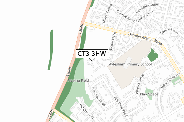
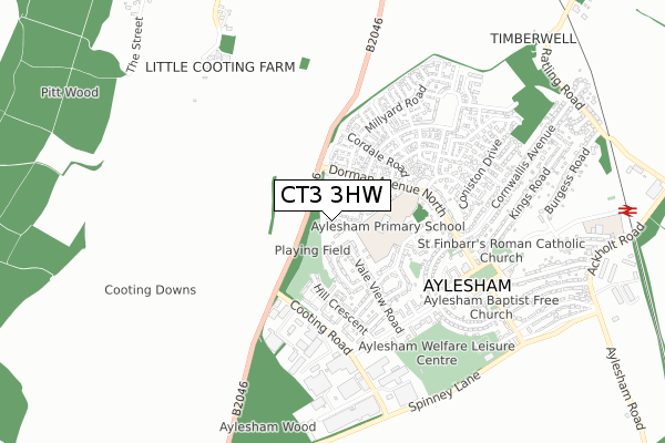
CT3 3HW is located in the Aylesham, Eythorne & Shepherdswell electoral ward, within the local authority district of Dover and the English Parliamentary constituency of Dover. The Sub Integrated Care Board (ICB) Location is NHS Kent and Medway ICB - 91Q and the police force is Kent. This postcode has been in use since April 2020.


GetTheData
Source: OS Open Zoomstack (Ordnance Survey)
Licence: Open Government Licence (requires attribution)
Attribution: Contains OS data © Crown copyright and database right 2025
Source: Open Postcode Geo
Licence: Open Government Licence (requires attribution)
Attribution: Contains OS data © Crown copyright and database right 2025; Contains Royal Mail data © Royal Mail copyright and database right 2025; Source: Office for National Statistics licensed under the Open Government Licence v.3.0
| Easting | 623066 |
| Northing | 152440 |
| Latitude | 51.227541 |
| Longitude | 1.193515 |
GetTheData
Source: Open Postcode Geo
Licence: Open Government Licence
| Country | England |
| Postcode District | CT3 |
➜ See where CT3 is on a map ➜ Where is Aylesham? | |
GetTheData
Source: Land Registry Price Paid Data
Licence: Open Government Licence
| Ward | Aylesham, Eythorne & Shepherdswell |
| Constituency | Dover |
GetTheData
Source: ONS Postcode Database
Licence: Open Government Licence
10, GOLDTHORPE DRIVE, AYLESHAM, CANTERBURY, CT3 3HW 2021 10 JUN £255,995 |
11, GOLDTHORPE DRIVE, AYLESHAM, CANTERBURY, CT3 3HW 2021 27 MAY £323,995 |
1, GOLDTHORPE DRIVE, AYLESHAM, CANTERBURY, CT3 3HW 2020 27 FEB £272,995 |
3, GOLDTHORPE DRIVE, AYLESHAM, CANTERBURY, CT3 3HW 2020 20 FEB £272,995 |
GetTheData
Source: HM Land Registry Price Paid Data
Licence: Contains HM Land Registry data © Crown copyright and database right 2025. This data is licensed under the Open Government Licence v3.0.
| Dorman Avenue North (Adisham Road) | Aylesham | 222m |
| Oakside Road | Aylesham | 343m |
| Attlee Avenue | Aylesham | 397m |
| Derwent Way (Dorman Avenue North) | Aylesham | 409m |
| Elm Road (Hill Crescent) | Aylesham | 467m |
| Aylesham Station | 1.1km |
| Adisham Station | 1.6km |
| Snowdown Station | 2km |
GetTheData
Source: NaPTAN
Licence: Open Government Licence
GetTheData
Source: ONS Postcode Database
Licence: Open Government Licence

➜ Get more ratings from the Food Standards Agency
GetTheData
Source: Food Standards Agency
Licence: FSA terms & conditions
| Last Collection | |||
|---|---|---|---|
| Location | Mon-Fri | Sat | Distance |
| Attlee Avenue | 16:15 | 09:00 | 314m |
| Hill Crescent | 16:15 | 09:00 | 365m |
| Aylesham Post Office | 17:00 | 09:30 | 590m |
GetTheData
Source: Dracos
Licence: Creative Commons Attribution-ShareAlike
The below table lists the International Territorial Level (ITL) codes (formerly Nomenclature of Territorial Units for Statistics (NUTS) codes) and Local Administrative Units (LAU) codes for CT3 3HW:
| ITL 1 Code | Name |
|---|---|
| TLJ | South East (England) |
| ITL 2 Code | Name |
| TLJ4 | Kent |
| ITL 3 Code | Name |
| TLJ44 | East Kent |
| LAU 1 Code | Name |
| E07000108 | Dover |
GetTheData
Source: ONS Postcode Directory
Licence: Open Government Licence
The below table lists the Census Output Area (OA), Lower Layer Super Output Area (LSOA), and Middle Layer Super Output Area (MSOA) for CT3 3HW:
| Code | Name | |
|---|---|---|
| OA | E00122806 | |
| LSOA | E01024192 | Dover 006C |
| MSOA | E02005046 | Dover 006 |
GetTheData
Source: ONS Postcode Directory
Licence: Open Government Licence
| CT3 3BY | Newman Road | 201m |
| CT3 3BZ | Newman Road | 201m |
| CT3 3DB | Vale View Road | 216m |
| CT3 3DF | Hill Crescent | 288m |
| CT3 3BP | Dorman Avenue North | 290m |
| CT3 3DQ | Hill Crescent | 300m |
| CT3 3EH | Cordale Road | 303m |
| CT3 3DA | Woodland Avenue | 311m |
| CT3 3DG | Ash Road | 318m |
| CT3 3BU | Attlee Avenue | 327m |
GetTheData
Source: Open Postcode Geo; Land Registry Price Paid Data
Licence: Open Government Licence