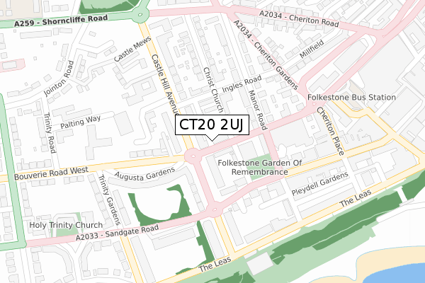
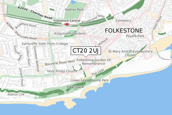
CT20 2UJ is located in the Folkestone Central electoral ward, within the local authority district of Folkestone and Hythe and the English Parliamentary constituency of Folkestone and Hythe. The Sub Integrated Care Board (ICB) Location is NHS Kent and Medway ICB - 91Q and the police force is Kent. This postcode has been in use since October 2019.


GetTheData
Source: OS Open Zoomstack (Ordnance Survey)
Licence: Open Government Licence (requires attribution)
Attribution: Contains OS data © Crown copyright and database right 2025
Source: Open Postcode Geo
Licence: Open Government Licence (requires attribution)
Attribution: Contains OS data © Crown copyright and database right 2025; Contains Royal Mail data © Royal Mail copyright and database right 2025; Source: Office for National Statistics licensed under the Open Government Licence v.3.0
| Easting | 622296 |
| Northing | 135796 |
| Latitude | 51.078408 |
| Longitude | 1.172236 |
GetTheData
Source: Open Postcode Geo
Licence: Open Government Licence
| Country | England |
| Postcode District | CT20 |
➜ See where CT20 is on a map ➜ Where is Folkestone? | |
GetTheData
Source: Land Registry Price Paid Data
Licence: Open Government Licence
| Ward | Folkestone Central |
| Constituency | Folkestone And Hythe |
GetTheData
Source: ONS Postcode Database
Licence: Open Government Licence
| Civic Centre (Castle Hill Avenue) | Folkestone | 42m |
| Bouverie Road West | Folkestone | 110m |
| Civic Centre (Castle Hill Avenue) | Folkestone | 134m |
| Castle House (Castle Hill Avenue) | Folkestone | 138m |
| Bouverie Road West | Folkestone | 148m |
| Folkestone Central Station | 0.5km |
| Folkestone West Station | 1.5km |
GetTheData
Source: NaPTAN
Licence: Open Government Licence
GetTheData
Source: ONS Postcode Database
Licence: Open Government Licence


➜ Get more ratings from the Food Standards Agency
GetTheData
Source: Food Standards Agency
Licence: FSA terms & conditions
| Last Collection | |||
|---|---|---|---|
| Location | Mon-Fri | Sat | Distance |
| Ingles Road | 17:45 | 12:00 | 127m |
| Langhorne Gardens | 18:00 | 12:00 | 178m |
| Pleasure Gardens (Ex P O) | 17:30 | 12:00 | 209m |
GetTheData
Source: Dracos
Licence: Creative Commons Attribution-ShareAlike
The below table lists the International Territorial Level (ITL) codes (formerly Nomenclature of Territorial Units for Statistics (NUTS) codes) and Local Administrative Units (LAU) codes for CT20 2UJ:
| ITL 1 Code | Name |
|---|---|
| TLJ | South East (England) |
| ITL 2 Code | Name |
| TLJ4 | Kent |
| ITL 3 Code | Name |
| TLJ44 | East Kent |
| LAU 1 Code | Name |
| E07000112 | Folkestone and Hythe |
GetTheData
Source: ONS Postcode Directory
Licence: Open Government Licence
The below table lists the Census Output Area (OA), Lower Layer Super Output Area (LSOA), and Middle Layer Super Output Area (MSOA) for CT20 2UJ:
| Code | Name | |
|---|---|---|
| OA | E00124388 | |
| LSOA | E01024508 | Shepway 015A |
| MSOA | E02006880 | Shepway 015 |
GetTheData
Source: ONS Postcode Directory
Licence: Open Government Licence
| CT20 2SZ | Bouverie Road West | 39m |
| CT20 2SS | Christ Church Road | 51m |
| CT20 2QT | Castle Hill Avenue | 69m |
| CT20 2SD | Ingles Mews | 77m |
| CT20 2SN | Ingles Road | 93m |
| CT20 2QU | Castle Hill Avenue | 94m |
| CT20 2SU | Christ Church Road | 99m |
| CT20 2SW | Shelleys Mews | 117m |
| CT20 2BY | Sandgate Road | 117m |
| CT20 2QZ | Court Place | 118m |
GetTheData
Source: Open Postcode Geo; Land Registry Price Paid Data
Licence: Open Government Licence