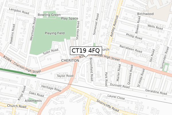
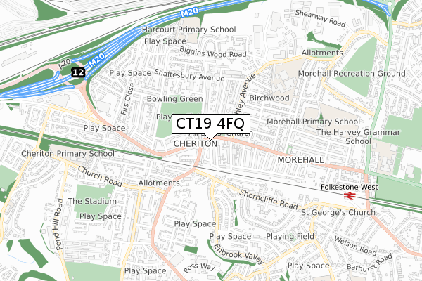
CT19 4FQ is located in the Cheriton electoral ward, within the local authority district of Folkestone and Hythe and the English Parliamentary constituency of Folkestone and Hythe. The Sub Integrated Care Board (ICB) Location is NHS Kent and Medway ICB - 91Q and the police force is Kent. This postcode has been in use since April 2020.


GetTheData
Source: OS Open Zoomstack (Ordnance Survey)
Licence: Open Government Licence (requires attribution)
Attribution: Contains OS data © Crown copyright and database right 2025
Source: Open Postcode Geo
Licence: Open Government Licence (requires attribution)
Attribution: Contains OS data © Crown copyright and database right 2025; Contains Royal Mail data © Royal Mail copyright and database right 2025; Source: Office for National Statistics licensed under the Open Government Licence v.3.0
| Easting | 620169 |
| Northing | 136768 |
| Latitude | 51.087954 |
| Longitude | 1.142510 |
GetTheData
Source: Open Postcode Geo
Licence: Open Government Licence
| Country | England |
| Postcode District | CT19 |
➜ See where CT19 is on a map ➜ Where is Folkestone? | |
GetTheData
Source: Land Registry Price Paid Data
Licence: Open Government Licence
| Ward | Cheriton |
| Constituency | Folkestone And Hythe |
GetTheData
Source: ONS Postcode Database
Licence: Open Government Licence
| Cheriton Post Office (High Street) | Cheriton | 96m |
| Taylor Road (Risborough Lane) | Cheriton | 144m |
| Taylor Road (Risborough Lane) | Cheriton | 146m |
| Cheriton Post Office (High Street) | Cheriton | 148m |
| Stoddart Road (Ashley Avenue) | Cheriton | 320m |
| Folkestone West Station | 0.9km |
| Folkestone Central Station | 2km |
GetTheData
Source: NaPTAN
Licence: Open Government Licence
GetTheData
Source: ONS Postcode Database
Licence: Open Government Licence


➜ Get more ratings from the Food Standards Agency
GetTheData
Source: Food Standards Agency
Licence: FSA terms & conditions
| Last Collection | |||
|---|---|---|---|
| Location | Mon-Fri | Sat | Distance |
| Cheriton Post Office | 18:00 | 12:00 | 141m |
| Shorncliffe Crescent | 17:45 | 12:00 | 379m |
| Church Road | 17:30 | 12:00 | 407m |
GetTheData
Source: Dracos
Licence: Creative Commons Attribution-ShareAlike
The below table lists the International Territorial Level (ITL) codes (formerly Nomenclature of Territorial Units for Statistics (NUTS) codes) and Local Administrative Units (LAU) codes for CT19 4FQ:
| ITL 1 Code | Name |
|---|---|
| TLJ | South East (England) |
| ITL 2 Code | Name |
| TLJ4 | Kent |
| ITL 3 Code | Name |
| TLJ44 | East Kent |
| LAU 1 Code | Name |
| E07000112 | Folkestone and Hythe |
GetTheData
Source: ONS Postcode Directory
Licence: Open Government Licence
The below table lists the Census Output Area (OA), Lower Layer Super Output Area (LSOA), and Middle Layer Super Output Area (MSOA) for CT19 4FQ:
| Code | Name | |
|---|---|---|
| OA | E00124419 | |
| LSOA | E01024512 | Shepway 006B |
| MSOA | E02005107 | Shepway 006 |
GetTheData
Source: ONS Postcode Directory
Licence: Open Government Licence
| CT19 4HE | Cheriton High Street | 14m |
| CT19 4DU | Broomfield Road | 33m |
| CT19 4HB | Cheriton High Street | 40m |
| CT19 4DL | Cheriton High Street | 40m |
| CT19 4EZ | Cheriton High Street | 72m |
| CT19 4DJ | Broomfield Road | 87m |
| CT19 4DH | Broomfield Road | 95m |
| CT19 4JH | Risborough Lane | 102m |
| CT19 4PX | Ashley Avenue | 124m |
| CT19 4HG | Chilham Road | 126m |
GetTheData
Source: Open Postcode Geo; Land Registry Price Paid Data
Licence: Open Government Licence