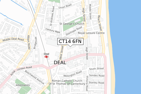
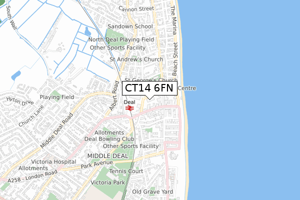
CT14 6FN is located in the North Deal electoral ward, within the local authority district of Dover and the English Parliamentary constituency of Dover. The Sub Integrated Care Board (ICB) Location is NHS Kent and Medway ICB - 91Q and the police force is Kent. This postcode has been in use since December 2019.


GetTheData
Source: OS Open Zoomstack (Ordnance Survey)
Licence: Open Government Licence (requires attribution)
Attribution: Contains OS data © Crown copyright and database right 2024
Source: Open Postcode Geo
Licence: Open Government Licence (requires attribution)
Attribution: Contains OS data © Crown copyright and database right 2024; Contains Royal Mail data © Royal Mail copyright and database right 2024; Source: Office for National Statistics licensed under the Open Government Licence v.3.0
| Easting | 637579 |
| Northing | 152662 |
| Latitude | 51.223687 |
| Longitude | 1.401143 |
GetTheData
Source: Open Postcode Geo
Licence: Open Government Licence
| Country | England |
| Postcode District | CT14 |
➜ See where CT14 is on a map ➜ Where is Deal? | |
GetTheData
Source: Land Registry Price Paid Data
Licence: Open Government Licence
| Ward | North Deal |
| Constituency | Dover |
GetTheData
Source: ONS Postcode Database
Licence: Open Government Licence
| Queen Street | Deal | 83m |
| Queen Street | Deal | 97m |
| Railway Station (Station Road) | Deal | 165m |
| Pier (Beach Street) | Deal | 234m |
| South Street | Deal | 235m |
| Deal Station | 0.2km |
| Walmer Station | 2.6km |
| Sandwich Station | 6.6km |
GetTheData
Source: NaPTAN
Licence: Open Government Licence
GetTheData
Source: ONS Postcode Database
Licence: Open Government Licence


➜ Get more ratings from the Food Standards Agency
GetTheData
Source: Food Standards Agency
Licence: FSA terms & conditions
| Last Collection | |||
|---|---|---|---|
| Location | Mon-Fri | Sat | Distance |
| Queen Street Post Office | 17:15 | 10:30 | 85m |
| Deal Post Office | 17:30 | 12:30 | 167m |
| St Andrews Road | 16:00 | 10:30 | 219m |
GetTheData
Source: Dracos
Licence: Creative Commons Attribution-ShareAlike
The below table lists the International Territorial Level (ITL) codes (formerly Nomenclature of Territorial Units for Statistics (NUTS) codes) and Local Administrative Units (LAU) codes for CT14 6FN:
| ITL 1 Code | Name |
|---|---|
| TLJ | South East (England) |
| ITL 2 Code | Name |
| TLJ4 | Kent |
| ITL 3 Code | Name |
| TLJ44 | East Kent |
| LAU 1 Code | Name |
| E07000108 | Dover |
GetTheData
Source: ONS Postcode Directory
Licence: Open Government Licence
The below table lists the Census Output Area (OA), Lower Layer Super Output Area (LSOA), and Middle Layer Super Output Area (MSOA) for CT14 6FN:
| Code | Name | |
|---|---|---|
| OA | E00122997 | |
| LSOA | E01024228 | Dover 004A |
| MSOA | E02005044 | Dover 004 |
GetTheData
Source: ONS Postcode Directory
Licence: Open Government Licence
| CT14 6AG | Park Street | 45m |
| CT14 6AQ | Park Street | 64m |
| CT14 6AD | Stanhope Road | 82m |
| CT14 6EX | Queen Street | 94m |
| CT14 6ET | Queen Street | 96m |
| CT14 6EL | High Street | 102m |
| CT14 6AH | West Street | 112m |
| CT14 6EJ | George Alley | 118m |
| CT14 6EY | Queen Street | 121m |
| CT14 6HA | Queens Mews | 124m |
GetTheData
Source: Open Postcode Geo; Land Registry Price Paid Data
Licence: Open Government Licence