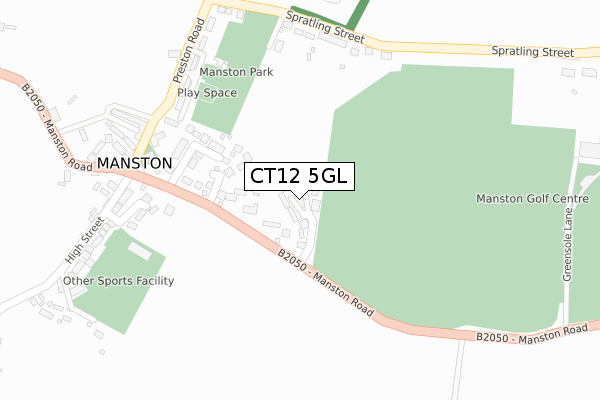
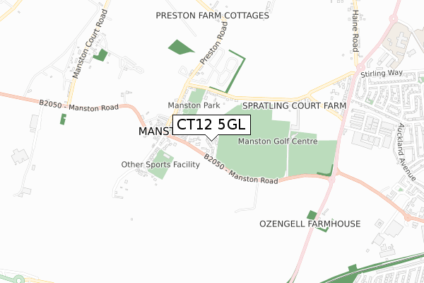
CT12 5GL is located in the Thanet Villages electoral ward, within the local authority district of Thanet and the English Parliamentary constituency of North Thanet. The Sub Integrated Care Board (ICB) Location is NHS Kent and Medway ICB - 91Q and the police force is Kent. This postcode has been in use since August 2019.


GetTheData
Source: OS Open Zoomstack (Ordnance Survey)
Licence: Open Government Licence (requires attribution)
Attribution: Contains OS data © Crown copyright and database right 2025
Source: Open Postcode Geo
Licence: Open Government Licence (requires attribution)
Attribution: Contains OS data © Crown copyright and database right 2025; Contains Royal Mail data © Royal Mail copyright and database right 2025; Source: Office for National Statistics licensed under the Open Government Licence v.3.0
| Easting | 635032 |
| Northing | 166109 |
| Latitude | 51.345443 |
| Longitude | 1.373573 |
GetTheData
Source: Open Postcode Geo
Licence: Open Government Licence
| Country | England |
| Postcode District | CT12 |
➜ See where CT12 is on a map | |
GetTheData
Source: Land Registry Price Paid Data
Licence: Open Government Licence
| Ward | Thanet Villages |
| Constituency | North Thanet |
GetTheData
Source: ONS Postcode Database
Licence: Open Government Licence
| Church (Manston Road) | Manston | 262m |
| Church (Preston Drive) | Manston | 272m |
| Church (Manston Road) | Manston | 273m |
| Stirling Way (Haine Road) | Haine | 888m |
| Stirling Way (Haine Road) | Haine | 888m |
| Ramsgate Station | 2.4km |
| Dumpton Park Station | 3.6km |
| Minster Station | 4.3km |
GetTheData
Source: NaPTAN
Licence: Open Government Licence
GetTheData
Source: ONS Postcode Database
Licence: Open Government Licence


➜ Get more ratings from the Food Standards Agency
GetTheData
Source: Food Standards Agency
Licence: FSA terms & conditions
| Last Collection | |||
|---|---|---|---|
| Location | Mon-Fri | Sat | Distance |
| Manston | 17:00 | 09:00 | 295m |
| Manston Court Road | 17:00 | 09:00 | 916m |
| Foads Hill | 17:00 | 09:00 | 1,131m |
GetTheData
Source: Dracos
Licence: Creative Commons Attribution-ShareAlike
The below table lists the International Territorial Level (ITL) codes (formerly Nomenclature of Territorial Units for Statistics (NUTS) codes) and Local Administrative Units (LAU) codes for CT12 5GL:
| ITL 1 Code | Name |
|---|---|
| TLJ | South East (England) |
| ITL 2 Code | Name |
| TLJ4 | Kent |
| ITL 3 Code | Name |
| TLJ44 | East Kent |
| LAU 1 Code | Name |
| E07000114 | Thanet |
GetTheData
Source: ONS Postcode Directory
Licence: Open Government Licence
The below table lists the Census Output Area (OA), Lower Layer Super Output Area (LSOA), and Middle Layer Super Output Area (MSOA) for CT12 5GL:
| Code | Name | |
|---|---|---|
| OA | E00166939 | |
| LSOA | E01024701 | Thanet 014A |
| MSOA | E02005145 | Thanet 014 |
GetTheData
Source: ONS Postcode Directory
Licence: Open Government Licence
| CT12 5GS | Highlands Glade | 0m |
| CT12 5BE | Manston Road | 115m |
| CT12 5EF | Elm Grove | 130m |
| CT12 5BD | St Catherines Grove | 186m |
| CT12 5BB | Manston Road | 226m |
| CT12 5BY | Daigor Lane | 269m |
| CT12 5AW | Spratling Street | 274m |
| CT12 5AP | Preston Road | 294m |
| CT12 5BG | High Street | 320m |
| CT12 5AZ | The Green | 320m |
GetTheData
Source: Open Postcode Geo; Land Registry Price Paid Data
Licence: Open Government Licence