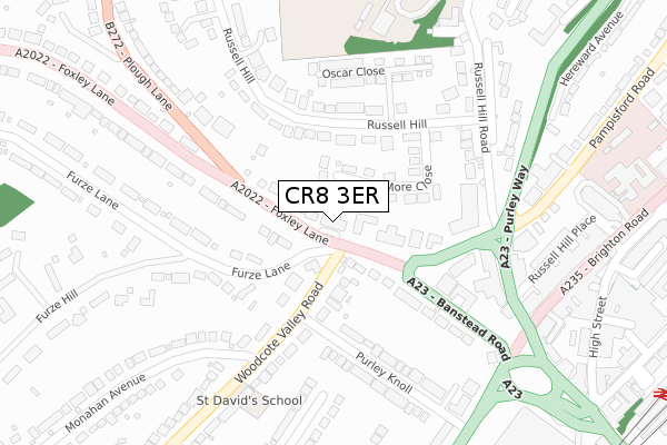
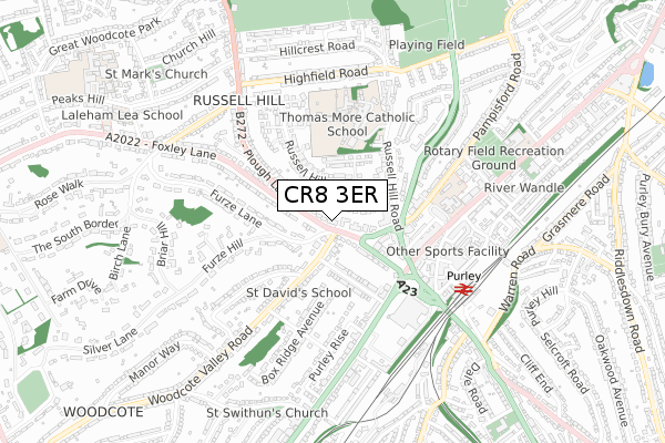
CR8 3ER is located in the Purley & Woodcote electoral ward, within the London borough of Croydon and the English Parliamentary constituency of Croydon South. The Sub Integrated Care Board (ICB) Location is NHS South West London ICB - 36L and the police force is Metropolitan Police. This postcode has been in use since March 2019.


GetTheData
Source: OS Open Zoomstack (Ordnance Survey)
Licence: Open Government Licence (requires attribution)
Attribution: Contains OS data © Crown copyright and database right 2025
Source: Open Postcode Geo
Licence: Open Government Licence (requires attribution)
Attribution: Contains OS data © Crown copyright and database right 2025; Contains Royal Mail data © Royal Mail copyright and database right 2025; Source: Office for National Statistics licensed under the Open Government Licence v.3.0
| Easting | 530973 |
| Northing | 161781 |
| Latitude | 51.340036 |
| Longitude | -0.121044 |
GetTheData
Source: Open Postcode Geo
Licence: Open Government Licence
| Country | England |
| Postcode District | CR8 |
➜ See where CR8 is on a map ➜ Where is Purley? | |
GetTheData
Source: Land Registry Price Paid Data
Licence: Open Government Licence
| Ward | Purley & Woodcote |
| Constituency | Croydon South |
GetTheData
Source: ONS Postcode Database
Licence: Open Government Licence
| Purley Library (Foxley Lane) | Purley | 87m |
| Purley Knoll | Purley | 128m |
| Purley Knoll | Purley | 131m |
| Plough Lane Foxley Lane | Purley | 210m |
| Plough Lane Foxley Lane | Purley | 233m |
| Purley Station | 0.6km |
| Reedham (Surrey) Station | 1km |
| Riddlesdown Station | 1.7km |
GetTheData
Source: NaPTAN
Licence: Open Government Licence
| Percentage of properties with Next Generation Access | 100.0% |
| Percentage of properties with Superfast Broadband | 100.0% |
| Percentage of properties with Ultrafast Broadband | 100.0% |
| Percentage of properties with Full Fibre Broadband | 0.0% |
Superfast Broadband is between 30Mbps and 300Mbps
Ultrafast Broadband is > 300Mbps
| Percentage of properties unable to receive 2Mbps | 0.0% |
| Percentage of properties unable to receive 5Mbps | 0.0% |
| Percentage of properties unable to receive 10Mbps | 0.0% |
| Percentage of properties unable to receive 30Mbps | 0.0% |
GetTheData
Source: Ofcom
Licence: Ofcom Terms of Use (requires attribution)
GetTheData
Source: ONS Postcode Database
Licence: Open Government Licence


➜ Get more ratings from the Food Standards Agency
GetTheData
Source: Food Standards Agency
Licence: FSA terms & conditions
| Last Collection | |||
|---|---|---|---|
| Location | Mon-Fri | Sat | Distance |
| Rusell Hill Road | 18:30 | 12:00 | 278m |
| Purley Mspo | 18:30 | 12:00 | 359m |
| Brighton Road (814) | 18:30 | 12:00 | 382m |
GetTheData
Source: Dracos
Licence: Creative Commons Attribution-ShareAlike
The below table lists the International Territorial Level (ITL) codes (formerly Nomenclature of Territorial Units for Statistics (NUTS) codes) and Local Administrative Units (LAU) codes for CR8 3ER:
| ITL 1 Code | Name |
|---|---|
| TLI | London |
| ITL 2 Code | Name |
| TLI6 | Outer London - South |
| ITL 3 Code | Name |
| TLI62 | Croydon |
| LAU 1 Code | Name |
| E09000008 | Croydon |
GetTheData
Source: ONS Postcode Directory
Licence: Open Government Licence
The below table lists the Census Output Area (OA), Lower Layer Super Output Area (LSOA), and Middle Layer Super Output Area (MSOA) for CR8 3ER:
| Code | Name | |
|---|---|---|
| OA | E00005464 | |
| LSOA | E01001092 | Croydon 037B |
| MSOA | E02000230 | Croydon 037 |
GetTheData
Source: ONS Postcode Directory
Licence: Open Government Licence
| CR8 3ED | Foxley Lane | 45m |
| CR8 3EN | Foxley Lane | 90m |
| CR8 2JN | More Close | 94m |
| CR8 3AG | Woodcote Valley Road | 106m |
| CR8 3AH | Woodcote Valley Road | 111m |
| CR8 3EP | Foxley Lane | 148m |
| CR8 3EB | Banstead Road | 151m |
| CR8 2EY | Russell Hill | 153m |
| CR8 3AE | Purley Knoll | 203m |
| CR8 3EF | Foxley Lane | 204m |
GetTheData
Source: Open Postcode Geo; Land Registry Price Paid Data
Licence: Open Government Licence