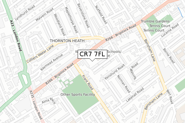
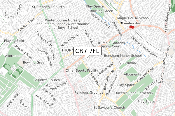
CR7 7FL is located in the Bensham Manor electoral ward, within the London borough of Croydon and the English Parliamentary constituency of Croydon North. The Sub Integrated Care Board (ICB) Location is NHS South West London ICB - 36L and the police force is Metropolitan Police. This postcode has been in use since March 2019.


GetTheData
Source: OS Open Zoomstack (Ordnance Survey)
Licence: Open Government Licence (requires attribution)
Attribution: Contains OS data © Crown copyright and database right 2025
Source: Open Postcode Geo
Licence: Open Government Licence (requires attribution)
Attribution: Contains OS data © Crown copyright and database right 2025; Contains Royal Mail data © Royal Mail copyright and database right 2025; Source: Office for National Statistics licensed under the Open Government Licence v.3.0
| Easting | 531634 |
| Northing | 167888 |
| Latitude | 51.394767 |
| Longitude | -0.109301 |
GetTheData
Source: Open Postcode Geo
Licence: Open Government Licence
| Country | England |
| Postcode District | CR7 |
➜ See where CR7 is on a map ➜ Where is London? | |
GetTheData
Source: Land Registry Price Paid Data
Licence: Open Government Licence
| Ward | Bensham Manor |
| Constituency | Croydon North |
GetTheData
Source: ONS Postcode Database
Licence: Open Government Licence
| Whitehorse Manor Brigstock Site (Brigstock Road) | Thornton Heath | 71m |
| Whitehorse Manor Brigstock Site (Brigstock Road) | Thornton Heath | 71m |
| Nutfield Road (Brigstock Road) | Thornton Heath | 201m |
| Bensham Lane (Brigstock Road) | Thornton Heath | 279m |
| Brigstock Road London Road (Brigstock Road) | Thornton Heath | 306m |
| Therapia Lane Tram Stop (Off Alfriston Ave) | Broad Green | 1,703m |
| Ampere Way Tram Stop (Ampere Way) | Broad Green | 1,708m |
| Thornton Heath Station | 0.8km |
| Selhurst Station | 1.5km |
| West Croydon Station | 1.9km |
GetTheData
Source: NaPTAN
Licence: Open Government Licence
| Percentage of properties with Next Generation Access | 100.0% |
| Percentage of properties with Superfast Broadband | 100.0% |
| Percentage of properties with Ultrafast Broadband | 100.0% |
| Percentage of properties with Full Fibre Broadband | 100.0% |
Superfast Broadband is between 30Mbps and 300Mbps
Ultrafast Broadband is > 300Mbps
| Percentage of properties unable to receive 2Mbps | 0.0% |
| Percentage of properties unable to receive 5Mbps | 0.0% |
| Percentage of properties unable to receive 10Mbps | 0.0% |
| Percentage of properties unable to receive 30Mbps | 0.0% |
GetTheData
Source: Ofcom
Licence: Ofcom Terms of Use (requires attribution)
GetTheData
Source: ONS Postcode Database
Licence: Open Government Licence


➜ Get more ratings from the Food Standards Agency
GetTheData
Source: Food Standards Agency
Licence: FSA terms & conditions
| Last Collection | |||
|---|---|---|---|
| Location | Mon-Fri | Sat | Distance |
| Brigstock Road(228) | 17:45 | 12:00 | 184m |
| Colliers Water Lane (46) | 18:15 | 12:00 | 237m |
| Frant Road(100) | 17:30 | 12:00 | 304m |
GetTheData
Source: Dracos
Licence: Creative Commons Attribution-ShareAlike
The below table lists the International Territorial Level (ITL) codes (formerly Nomenclature of Territorial Units for Statistics (NUTS) codes) and Local Administrative Units (LAU) codes for CR7 7FL:
| ITL 1 Code | Name |
|---|---|
| TLI | London |
| ITL 2 Code | Name |
| TLI6 | Outer London - South |
| ITL 3 Code | Name |
| TLI62 | Croydon |
| LAU 1 Code | Name |
| E09000008 | Croydon |
GetTheData
Source: ONS Postcode Directory
Licence: Open Government Licence
The below table lists the Census Output Area (OA), Lower Layer Super Output Area (LSOA), and Middle Layer Super Output Area (MSOA) for CR7 7FL:
| Code | Name | |
|---|---|---|
| OA | E00004966 | |
| LSOA | E01001002 | Croydon 009F |
| MSOA | E02000202 | Croydon 009 |
GetTheData
Source: ONS Postcode Directory
Licence: Open Government Licence
| CR7 7JN | Brigstock Road | 37m |
| CR7 7JE | Brigstock Road | 77m |
| CR7 7JW | Frant Road | 94m |
| CR7 7BE | Haslemere Road | 105m |
| CR7 7BF | Haslemere Road | 115m |
| CR7 7LB | Colliers Water Lane | 124m |
| CR7 7EE | Penshurst Road | 129m |
| CR7 7JT | Brigstock Road | 138m |
| CR7 7EF | Penshurst Road | 155m |
| CR7 7LF | Colliers Water Lane | 158m |
GetTheData
Source: Open Postcode Geo; Land Registry Price Paid Data
Licence: Open Government Licence