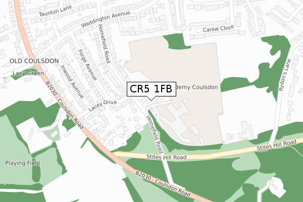
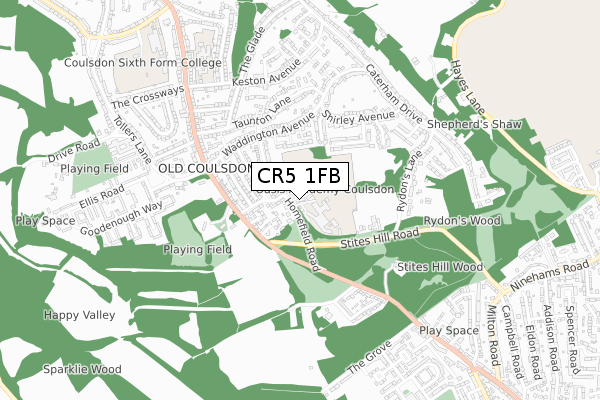
CR5 1FB is located in the Old Coulsdon electoral ward, within the London borough of Croydon and the English Parliamentary constituency of Croydon South. The Sub Integrated Care Board (ICB) Location is NHS South West London ICB - 36L and the police force is Metropolitan Police. This postcode has been in use since November 2019.


GetTheData
Source: OS Open Zoomstack (Ordnance Survey)
Licence: Open Government Licence (requires attribution)
Attribution: Contains OS data © Crown copyright and database right 2025
Source: Open Postcode Geo
Licence: Open Government Licence (requires attribution)
Attribution: Contains OS data © Crown copyright and database right 2025; Contains Royal Mail data © Royal Mail copyright and database right 2025; Source: Office for National Statistics licensed under the Open Government Licence v.3.0
| Easting | 531725 |
| Northing | 157289 |
| Latitude | 51.299493 |
| Longitude | -0.111911 |
GetTheData
Source: Open Postcode Geo
Licence: Open Government Licence
| Country | England |
| Postcode District | CR5 |
➜ See where CR5 is on a map ➜ Where is Coulsdon? | |
GetTheData
Source: Land Registry Price Paid Data
Licence: Open Government Licence
| Ward | Old Coulsdon |
| Constituency | Croydon South |
GetTheData
Source: ONS Postcode Database
Licence: Open Government Licence
| Lacey Drive | Old Coulsdon | 185m |
| Lacey Drive | Old Coulsdon | 194m |
| Homefield Road | Old Coulsdon | 200m |
| Homefield Road | Old Coulsdon | 201m |
| Coulsdon Road Lacey Drive (Coulsdon Road) | Old Coulsdon | 261m |
| Whyteleafe Station | 2.4km |
| Whyteleafe South Station | 2.5km |
| Coulsdon South Station | 2.6km |
GetTheData
Source: NaPTAN
Licence: Open Government Licence
GetTheData
Source: ONS Postcode Database
Licence: Open Government Licence


➜ Get more ratings from the Food Standards Agency
GetTheData
Source: Food Standards Agency
Licence: FSA terms & conditions
| Last Collection | |||
|---|---|---|---|
| Location | Mon-Fri | Sat | Distance |
| The Fox(The Fox Pub) | 16:00 | 12:00 | 446m |
| Keston Avenue(30) | 16:00 | 12:00 | 575m |
| Caterham Drive (179) | 16:30 | 12:00 | 627m |
GetTheData
Source: Dracos
Licence: Creative Commons Attribution-ShareAlike
The below table lists the International Territorial Level (ITL) codes (formerly Nomenclature of Territorial Units for Statistics (NUTS) codes) and Local Administrative Units (LAU) codes for CR5 1FB:
| ITL 1 Code | Name |
|---|---|
| TLI | London |
| ITL 2 Code | Name |
| TLI6 | Outer London - South |
| ITL 3 Code | Name |
| TLI62 | Croydon |
| LAU 1 Code | Name |
| E09000008 | Croydon |
GetTheData
Source: ONS Postcode Directory
Licence: Open Government Licence
The below table lists the Census Output Area (OA), Lower Layer Super Output Area (LSOA), and Middle Layer Super Output Area (MSOA) for CR5 1FB:
| Code | Name | |
|---|---|---|
| OA | E00005091 | |
| LSOA | E01001022 | Croydon 044E |
| MSOA | E02000237 | Croydon 044 |
GetTheData
Source: ONS Postcode Directory
Licence: Open Government Licence
| CR5 1ER | Lacey Drive | 158m |
| CR5 1ES | Homefield Road | 160m |
| CR5 1PX | Commonside Close | 174m |
| CR5 1EQ | Tennison Close | 175m |
| CR5 1ET | Homefield Road | 181m |
| CR5 1LR | Forge Avenue | 215m |
| CR5 1QD | Waddington Close | 226m |
| CR5 1EP | Coulsdon Road | 227m |
| CR5 1QQ | Lingfield Gardens | 234m |
| CR5 1LS | Forge Avenue | 251m |
GetTheData
Source: Open Postcode Geo; Land Registry Price Paid Data
Licence: Open Government Licence