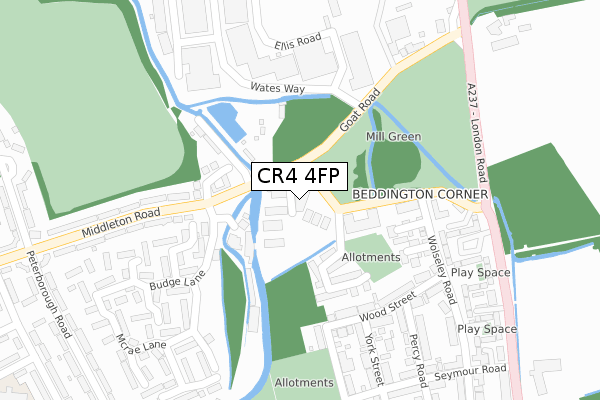
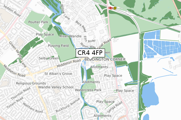
CR4 4FP is located in the Hackbridge electoral ward, within the London borough of Sutton and the English Parliamentary constituency of Carshalton and Wallington. The Sub Integrated Care Board (ICB) Location is NHS South West London ICB - 36L and the police force is Metropolitan Police. This postcode has been in use since February 2020.


GetTheData
Source: OS Open Zoomstack (Ordnance Survey)
Licence: Open Government Licence (requires attribution)
Attribution: Contains OS data © Crown copyright and database right 2025
Source: Open Postcode Geo
Licence: Open Government Licence (requires attribution)
Attribution: Contains OS data © Crown copyright and database right 2025; Contains Royal Mail data © Royal Mail copyright and database right 2025; Source: Office for National Statistics licensed under the Open Government Licence v.3.0
| Easting | 527958 |
| Northing | 166876 |
| Latitude | 51.386511 |
| Longitude | -0.162474 |
GetTheData
Source: Open Postcode Geo
Licence: Open Government Licence
| Country | England |
| Postcode District | CR4 |
➜ See where CR4 is on a map ➜ Where is London? | |
GetTheData
Source: Land Registry Price Paid Data
Licence: Open Government Licence
| Ward | Hackbridge |
| Constituency | Carshalton And Wallington |
GetTheData
Source: ONS Postcode Database
Licence: Open Government Licence
| Mill Green Business Park | Beddington Corner | 138m |
| Mill Green Road | Beddington Corner | 276m |
| Mill Green Road | Beddington Corner | 312m |
| Mill Green Road | Beddington Corner | 327m |
| Carshalton Road The Goat | Mitcham | 385m |
| Mitcham Junction Tram Stop (Off Carshalton Road) | Mitcham | 766m |
| Mitcham Tram Stop (Off London Road) | Mitcham | 1,354m |
| Beddington Lane Tram Stop (Off Beddington Lane) | Beddington Corner | 1,447m |
| Mitcham Junction Station | 0.8km |
| Hackbridge Station | 1.1km |
| Carshalton Station | 2km |
GetTheData
Source: NaPTAN
Licence: Open Government Licence
GetTheData
Source: ONS Postcode Database
Licence: Open Government Licence


➜ Get more ratings from the Food Standards Agency
GetTheData
Source: Food Standards Agency
Licence: FSA terms & conditions
| Last Collection | |||
|---|---|---|---|
| Location | Mon-Fri | Sat | Distance |
| Budge Lane (1) | 16:30 | 12:00 | 152m |
| Wates Way | 18:30 | 204m | |
| Wates Way (Outside 48) | 16:30 | 12:00 | 204m |
GetTheData
Source: Dracos
Licence: Creative Commons Attribution-ShareAlike
The below table lists the International Territorial Level (ITL) codes (formerly Nomenclature of Territorial Units for Statistics (NUTS) codes) and Local Administrative Units (LAU) codes for CR4 4FP:
| ITL 1 Code | Name |
|---|---|
| TLI | London |
| ITL 2 Code | Name |
| TLI6 | Outer London - South |
| ITL 3 Code | Name |
| TLI63 | Merton, Kingston upon Thames and Sutton |
| LAU 1 Code | Name |
| E09000029 | Sutton |
GetTheData
Source: ONS Postcode Directory
Licence: Open Government Licence
The below table lists the Census Output Area (OA), Lower Layer Super Output Area (LSOA), and Middle Layer Super Output Area (MSOA) for CR4 4FP:
| Code | Name | |
|---|---|---|
| OA | E00021093 | |
| LSOA | E01004185 | Sutton 001D |
| MSOA | E02000840 | Sutton 001 |
GetTheData
Source: ONS Postcode Directory
Licence: Open Government Licence
| SM5 1HX | Maynooth Gardens | 150m |
| SM5 1HZ | Watermead Lane | 179m |
| CR4 4NP | Lyle Close | 181m |
| CR4 4HY | Mill Green Road | 185m |
| CR4 4NW | Oakdale Way | 197m |
| CR4 4JT | Wood Street | 220m |
| CR4 4JS | Wood Street | 250m |
| CR4 4AZ | Budge Lane | 264m |
| CR4 4JJ | Mill Green London Road | 267m |
| SM5 1HU | Middleton Road | 293m |
GetTheData
Source: Open Postcode Geo; Land Registry Price Paid Data
Licence: Open Government Licence