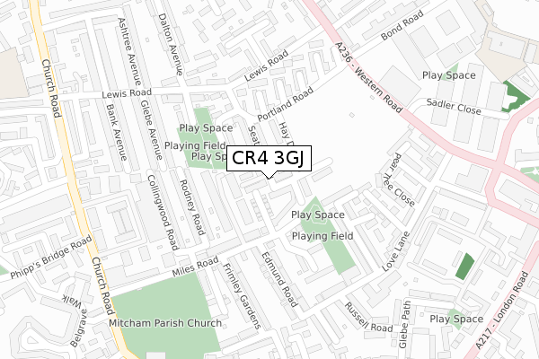
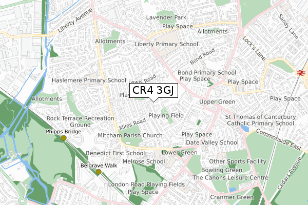
CR4 3GJ is located in the Lavender Fields electoral ward, within the London borough of Merton and the English Parliamentary constituency of Mitcham and Morden. The Sub Integrated Care Board (ICB) Location is NHS South West London ICB - 36L and the police force is Metropolitan Police. This postcode has been in use since April 2020.


GetTheData
Source: OS Open Zoomstack (Ordnance Survey)
Licence: Open Government Licence (requires attribution)
Attribution: Contains OS data © Crown copyright and database right 2024
Source: Open Postcode Geo
Licence: Open Government Licence (requires attribution)
Attribution: Contains OS data © Crown copyright and database right 2024; Contains Royal Mail data © Royal Mail copyright and database right 2024; Source: Office for National Statistics licensed under the Open Government Licence v.3.0
| Easting | 526842 |
| Northing | 169322 |
| Latitude | 51.408744 |
| Longitude | -0.177630 |
GetTheData
Source: Open Postcode Geo
Licence: Open Government Licence
| Country | England |
| Postcode District | CR4 |
➜ See where CR4 is on a map ➜ Where is London? | |
GetTheData
Source: Land Registry Price Paid Data
Licence: Open Government Licence
| Ward | Lavender Fields |
| Constituency | Mitcham And Morden |
GetTheData
Source: ONS Postcode Database
Licence: Open Government Licence
| Mount Road Church Road | Collier's Wood | 103m |
| Mount Road Church Road (Church Road) | Collier's Wood | 192m |
| Haslemere Avenue (Cr4) (Haslemere Avenue) | Collier's Wood | 193m |
| Haslemere Avenue (Cr4) (Haslemere Avenue) | Collier's Wood | 261m |
| Chelsea Fields | Collier's Wood | 338m |
| Phipps Bridge Tram Stop (New Close-phipps Bridge) | Morden | 679m |
| Belgrave Walk Tram Stop (Belgrave Walk) | Morden | 868m |
| Colliers Wood Underground Station | Collier's Wood | 1,047m |
| Morden Road Tram Stop (Morden Road) | Merton Park | 1,056m |
| South Wimbledon Underground Station | South Wimbledon | 1,237m |
| Mitcham Eastfields Station | 1.6km |
| Tooting Station | 1.7km |
| Haydons Road Station | 2km |
GetTheData
Source: NaPTAN
Licence: Open Government Licence
GetTheData
Source: ONS Postcode Database
Licence: Open Government Licence


➜ Get more ratings from the Food Standards Agency
GetTheData
Source: Food Standards Agency
Licence: FSA terms & conditions
| Last Collection | |||
|---|---|---|---|
| Location | Mon-Fri | Sat | Distance |
| Glebe Avenue (4) | 17:15 | 12:00 | 236m |
| Cobham Court | 17:15 | 12:00 | 341m |
| Western Road (145) | 16:00 | 12:00 | 394m |
GetTheData
Source: Dracos
Licence: Creative Commons Attribution-ShareAlike
The below table lists the International Territorial Level (ITL) codes (formerly Nomenclature of Territorial Units for Statistics (NUTS) codes) and Local Administrative Units (LAU) codes for CR4 3GJ:
| ITL 1 Code | Name |
|---|---|
| TLI | London |
| ITL 2 Code | Name |
| TLI6 | Outer London - South |
| ITL 3 Code | Name |
| TLI63 | Merton, Kingston upon Thames and Sutton |
| LAU 1 Code | Name |
| E09000024 | Merton |
GetTheData
Source: ONS Postcode Directory
Licence: Open Government Licence
The below table lists the Census Output Area (OA), Lower Layer Super Output Area (LSOA), and Middle Layer Super Output Area (MSOA) for CR4 3GJ:
| Code | Name | |
|---|---|---|
| OA | E00017236 | |
| LSOA | E01003410 | Merton 012E |
| MSOA | E02000700 | Merton 012 |
GetTheData
Source: ONS Postcode Directory
Licence: Open Government Licence
| CR4 3EX | Church Road | 60m |
| CR4 3DN | Hawthorne Avenue | 80m |
| CR4 3BH | Church Road | 87m |
| SW19 2UH | Sheldrick Close | 95m |
| CR4 3LS | Lewis Road | 99m |
| CR4 3BB | Roslyn Close | 124m |
| CR4 3DQ | Oakwood Avenue | 124m |
| CR4 3DP | Oakwood Avenue | 145m |
| CR4 3BD | Church Road | 146m |
| CR4 3BA | Haslemere Avenue | 174m |
GetTheData
Source: Open Postcode Geo; Land Registry Price Paid Data
Licence: Open Government Licence