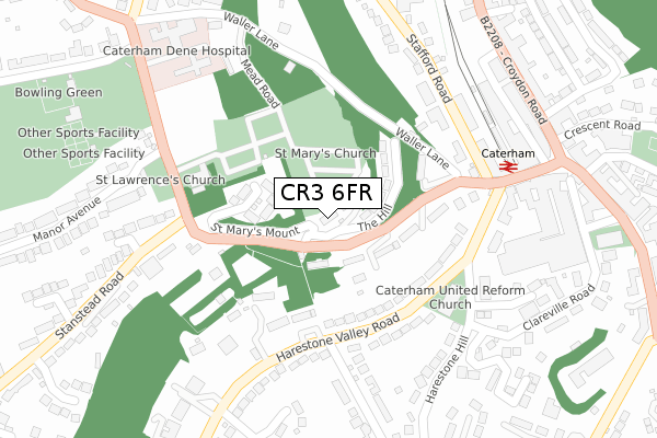
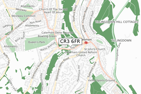
CR3 6FR is located in the Harestone electoral ward, within the local authority district of Tandridge and the English Parliamentary constituency of East Surrey. The Sub Integrated Care Board (ICB) Location is NHS Surrey Heartlands ICB - 92A and the police force is Surrey. This postcode has been in use since April 2020.


GetTheData
Source: OS Open Zoomstack (Ordnance Survey)
Licence: Open Government Licence (requires attribution)
Attribution: Contains OS data © Crown copyright and database right 2025
Source: Open Postcode Geo
Licence: Open Government Licence (requires attribution)
Attribution: Contains OS data © Crown copyright and database right 2025; Contains Royal Mail data © Royal Mail copyright and database right 2025; Source: Office for National Statistics licensed under the Open Government Licence v.3.0
| Easting | 533836 |
| Northing | 155340 |
| Latitude | 51.281486 |
| Longitude | -0.082380 |
GetTheData
Source: Open Postcode Geo
Licence: Open Government Licence
| Country | England |
| Postcode District | CR3 |
➜ See where CR3 is on a map ➜ Where is Caterham? | |
GetTheData
Source: Land Registry Price Paid Data
Licence: Open Government Licence
| Ward | Harestone |
| Constituency | East Surrey |
GetTheData
Source: ONS Postcode Database
Licence: Open Government Licence
| Caterham Hospital (Church Road) | Caterham | 304m |
| Caterham Railway Station (Station Avenue) | Caterham | 305m |
| Caterham Railway Station (Station Avenue) | Caterham | 309m |
| Caterham Hospital (Church Road) | Caterham | 328m |
| Caterham Valley (Croydon Road) | Caterham | 355m |
| Caterham Station | 0.3km |
| Woldingham Station | 2.3km |
| Whyteleafe South Station | 2.5km |
GetTheData
Source: NaPTAN
Licence: Open Government Licence
GetTheData
Source: ONS Postcode Database
Licence: Open Government Licence


➜ Get more ratings from the Food Standards Agency
GetTheData
Source: Food Standards Agency
Licence: FSA terms & conditions
| Last Collection | |||
|---|---|---|---|
| Location | Mon-Fri | Sat | Distance |
| Caterham Mspo | 17:15 | 12:00 | 276m |
| High Street(91 Cedarhse) | 16:45 | 12:00 | 440m |
| Caterham Delivery Office | 18:30 | 12:00 | 516m |
GetTheData
Source: Dracos
Licence: Creative Commons Attribution-ShareAlike
The below table lists the International Territorial Level (ITL) codes (formerly Nomenclature of Territorial Units for Statistics (NUTS) codes) and Local Administrative Units (LAU) codes for CR3 6FR:
| ITL 1 Code | Name |
|---|---|
| TLJ | South East (England) |
| ITL 2 Code | Name |
| TLJ2 | Surrey, East and West Sussex |
| ITL 3 Code | Name |
| TLJ26 | East Surrey |
| LAU 1 Code | Name |
| E07000215 | Tandridge |
GetTheData
Source: ONS Postcode Directory
Licence: Open Government Licence
The below table lists the Census Output Area (OA), Lower Layer Super Output Area (LSOA), and Middle Layer Super Output Area (MSOA) for CR3 6FR:
| Code | Name | |
|---|---|---|
| OA | E00157194 | |
| LSOA | E01030829 | Tandridge 004B |
| MSOA | E02006431 | Tandridge 004 |
GetTheData
Source: ONS Postcode Directory
Licence: Open Government Licence
| CR3 6SA | Church Hill | 75m |
| CR3 6SJ | St Marys Mount | 91m |
| CR3 6SD | Church Hill | 98m |
| CR3 6SB | Church Hill | 118m |
| CR3 6HD | Harestone Valley Road | 158m |
| CR3 6SE | Church Hill | 161m |
| CR3 6HN | Harestone Valley Road | 207m |
| CR3 5EA | Waller Lane | 243m |
| CR3 6HE | Harestone Valley Road | 246m |
| CR3 6JG | Stafford Road | 252m |
GetTheData
Source: Open Postcode Geo; Land Registry Price Paid Data
Licence: Open Government Licence