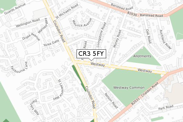
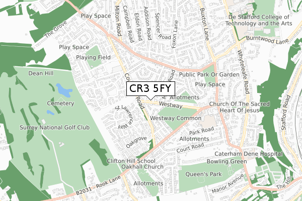
CR3 5FY is located in the Westway electoral ward, within the local authority district of Tandridge and the English Parliamentary constituency of East Surrey. The Sub Integrated Care Board (ICB) Location is NHS Surrey Heartlands ICB - 92A and the police force is Surrey. This postcode has been in use since June 2019.


GetTheData
Source: OS Open Zoomstack (Ordnance Survey)
Licence: Open Government Licence (requires attribution)
Attribution: Contains OS data © Crown copyright and database right 2025
Source: Open Postcode Geo
Licence: Open Government Licence (requires attribution)
Attribution: Contains OS data © Crown copyright and database right 2025; Contains Royal Mail data © Royal Mail copyright and database right 2025; Source: Office for National Statistics licensed under the Open Government Licence v.3.0
| Easting | 532796 |
| Northing | 156038 |
| Latitude | 51.288002 |
| Longitude | -0.097023 |
GetTheData
Source: Open Postcode Geo
Licence: Open Government Licence
| Country | England |
| Postcode District | CR3 |
➜ See where CR3 is on a map ➜ Where is Caterham? | |
GetTheData
Source: Land Registry Price Paid Data
Licence: Open Government Licence
| Ward | Westway |
| Constituency | East Surrey |
GetTheData
Source: ONS Postcode Database
Licence: Open Government Licence
| Hambledon Road (Coulsdon Road) | Caterham | 99m |
| Hambledon Road (Coulsdon Road) | Caterham | 119m |
| Yorke Gate (Coulsdon Road) | Caterham | 200m |
| Yorke Gate (Coulsdon Road) | Caterham | 219m |
| Westway Common (Westway) | Caterham | 250m |
| Caterham Station | 1.5km |
| Whyteleafe South Station | 2.2km |
| Upper Warlingham Station | 2.6km |
GetTheData
Source: NaPTAN
Licence: Open Government Licence
| Percentage of properties with Next Generation Access | 100.0% |
| Percentage of properties with Superfast Broadband | 100.0% |
| Percentage of properties with Ultrafast Broadband | 0.0% |
| Percentage of properties with Full Fibre Broadband | 0.0% |
Superfast Broadband is between 30Mbps and 300Mbps
Ultrafast Broadband is > 300Mbps
| Percentage of properties unable to receive 2Mbps | 0.0% |
| Percentage of properties unable to receive 5Mbps | 0.0% |
| Percentage of properties unable to receive 10Mbps | 0.0% |
| Percentage of properties unable to receive 30Mbps | 0.0% |
GetTheData
Source: Ofcom
Licence: Ofcom Terms of Use (requires attribution)
GetTheData
Source: ONS Postcode Database
Licence: Open Government Licence


➜ Get more ratings from the Food Standards Agency
GetTheData
Source: Food Standards Agency
Licence: FSA terms & conditions
| Last Collection | |||
|---|---|---|---|
| Location | Mon-Fri | Sat | Distance |
| Westway | 16:45 | 12:00 | 34m |
| Chaldon Common Road (Opp40a) | 16:30 | 12:00 | 330m |
| Coulsdon Road (188) | 17:30 | 12:00 | 595m |
GetTheData
Source: Dracos
Licence: Creative Commons Attribution-ShareAlike
The below table lists the International Territorial Level (ITL) codes (formerly Nomenclature of Territorial Units for Statistics (NUTS) codes) and Local Administrative Units (LAU) codes for CR3 5FY:
| ITL 1 Code | Name |
|---|---|
| TLJ | South East (England) |
| ITL 2 Code | Name |
| TLJ2 | Surrey, East and West Sussex |
| ITL 3 Code | Name |
| TLJ26 | East Surrey |
| LAU 1 Code | Name |
| E07000215 | Tandridge |
GetTheData
Source: ONS Postcode Directory
Licence: Open Government Licence
The below table lists the Census Output Area (OA), Lower Layer Super Output Area (LSOA), and Middle Layer Super Output Area (MSOA) for CR3 5FY:
| Code | Name | |
|---|---|---|
| OA | E00157338 | |
| LSOA | E01030858 | Tandridge 003E |
| MSOA | E02006430 | Tandridge 003 |
GetTheData
Source: ONS Postcode Directory
Licence: Open Government Licence
| CR3 5TQ | Westway | 27m |
| CR3 5TP | Westway | 28m |
| CR3 5NF | Coulsdon Road | 75m |
| CR3 5NR | Francis Road | 94m |
| CR3 5NX | Clifton Close | 105m |
| CR3 5TG | Livingstone Road | 130m |
| CR3 5NN | William Road | 151m |
| CR3 5EY | Soper Drive | 152m |
| CR3 5TJ | Livingstone Road | 156m |
| CR3 5EX | Christie Walk | 158m |
GetTheData
Source: Open Postcode Geo; Land Registry Price Paid Data
Licence: Open Government Licence