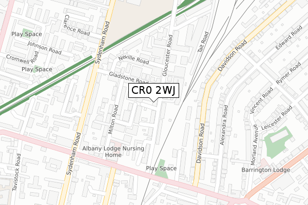
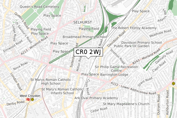
CR0 2WJ is located in the Selhurst electoral ward, within the London borough of Croydon and the English Parliamentary constituency of Croydon North. The Sub Integrated Care Board (ICB) Location is NHS South West London ICB - 36L and the police force is Metropolitan Police. This postcode has been in use since July 2018.


GetTheData
Source: OS Open Zoomstack (Ordnance Survey)
Licence: Open Government Licence (requires attribution)
Attribution: Contains OS data © Crown copyright and database right 2025
Source: Open Postcode Geo
Licence: Open Government Licence (requires attribution)
Attribution: Contains OS data © Crown copyright and database right 2025; Contains Royal Mail data © Royal Mail copyright and database right 2025; Source: Office for National Statistics licensed under the Open Government Licence v.3.0
| Easting | 532989 |
| Northing | 166645 |
| Latitude | 51.383281 |
| Longitude | -0.090302 |
GetTheData
Source: Open Postcode Geo
Licence: Open Government Licence
| Country | England |
| Postcode District | CR0 |
➜ See where CR0 is on a map ➜ Where is Croydon? | |
GetTheData
Source: Land Registry Price Paid Data
Licence: Open Government Licence
| Ward | Selhurst |
| Constituency | Croydon North |
GetTheData
Source: ONS Postcode Database
Licence: Open Government Licence
| Stretton Road (Davidson Road) | Selhurst | 155m |
| Stretton Road (Davidson Road) | Selhurst | 200m |
| Alexandra Place (Davidson Road) | Selhurst | 211m |
| Alexandra Place (Davidson Road) | Selhurst | 242m |
| Lansdowne Road | Selhurst | 254m |
| West Croydon Tram Stop (Station Road) | Croydon | 926m |
| East Croydon Tram Stop (George Street) | Croydon | 948m |
| Lebanon Road Tram Stop (Addiscombe Road) | Addiscombe | 972m |
| Wellesley Road Tram Stop (Wellesley Road) | Croydon | 1,014m |
| George Street Tram Stop (George Street) | Croydon | 1,190m |
| East Croydon Station | 0.9km |
| Selhurst Station | 1km |
| West Croydon Station | 1km |
GetTheData
Source: NaPTAN
Licence: Open Government Licence
| Percentage of properties with Next Generation Access | 100.0% |
| Percentage of properties with Superfast Broadband | 100.0% |
| Percentage of properties with Ultrafast Broadband | 100.0% |
| Percentage of properties with Full Fibre Broadband | 100.0% |
Superfast Broadband is between 30Mbps and 300Mbps
Ultrafast Broadband is > 300Mbps
| Percentage of properties unable to receive 2Mbps | 0.0% |
| Percentage of properties unable to receive 5Mbps | 0.0% |
| Percentage of properties unable to receive 10Mbps | 0.0% |
| Percentage of properties unable to receive 30Mbps | 0.0% |
GetTheData
Source: Ofcom
Licence: Ofcom Terms of Use (requires attribution)
GetTheData
Source: ONS Postcode Database
Licence: Open Government Licence

➜ Get more ratings from the Food Standards Agency
GetTheData
Source: Food Standards Agency
Licence: FSA terms & conditions
| Last Collection | |||
|---|---|---|---|
| Location | Mon-Fri | Sat | Distance |
| Gloucester Road | 18:15 | 12:00 | 145m |
| Davidson Road (178) | 17:30 | 12:00 | 283m |
| Lower Addiscombe Road (26) | 18:15 | 12:00 | 340m |
GetTheData
Source: Dracos
Licence: Creative Commons Attribution-ShareAlike
The below table lists the International Territorial Level (ITL) codes (formerly Nomenclature of Territorial Units for Statistics (NUTS) codes) and Local Administrative Units (LAU) codes for CR0 2WJ:
| ITL 1 Code | Name |
|---|---|
| TLI | London |
| ITL 2 Code | Name |
| TLI6 | Outer London - South |
| ITL 3 Code | Name |
| TLI62 | Croydon |
| LAU 1 Code | Name |
| E09000008 | Croydon |
GetTheData
Source: ONS Postcode Directory
Licence: Open Government Licence
The below table lists the Census Output Area (OA), Lower Layer Super Output Area (LSOA), and Middle Layer Super Output Area (MSOA) for CR0 2WJ:
| Code | Name | |
|---|---|---|
| OA | E00005526 | |
| LSOA | E01001109 | Croydon 013B |
| MSOA | E02000206 | Croydon 013 |
GetTheData
Source: ONS Postcode Directory
Licence: Open Government Licence
| CR0 2DH | Gloucester Road | 37m |
| CR0 2DA | Gloucester Road | 45m |
| CR0 2DL | Gloucester Road | 77m |
| CR0 2DB | Gloucester Road | 92m |
| CR0 2BQ | Gladstone Road | 95m |
| CR0 2BL | Milton Road | 119m |
| CR0 2BP | Milton Avenue | 121m |
| CR0 2BJ | Milton Road | 133m |
| CR0 2DS | Neville Road | 147m |
| CR0 2DE | Gloucester Road | 161m |
GetTheData
Source: Open Postcode Geo; Land Registry Price Paid Data
Licence: Open Government Licence