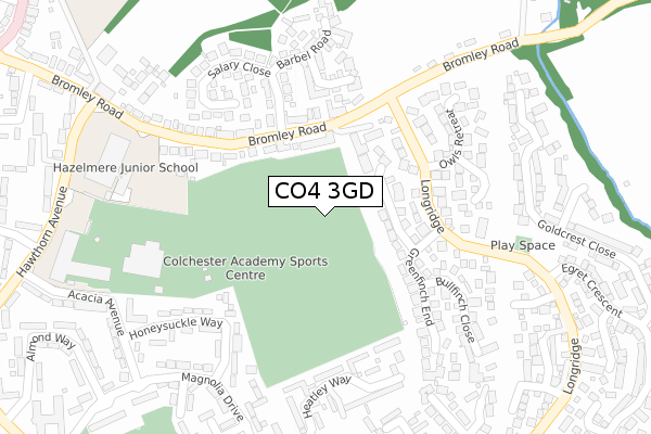
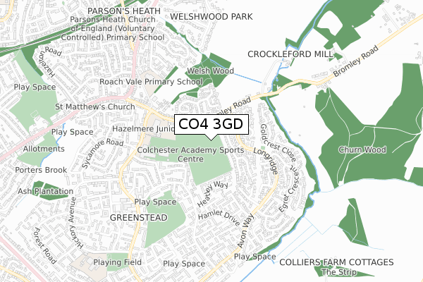
CO4 3GD is located in the Wivenhoe electoral ward, within the local authority district of Colchester and the English Parliamentary constituency of Colchester. The Sub Integrated Care Board (ICB) Location is NHS Suffolk and North East Essex ICB - 06T and the police force is Essex. This postcode has been in use since July 2019.


GetTheData
Source: OS Open Zoomstack (Ordnance Survey)
Licence: Open Government Licence (requires attribution)
Attribution: Contains OS data © Crown copyright and database right 2025
Source: Open Postcode Geo
Licence: Open Government Licence (requires attribution)
Attribution: Contains OS data © Crown copyright and database right 2025; Contains Royal Mail data © Royal Mail copyright and database right 2025; Source: Office for National Statistics licensed under the Open Government Licence v.3.0
| Easting | 602208 |
| Northing | 224420 |
| Latitude | 51.881674 |
| Longitude | 0.936570 |
GetTheData
Source: Open Postcode Geo
Licence: Open Government Licence
| Country | England |
| Postcode District | CO4 |
➜ See where CO4 is on a map ➜ Where is Colchester? | |
GetTheData
Source: Land Registry Price Paid Data
Licence: Open Government Licence
| Ward | Wivenhoe |
| Constituency | Colchester |
GetTheData
Source: ONS Postcode Database
Licence: Open Government Licence
| Knowledge Gateway (Boundary Road) | University Of Essex | 236m |
| Knowledge Gateway (Boundary Road) | University Of Essex | 271m |
| Mascot Square (Elmstead Road) | Colchester | 277m |
| Mascot Square (Elmstead Road) | Colchester | 298m |
| Clingoe Hill (St. Andrew's Avenue) | Colchester | 308m |
| Hythe (Essex) Station | 0.8km |
| Colchester Town Station | 2.3km |
| Wivenhoe Station | 3.1km |
GetTheData
Source: NaPTAN
Licence: Open Government Licence
GetTheData
Source: ONS Postcode Database
Licence: Open Government Licence


➜ Get more ratings from the Food Standards Agency
GetTheData
Source: Food Standards Agency
Licence: FSA terms & conditions
| Last Collection | |||
|---|---|---|---|
| Location | Mon-Fri | Sat | Distance |
| Elmstead Road | 17:30 | 12:10 | 304m |
| Whitehall Road | 714m | ||
| Whitehall Road | 18:15 | 11:30 | 722m |
GetTheData
Source: Dracos
Licence: Creative Commons Attribution-ShareAlike
The below table lists the International Territorial Level (ITL) codes (formerly Nomenclature of Territorial Units for Statistics (NUTS) codes) and Local Administrative Units (LAU) codes for CO4 3GD:
| ITL 1 Code | Name |
|---|---|
| TLH | East |
| ITL 2 Code | Name |
| TLH3 | Essex |
| ITL 3 Code | Name |
| TLH34 | Essex Haven Gateway |
| LAU 1 Code | Name |
| E07000071 | Colchester |
GetTheData
Source: ONS Postcode Directory
Licence: Open Government Licence
The below table lists the Census Output Area (OA), Lower Layer Super Output Area (LSOA), and Middle Layer Super Output Area (MSOA) for CO4 3GD:
| Code | Name | |
|---|---|---|
| OA | E00176420 | |
| LSOA | E01033722 | Colchester 008H |
| MSOA | E02004513 | Colchester 008 |
GetTheData
Source: ONS Postcode Directory
Licence: Open Government Licence
| CO4 3AD | Elmstead Road | 84m |
| CO4 3AB | Elmstead Road | 150m |
| CO4 3BL | Swan Close | 150m |
| CO4 3UN | Britten Close | 195m |
| CO4 3GG | Triumph Close | 208m |
| CO4 3GA | Mascot Square | 214m |
| CO4 3UL | Sullivan Close | 219m |
| CO4 3AA | Elmstead Road | 242m |
| CO4 3YU | Woodcock Close | 278m |
| CO4 3GH | Capstan Place | 281m |
GetTheData
Source: Open Postcode Geo; Land Registry Price Paid Data
Licence: Open Government Licence