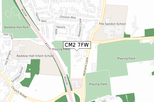
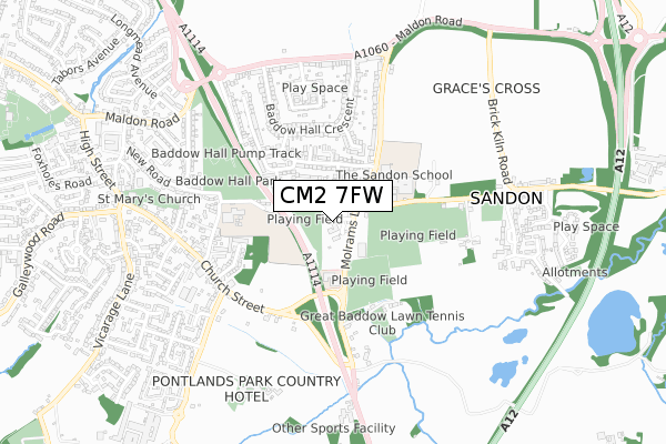
CM2 7FW is located in the Great Baddow East electoral ward, within the local authority district of Chelmsford and the English Parliamentary constituency of Chelmsford. The Sub Integrated Care Board (ICB) Location is NHS Mid and South Essex ICB - 06Q and the police force is Essex. This postcode has been in use since October 2019.


GetTheData
Source: OS Open Zoomstack (Ordnance Survey)
Licence: Open Government Licence (requires attribution)
Attribution: Contains OS data © Crown copyright and database right 2024
Source: Open Postcode Geo
Licence: Open Government Licence (requires attribution)
Attribution: Contains OS data © Crown copyright and database right 2024; Contains Royal Mail data © Royal Mail copyright and database right 2024; Source: Office for National Statistics licensed under the Open Government Licence v.3.0
| Easting | 573704 |
| Northing | 204745 |
| Latitude | 51.714544 |
| Longitude | 0.513041 |
GetTheData
Source: Open Postcode Geo
Licence: Open Government Licence
| Country | England |
| Postcode District | CM2 |
➜ See where CM2 is on a map ➜ Where is Chelmsford? | |
GetTheData
Source: Land Registry Price Paid Data
Licence: Open Government Licence
| Ward | Great Baddow East |
| Constituency | Chelmsford |
GetTheData
Source: ONS Postcode Database
Licence: Open Government Licence
| Woodhill Road (Molrams Lane) | Sandon | 69m |
| Woodhill Road (Molrams Lane) | Sandon | 82m |
| School (Woodhill Road) | Sandon | 136m |
| School (Woodhill Road) | Sandon | 150m |
| Pitt Cottage (Church Street) | Great Baddow | 391m |
| Chelmsford Station | 3.9km |
GetTheData
Source: NaPTAN
Licence: Open Government Licence
GetTheData
Source: ONS Postcode Database
Licence: Open Government Licence


➜ Get more ratings from the Food Standards Agency
GetTheData
Source: Food Standards Agency
Licence: FSA terms & conditions
| Last Collection | |||
|---|---|---|---|
| Location | Mon-Fri | Sat | Distance |
| Beehive Lane | 17:50 | 11:45 | 235m |
| Molrams Lane | 17:45 | 11:30 | 307m |
| Private Road | 16:00 | 12:00 | 357m |
GetTheData
Source: Dracos
Licence: Creative Commons Attribution-ShareAlike
The below table lists the International Territorial Level (ITL) codes (formerly Nomenclature of Territorial Units for Statistics (NUTS) codes) and Local Administrative Units (LAU) codes for CM2 7FW:
| ITL 1 Code | Name |
|---|---|
| TLH | East |
| ITL 2 Code | Name |
| TLH3 | Essex |
| ITL 3 Code | Name |
| TLH36 | Heart of Essex |
| LAU 1 Code | Name |
| E07000070 | Chelmsford |
GetTheData
Source: ONS Postcode Directory
Licence: Open Government Licence
The below table lists the Census Output Area (OA), Lower Layer Super Output Area (LSOA), and Middle Layer Super Output Area (MSOA) for CM2 7FW:
| Code | Name | |
|---|---|---|
| OA | E00109546 | |
| LSOA | E01021561 | Chelmsford 013C |
| MSOA | E02004497 | Chelmsford 013 |
GetTheData
Source: ONS Postcode Directory
Licence: Open Government Licence
| CM2 7FJ | Molrams Lane | 70m |
| CM2 7BA | Newport Close | 117m |
| CM2 7BB | Newport Close | 133m |
| CM2 7AL | Molrams Lane | 169m |
| CM2 7PP | Isaac Square | 174m |
| CM2 7AW | Gilmore Way | 214m |
| CM2 7TL | Molrams Lane | 215m |
| CM2 7AX | Barrington Close | 233m |
| CM2 7AN | Gilmore Way | 236m |
| CM2 7AR | Stuart Close | 264m |
GetTheData
Source: Open Postcode Geo; Land Registry Price Paid Data
Licence: Open Government Licence