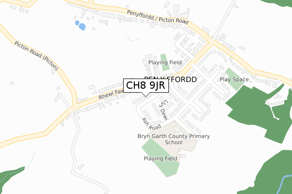
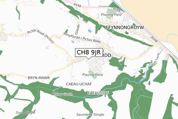
CH8 9JR is located in the Llanasa and Trelawnyd electoral ward, within the unitary authority of Flintshire and the Welsh Parliamentary constituency of Delyn. The Local Health Board is Betsi Cadwaladr University and the police force is North Wales. This postcode has been in use since September 2019.


GetTheData
Source: OS Open Zoomstack (Ordnance Survey)
Licence: Open Government Licence (requires attribution)
Attribution: Contains OS data © Crown copyright and database right 2025
Source: Open Postcode Geo
Licence: Open Government Licence (requires attribution)
Attribution: Contains OS data © Crown copyright and database right 2025; Contains Royal Mail data © Royal Mail copyright and database right 2025; Source: Office for National Statistics licensed under the Open Government Licence v.3.0
| Easting | 313077 |
| Northing | 381809 |
| Latitude | 53.326052 |
| Longitude | -3.306533 |
GetTheData
Source: Open Postcode Geo
Licence: Open Government Licence
| Country | Wales |
| Postcode District | CH8 |
➜ See where CH8 is on a map ➜ Where is Pen-y-ffordd? | |
GetTheData
Source: Land Registry Price Paid Data
Licence: Open Government Licence
| Ward | Llanasa And Trelawnyd |
| Constituency | Delyn |
GetTheData
Source: ONS Postcode Database
Licence: Open Government Licence
| Maes Emlyn (Rhewl Fawr Road) | Pen-y-ffordd | 196m |
| Maes Emlyn (Rhewl Fawr Road) | Pen-y-ffordd | 203m |
| Bryn Garth Playground (Picton Road) | Pen-y-ffordd | 352m |
| Bryn Garth Playground (Picton Road) | Pen-y-ffordd | 358m |
| Railway Inn (Edwards Terrace) | Ffynnongroyw | 659m |
GetTheData
Source: NaPTAN
Licence: Open Government Licence
GetTheData
Source: ONS Postcode Database
Licence: Open Government Licence


➜ Get more ratings from the Food Standards Agency
GetTheData
Source: Food Standards Agency
Licence: FSA terms & conditions
| Last Collection | |||
|---|---|---|---|
| Location | Mon-Fri | Sat | Distance |
| Rhewl Post Office | 16:30 | 10:30 | 2,984m |
| Penrallt | 11:00 | 11:00 | 3,000m |
| Wirral View | 10:30 | 10:30 | 3,234m |
GetTheData
Source: Dracos
Licence: Creative Commons Attribution-ShareAlike
The below table lists the International Territorial Level (ITL) codes (formerly Nomenclature of Territorial Units for Statistics (NUTS) codes) and Local Administrative Units (LAU) codes for CH8 9JR:
| ITL 1 Code | Name |
|---|---|
| TLL | Wales |
| ITL 2 Code | Name |
| TLL2 | East Wales |
| ITL 3 Code | Name |
| TLL23 | Flintshire and Wrexham |
| LAU 1 Code | Name |
| W06000005 | Flintshire |
GetTheData
Source: ONS Postcode Directory
Licence: Open Government Licence
The below table lists the Census Output Area (OA), Lower Layer Super Output Area (LSOA), and Middle Layer Super Output Area (MSOA) for CH8 9JR:
| Code | Name | |
|---|---|---|
| OA | W00001535 | |
| LSOA | W01000287 | Flintshire 001A |
| MSOA | W02000058 | Flintshire 001 |
GetTheData
Source: ONS Postcode Directory
Licence: Open Government Licence
| CH8 9HZ | Jones Terrace | 60m |
| CH8 9LA | Llys Dewi | 81m |
| CH8 9HJ | Rhewl Fawr Road | 85m |
| CH8 9HY | Coed Mor | 103m |
| CH8 9JE | Rhewl Fawr Road | 104m |
| CH8 9JA | Maes Emlyn | 162m |
| CH8 9HQ | Bryn Garth | 221m |
| CH8 9HL | Bryn Mor | 253m |
| CH8 9HG | Bryn Garth | 260m |
| CH8 9HR | Picton Road | 272m |
GetTheData
Source: Open Postcode Geo; Land Registry Price Paid Data
Licence: Open Government Licence