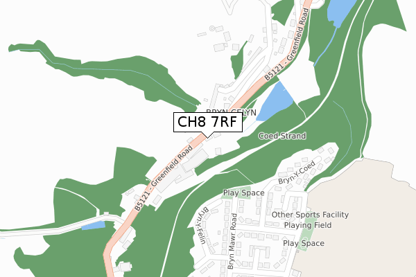
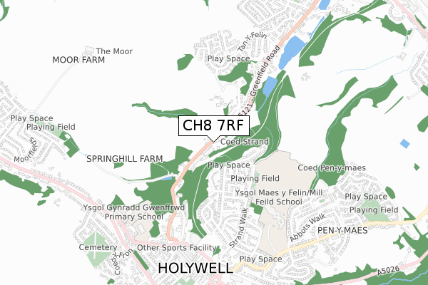
CH8 7RF is located in the Greenfield electoral ward, within the unitary authority of Flintshire and the Welsh Parliamentary constituency of Delyn. The Local Health Board is Betsi Cadwaladr University and the police force is North Wales. This postcode has been in use since January 2018.


GetTheData
Source: OS Open Zoomstack (Ordnance Survey)
Licence: Open Government Licence (requires attribution)
Attribution: Contains OS data © Crown copyright and database right 2025
Source: Open Postcode Geo
Licence: Open Government Licence (requires attribution)
Attribution: Contains OS data © Crown copyright and database right 2025; Contains Royal Mail data © Royal Mail copyright and database right 2025; Source: Office for National Statistics licensed under the Open Government Licence v.3.0
| Easting | 318733 |
| Northing | 376585 |
| Latitude | 53.280005 |
| Longitude | -3.220297 |
GetTheData
Source: Open Postcode Geo
Licence: Open Government Licence
| Country | Wales |
| Postcode District | CH8 |
➜ See where CH8 is on a map ➜ Where is Holywell? | |
GetTheData
Source: Land Registry Price Paid Data
Licence: Open Government Licence
| Ward | Greenfield |
| Constituency | Delyn |
GetTheData
Source: ONS Postcode Database
Licence: Open Government Licence
| Royal Oak (Greenfield Road) | Bryn Celyn | 109m |
| Royal Oak (Greenfield Road) | Bryn Celyn | 112m |
| Wat`s Dyke Avenue | Holywell | 244m |
| Wat`s Dyke Avenue | Holywell | 261m |
| St James` Church (Greenfield Street) | Holywell | 313m |
GetTheData
Source: NaPTAN
Licence: Open Government Licence
GetTheData
Source: ONS Postcode Database
Licence: Open Government Licence


➜ Get more ratings from the Food Standards Agency
GetTheData
Source: Food Standards Agency
Licence: FSA terms & conditions
| Last Collection | |||
|---|---|---|---|
| Location | Mon-Fri | Sat | Distance |
| High Street Box | 17:30 | 11:30 | 666m |
| Holywell Post Office | 17:30 | 11:30 | 779m |
| Pantasaph | 09:00 | 08:30 | 781m |
GetTheData
Source: Dracos
Licence: Creative Commons Attribution-ShareAlike
The below table lists the International Territorial Level (ITL) codes (formerly Nomenclature of Territorial Units for Statistics (NUTS) codes) and Local Administrative Units (LAU) codes for CH8 7RF:
| ITL 1 Code | Name |
|---|---|
| TLL | Wales |
| ITL 2 Code | Name |
| TLL2 | East Wales |
| ITL 3 Code | Name |
| TLL23 | Flintshire and Wrexham |
| LAU 1 Code | Name |
| W06000005 | Flintshire |
GetTheData
Source: ONS Postcode Directory
Licence: Open Government Licence
The below table lists the Census Output Area (OA), Lower Layer Super Output Area (LSOA), and Middle Layer Super Output Area (MSOA) for CH8 7RF:
| Code | Name | |
|---|---|---|
| OA | W00001583 | |
| LSOA | W01000296 | Flintshire 003C |
| MSOA | W02000060 | Flintshire 003 |
GetTheData
Source: ONS Postcode Directory
Licence: Open Government Licence
| CH8 7PZ | Greenfield Road | 29m |
| CH8 7PY | Sycamore Villas | 52m |
| CH8 7QD | Strand View | 89m |
| CH8 7QE | Spring Bank | 94m |
| CH8 7QF | 229m | |
| CH8 7AJ | Bryn Y Felin | 247m |
| CH8 7AU | Bryn Y Coed | 253m |
| CH8 7AS | Wats Dyke Avenue | 269m |
| CH8 7AP | Bryn Mawr Road | 282m |
| CH8 7AL | Strand Close | 295m |
GetTheData
Source: Open Postcode Geo; Land Registry Price Paid Data
Licence: Open Government Licence