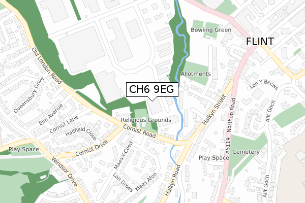
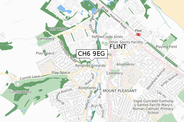
CH6 9EG is located in the Flint: Coleshill and Trelawny electoral ward, within the unitary authority of Flintshire and the Welsh Parliamentary constituency of Delyn. The Local Health Board is Betsi Cadwaladr University and the police force is North Wales. This postcode has been in use since January 2019.


GetTheData
Source: OS Open Zoomstack (Ordnance Survey)
Licence: Open Government Licence (requires attribution)
Attribution: Contains OS data © Crown copyright and database right 2025
Source: Open Postcode Geo
Licence: Open Government Licence (requires attribution)
Attribution: Contains OS data © Crown copyright and database right 2025; Contains Royal Mail data © Royal Mail copyright and database right 2025; Source: Office for National Statistics licensed under the Open Government Licence v.3.0
| Easting | 323909 |
| Northing | 372767 |
| Latitude | 53.246462 |
| Longitude | -3.141769 |
GetTheData
Source: Open Postcode Geo
Licence: Open Government Licence
| Country | Wales |
| Postcode District | CH6 |
➜ See where CH6 is on a map ➜ Where is Flint? | |
GetTheData
Source: Land Registry Price Paid Data
Licence: Open Government Licence
| Ward | Flint: Coleshill And Trelawny |
| Constituency | Delyn |
GetTheData
Source: ONS Postcode Database
Licence: Open Government Licence
| Flint Cottage Hospital (Cornist Road) | Mount Pleasant | 138m |
| Cilfan (Maes Afon) | Mount Pleasant | 168m |
| High Meadow Court (Old London Road) | Mount Pleasant | 308m |
| Cemetery (Northop Road) | Flint | 323m |
| Cemetery (Northop Road) | Flint | 331m |
| Flint Station | 0.7km |
GetTheData
Source: NaPTAN
Licence: Open Government Licence
GetTheData
Source: ONS Postcode Database
Licence: Open Government Licence


➜ Get more ratings from the Food Standards Agency
GetTheData
Source: Food Standards Agency
Licence: FSA terms & conditions
| Last Collection | |||
|---|---|---|---|
| Location | Mon-Fri | Sat | Distance |
| Flint Delivery Office | 17:45 | 12:30 | 180m |
| Halkyn Street | 16:17 | 07:00 | 251m |
| Old London Road | 16:45 | 07:00 | 283m |
GetTheData
Source: Dracos
Licence: Creative Commons Attribution-ShareAlike
The below table lists the International Territorial Level (ITL) codes (formerly Nomenclature of Territorial Units for Statistics (NUTS) codes) and Local Administrative Units (LAU) codes for CH6 9EG:
| ITL 1 Code | Name |
|---|---|
| TLL | Wales |
| ITL 2 Code | Name |
| TLL2 | East Wales |
| ITL 3 Code | Name |
| TLL23 | Flintshire and Wrexham |
| LAU 1 Code | Name |
| W06000005 | Flintshire |
GetTheData
Source: ONS Postcode Directory
Licence: Open Government Licence
The below table lists the Census Output Area (OA), Lower Layer Super Output Area (LSOA), and Middle Layer Super Output Area (MSOA) for CH6 9EG:
| Code | Name | |
|---|---|---|
| OA | W00001552 | |
| LSOA | W01000290 | Flintshire 004B |
| MSOA | W02000061 | Flintshire 004 |
GetTheData
Source: ONS Postcode Directory
Licence: Open Government Licence
| CH6 5HG | Cornist Road | 89m |
| CH6 5HX | The Meadows | 146m |
| CH6 5HZ | Halkyn Street | 195m |
| CH6 5HS | Hafod | 211m |
| CH6 5HY | Halkyn Street | 212m |
| CH6 5HB | Swinchiard Walk | 227m |
| CH6 5HW | Maes Glas | 261m |
| CH6 5HJ | Cornist Drive | 265m |
| CH6 5HP | Lon Groes | 268m |
| CH6 5HL | Hallfield Close | 276m |
GetTheData
Source: Open Postcode Geo; Land Registry Price Paid Data
Licence: Open Government Licence