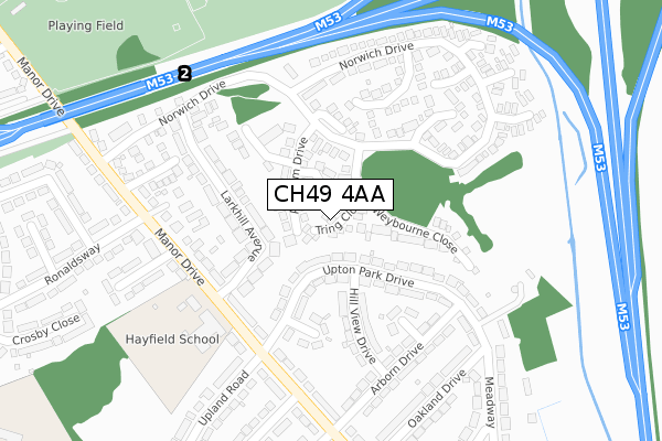
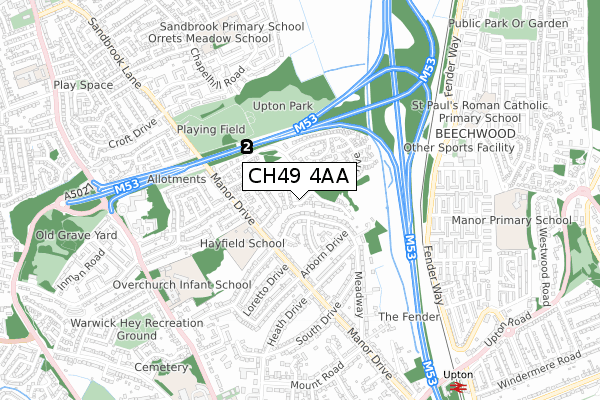
CH49 4AA is located in the Moreton West and Saughall Massie electoral ward, within the metropolitan district of Wirral and the English Parliamentary constituency of Wallasey. The Sub Integrated Care Board (ICB) Location is NHS Cheshire and Merseyside ICB - 12F and the police force is Merseyside. This postcode has been in use since April 2020.


GetTheData
Source: OS Open Zoomstack (Ordnance Survey)
Licence: Open Government Licence (requires attribution)
Attribution: Contains OS data © Crown copyright and database right 2024
Source: Open Postcode Geo
Licence: Open Government Licence (requires attribution)
Attribution: Contains OS data © Crown copyright and database right 2024; Contains Royal Mail data © Royal Mail copyright and database right 2024; Source: Office for National Statistics licensed under the Open Government Licence v.3.0
| Easting | 325692 |
| Northing | 388394 |
| Latitude | 53.387155 |
| Longitude | -3.118720 |
GetTheData
Source: Open Postcode Geo
Licence: Open Government Licence
| Country | England |
| Postcode District | CH49 |
➜ See where CH49 is on a map ➜ Where is Birkenhead? | |
GetTheData
Source: Land Registry Price Paid Data
Licence: Open Government Licence
| Ward | Moreton West And Saughall Massie |
| Constituency | Wallasey |
GetTheData
Source: ONS Postcode Database
Licence: Open Government Licence
| Kingfisher Way (Saughall Massie Road) | Upton | 113m |
| Kingfisher Way (Saughall Massie Road) | Upton | 129m |
| Brookside Crescent (Saughall Massie Road) | Saughall Massie | 298m |
| Brookside Crescent (Saughall Massie Road) | Saughall Massie | 366m |
| Overchurch Road (Saughall Massie Road) | Upton | 370m |
| Moreton (Merseyside) Station | 2.3km |
| Upton Station | 2.3km |
| Leasowe Station | 2.7km |
GetTheData
Source: NaPTAN
Licence: Open Government Licence
GetTheData
Source: ONS Postcode Database
Licence: Open Government Licence


➜ Get more ratings from the Food Standards Agency
GetTheData
Source: Food Standards Agency
Licence: FSA terms & conditions
| Last Collection | |||
|---|---|---|---|
| Location | Mon-Fri | Sat | Distance |
| Greasby Post Office | 17:15 | 12:00 | 1,115m |
| Yew Tree Post Office | 17:15 | 12:00 | 1,315m |
| Sandbrook Lane | 17:30 | 12:00 | 1,516m |
GetTheData
Source: Dracos
Licence: Creative Commons Attribution-ShareAlike
The below table lists the International Territorial Level (ITL) codes (formerly Nomenclature of Territorial Units for Statistics (NUTS) codes) and Local Administrative Units (LAU) codes for CH49 4AA:
| ITL 1 Code | Name |
|---|---|
| TLD | North West (England) |
| ITL 2 Code | Name |
| TLD7 | Merseyside |
| ITL 3 Code | Name |
| TLD74 | Wirral |
| LAU 1 Code | Name |
| E08000015 | Wirral |
GetTheData
Source: ONS Postcode Directory
Licence: Open Government Licence
The below table lists the Census Output Area (OA), Lower Layer Super Output Area (LSOA), and Middle Layer Super Output Area (MSOA) for CH49 4AA:
| Code | Name | |
|---|---|---|
| OA | E00036983 | |
| LSOA | E01007299 | Wirral 017D |
| MSOA | E02001483 | Wirral 017 |
GetTheData
Source: ONS Postcode Directory
Licence: Open Government Licence
| CH49 4GQ | Headington Road | 71m |
| CH49 4QQ | Wellbrae Close | 99m |
| CH49 4LB | Saughall Massie Road | 112m |
| CH49 4QG | Girtrell Close | 124m |
| CH49 4GT | Binsey Close | 126m |
| CH49 4GP | Iffley Close | 127m |
| CH49 4GH | Botley Close | 133m |
| CH49 4GG | Headington Road | 135m |
| CH49 4GS | Littlemore Close | 159m |
| CH49 4RE | Hawksmore Close | 166m |
GetTheData
Source: Open Postcode Geo; Land Registry Price Paid Data
Licence: Open Government Licence