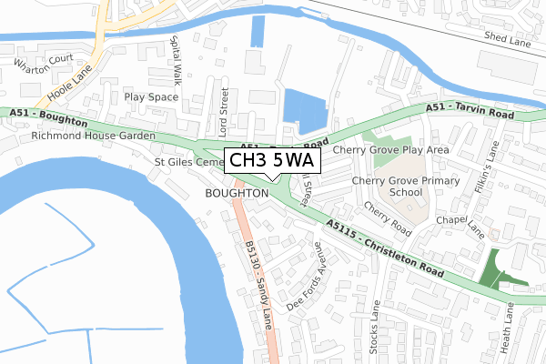
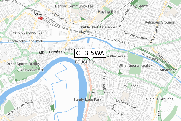
CH3 5WA is located in the Chester City & the Garden Quarter electoral ward, within the unitary authority of Cheshire West and Chester and the English Parliamentary constituency of City of Chester. The Sub Integrated Care Board (ICB) Location is NHS Cheshire and Merseyside ICB - 27D and the police force is Cheshire. This postcode has been in use since February 2019.


GetTheData
Source: OS Open Zoomstack (Ordnance Survey)
Licence: Open Government Licence (requires attribution)
Attribution: Contains OS data © Crown copyright and database right 2024
Source: Open Postcode Geo
Licence: Open Government Licence (requires attribution)
Attribution: Contains OS data © Crown copyright and database right 2024; Contains Royal Mail data © Royal Mail copyright and database right 2024; Source: Office for National Statistics licensed under the Open Government Licence v.3.0
| Easting | 342021 |
| Northing | 366385 |
| Latitude | 53.191392 |
| Longitude | -2.869219 |
GetTheData
Source: Open Postcode Geo
Licence: Open Government Licence
| Country | England |
| Postcode District | CH3 |
➜ See where CH3 is on a map ➜ Where is Chester? | |
GetTheData
Source: Land Registry Price Paid Data
Licence: Open Government Licence
| Ward | Chester City & The Garden Quarter |
| Constituency | City Of Chester |
GetTheData
Source: ONS Postcode Database
Licence: Open Government Licence
| Cecil Street (Christleton Road) | Boughton | 93m |
| Ingham Close (Christleton Road) | Boughton | 104m |
| Cotswald Court (Sandy Lane) | Boughton | 140m |
| Mortlake Crescent (Sandy Lane) | Boughton | 165m |
| St Paul's Church (Boughton) | Boughton | 172m |
| Chester Station | 0.9km |
| Bache Station | 2.4km |
GetTheData
Source: NaPTAN
Licence: Open Government Licence
GetTheData
Source: ONS Postcode Database
Licence: Open Government Licence


➜ Get more ratings from the Food Standards Agency
GetTheData
Source: Food Standards Agency
Licence: FSA terms & conditions
| Last Collection | |||
|---|---|---|---|
| Location | Mon-Fri | Sat | Distance |
| Boughton Straight. | 16:00 | 12:30 | 137m |
| Brook Street | 17:45 | 12:45 | 609m |
| Canadian Avenue, Hoole. | 16:30 | 13:00 | 825m |
GetTheData
Source: Dracos
Licence: Creative Commons Attribution-ShareAlike
The below table lists the International Territorial Level (ITL) codes (formerly Nomenclature of Territorial Units for Statistics (NUTS) codes) and Local Administrative Units (LAU) codes for CH3 5WA:
| ITL 1 Code | Name |
|---|---|
| TLD | North West (England) |
| ITL 2 Code | Name |
| TLD6 | Cheshire |
| ITL 3 Code | Name |
| TLD63 | Cheshire West and Chester |
| LAU 1 Code | Name |
| E06000050 | Cheshire West and Chester |
GetTheData
Source: ONS Postcode Directory
Licence: Open Government Licence
The below table lists the Census Output Area (OA), Lower Layer Super Output Area (LSOA), and Middle Layer Super Output Area (MSOA) for CH3 5WA:
| Code | Name | |
|---|---|---|
| OA | E00092384 | |
| LSOA | E01018319 | Cheshire West and Chester 036A |
| MSOA | E02003804 | Cheshire West and Chester 036 |
GetTheData
Source: ONS Postcode Directory
Licence: Open Government Licence
| CH3 5DP | Cecil Street | 54m |
| CH3 5UZ | Sandy Lane | 82m |
| CH3 5UF | Christleton Road | 83m |
| CH3 5UG | Christleton Road | 84m |
| CH3 5DH | Tarvin Road | 92m |
| CH3 5DJ | Tarvin Road | 95m |
| CH3 5DW | Bulkeley Street | 102m |
| CH3 5DS | North Street | 114m |
| CH3 5UD | The Mount | 120m |
| CH3 5DR | South Street | 120m |
GetTheData
Source: Open Postcode Geo; Land Registry Price Paid Data
Licence: Open Government Licence