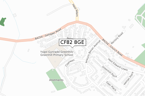
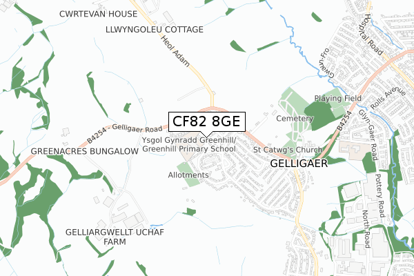
CF82 8GE is located in the St Cattwg electoral ward, within the unitary authority of Caerphilly and the Welsh Parliamentary constituency of Caerphilly. The Local Health Board is Aneurin Bevan University and the police force is Gwent. This postcode has been in use since October 2019.


GetTheData
Source: OS Open Zoomstack (Ordnance Survey)
Licence: Open Government Licence (requires attribution)
Attribution: Contains OS data © Crown copyright and database right 2025
Source: Open Postcode Geo
Licence: Open Government Licence (requires attribution)
Attribution: Contains OS data © Crown copyright and database right 2025; Contains Royal Mail data © Royal Mail copyright and database right 2025; Source: Office for National Statistics licensed under the Open Government Licence v.3.0
| Easting | 313043 |
| Northing | 197037 |
| Latitude | 51.665361 |
| Longitude | -3.258703 |
GetTheData
Source: Open Postcode Geo
Licence: Open Government Licence
| Country | Wales |
| Postcode District | CF82 |
➜ See where CF82 is on a map ➜ Where is Gelligaer? | |
GetTheData
Source: Land Registry Price Paid Data
Licence: Open Government Licence
| Ward | St Cattwg |
| Constituency | Caerphilly |
GetTheData
Source: ONS Postcode Database
Licence: Open Government Licence
| Community Centre (Aneurin Bevan Avenue) | Gelligaer | 127m |
| Penywrlod (Aneurin Bevan Avenue) | Gelligaer | 130m |
| Cross Inn (Gelligaer Road) | Gelligaer | 168m |
| Community Centre (Aneurin Bevan Avenue) | Gelligaer | 181m |
| Cross Inn (Gelligaer Road) | Gelligaer | 197m |
| Pengam Station | 2.1km |
| Ystrad Mynach Station | 3km |
| Gilfach Fargoed Station | 3.1km |
GetTheData
Source: NaPTAN
Licence: Open Government Licence
GetTheData
Source: ONS Postcode Database
Licence: Open Government Licence


➜ Get more ratings from the Food Standards Agency
GetTheData
Source: Food Standards Agency
Licence: FSA terms & conditions
| Last Collection | |||
|---|---|---|---|
| Location | Mon-Fri | Sat | Distance |
| Glanynant Post Office | 16:15 | 11:00 | 2,152m |
| Fleur De Lys Village | 16:00 | 11:00 | 2,366m |
| Fleur De Lys Post Office | 17:00 | 12:00 | 2,579m |
GetTheData
Source: Dracos
Licence: Creative Commons Attribution-ShareAlike
The below table lists the International Territorial Level (ITL) codes (formerly Nomenclature of Territorial Units for Statistics (NUTS) codes) and Local Administrative Units (LAU) codes for CF82 8GE:
| ITL 1 Code | Name |
|---|---|
| TLL | Wales |
| ITL 2 Code | Name |
| TLL1 | West Wales and The Valleys |
| ITL 3 Code | Name |
| TLL16 | Gwent Valleys |
| LAU 1 Code | Name |
| W06000018 | Caerphilly |
GetTheData
Source: ONS Postcode Directory
Licence: Open Government Licence
The below table lists the Census Output Area (OA), Lower Layer Super Output Area (LSOA), and Middle Layer Super Output Area (MSOA) for CF82 8GE:
| Code | Name | |
|---|---|---|
| OA | W00007412 | |
| LSOA | W01001414 | Caerphilly 008A |
| MSOA | W02000297 | Caerphilly 008 |
GetTheData
Source: ONS Postcode Directory
Licence: Open Government Licence
| CF82 8EU | Penywrlod | 70m |
| CF82 8DU | Hadrians Close | 111m |
| CF82 8DW | Roman Ridge | 113m |
| CF82 8EY | Claerwen | 113m |
| CF82 8DT | Julians Close | 124m |
| CF82 8ET | Aneurin Bevan Avenue | 141m |
| CF82 8DX | Legions Way | 183m |
| CF82 8EX | Claerwen | 187m |
| CF82 8EJ | Heol Edward Lewis | 198m |
| CF82 8ES | Aneurin Bevan Avenue | 235m |
GetTheData
Source: Open Postcode Geo; Land Registry Price Paid Data
Licence: Open Government Licence