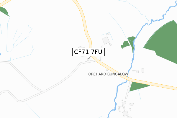
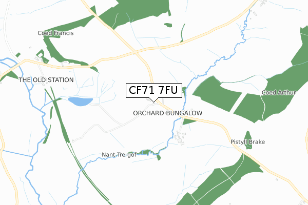
CF71 7FU is located in the Cowbridge electoral ward, within the unitary authority of Vale of Glamorgan and the Welsh Parliamentary constituency of Vale of Glamorgan. The Local Health Board is Cardiff and Vale University and the police force is South Wales. This postcode has been in use since October 2019.


GetTheData
Source: OS Open Zoomstack (Ordnance Survey)
Licence: Open Government Licence (requires attribution)
Attribution: Contains OS data © Crown copyright and database right 2024
Source: Open Postcode Geo
Licence: Open Government Licence (requires attribution)
Attribution: Contains OS data © Crown copyright and database right 2024; Contains Royal Mail data © Royal Mail copyright and database right 2024; Source: Office for National Statistics licensed under the Open Government Licence v.3.0
| Easting | 300667 |
| Northing | 174643 |
| Latitude | 51.462014 |
| Longitude | -3.431254 |
GetTheData
Source: Open Postcode Geo
Licence: Open Government Licence
| Country | Wales |
| Postcode District | CF71 |
➜ See where CF71 is on a map | |
GetTheData
Source: Land Registry Price Paid Data
Licence: Open Government Licence
| Ward | Cowbridge |
| Constituency | Vale Of Glamorgan |
GetTheData
Source: ONS Postcode Database
Licence: Open Government Licence
| Aberthin Lane (Primrose Hill) | Primrose Hill | 425m |
| Primrose Hill | Cowbridge | 456m |
| Farmers Arms (Cowbridge Road) | Cowbridge | 573m |
| Farmers Arms (Cowbridge Road) | Cowbridge | 583m |
| Comprehensive School (Aberthin Road) | Cowbridge | 596m |
GetTheData
Source: NaPTAN
Licence: Open Government Licence
GetTheData
Source: ONS Postcode Database
Licence: Open Government Licence


➜ Get more ratings from the Food Standards Agency
GetTheData
Source: Food Standards Agency
Licence: FSA terms & conditions
| Last Collection | |||
|---|---|---|---|
| Location | Mon-Fri | Sat | Distance |
| Broadway | 16:45 | 11:15 | 1,493m |
| Bowmans Well | 16:30 | 11:15 | 2,027m |
| Llanblethain Hill | 16:15 | 11:15 | 2,383m |
GetTheData
Source: Dracos
Licence: Creative Commons Attribution-ShareAlike
The below table lists the International Territorial Level (ITL) codes (formerly Nomenclature of Territorial Units for Statistics (NUTS) codes) and Local Administrative Units (LAU) codes for CF71 7FU:
| ITL 1 Code | Name |
|---|---|
| TLL | Wales |
| ITL 2 Code | Name |
| TLL2 | East Wales |
| ITL 3 Code | Name |
| TLL22 | Cardiff and Vale of Glamorgan |
| LAU 1 Code | Name |
| W06000014 | Vale of Glamorgan |
GetTheData
Source: ONS Postcode Directory
Licence: Open Government Licence
The below table lists the Census Output Area (OA), Lower Layer Super Output Area (LSOA), and Middle Layer Super Output Area (MSOA) for CF71 7FU:
| Code | Name | |
|---|---|---|
| OA | W00005728 | |
| LSOA | W01001084 | The Vale of Glamorgan 002C |
| MSOA | W02000238 | The Vale of Glamorgan 002 |
GetTheData
Source: ONS Postcode Directory
Licence: Open Government Licence
| CF71 7EN | Aberthin Road | 465m |
| CF71 7DU | Primrose Hill | 479m |
| CF71 7LD | Aberthin Lane | 491m |
| CF71 7HB | Pen Y Lan Road | 507m |
| CF71 7HD | Chapel Close | 530m |
| CF71 7LE | Cowbridge Road | 562m |
| CF71 7ET | New Forest View | 623m |
| CF71 7LG | 648m | |
| CF71 7HA | Maes Lloi | 653m |
| CF71 7EJ | The Paddock | 681m |
GetTheData
Source: Open Postcode Geo; Land Registry Price Paid Data
Licence: Open Government Licence