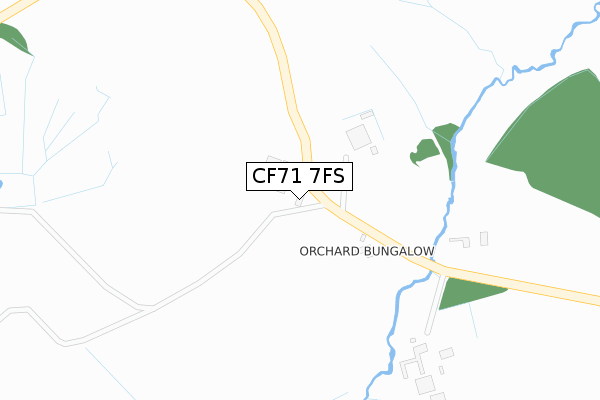
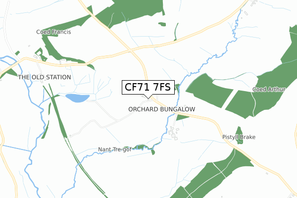
CF71 7FS is located in the St Nicholas and Llancarfan electoral ward, within the unitary authority of Vale of Glamorgan and the Welsh Parliamentary constituency of Vale of Glamorgan. The Local Health Board is Cardiff and Vale University and the police force is South Wales. This postcode has been in use since November 2018.


GetTheData
Source: OS Open Zoomstack (Ordnance Survey)
Licence: Open Government Licence (requires attribution)
Attribution: Contains OS data © Crown copyright and database right 2024
Source: Open Postcode Geo
Licence: Open Government Licence (requires attribution)
Attribution: Contains OS data © Crown copyright and database right 2024; Contains Royal Mail data © Royal Mail copyright and database right 2024; Source: Office for National Statistics licensed under the Open Government Licence v.3.0
| Easting | 302841 |
| Northing | 171370 |
| Latitude | 51.432971 |
| Longitude | -3.399071 |
GetTheData
Source: Open Postcode Geo
Licence: Open Government Licence
| Country | Wales |
| Postcode District | CF71 |
➜ See where CF71 is on a map | |
GetTheData
Source: Land Registry Price Paid Data
Licence: Open Government Licence
| Ward | St Nicholas And Llancarfan |
| Constituency | Vale Of Glamorgan |
GetTheData
Source: ONS Postcode Database
Licence: Open Government Licence
| Treguff Crossroads (Main Road) | Cowbridge | 430m |
| Treguff Crossroads (Main Road) | Cowbridge | 437m |
| Gigman Mill (Main Road) | Flemingston | 1,296m |
| Ty Canol Farm (Main Road) | Tyganol | 1,638m |
| St Michael`s Church (Main Road) | Flemingston | 1,719m |
GetTheData
Source: NaPTAN
Licence: Open Government Licence
| Percentage of properties with Next Generation Access | 100.0% |
| Percentage of properties with Superfast Broadband | 0.0% |
| Percentage of properties with Ultrafast Broadband | 0.0% |
| Percentage of properties with Full Fibre Broadband | 0.0% |
Superfast Broadband is between 30Mbps and 300Mbps
Ultrafast Broadband is > 300Mbps
| Percentage of properties unable to receive 2Mbps | 66.7% |
| Percentage of properties unable to receive 5Mbps | 100.0% |
| Percentage of properties unable to receive 10Mbps | 100.0% |
| Percentage of properties unable to receive 30Mbps | 100.0% |
GetTheData
Source: Ofcom
Licence: Ofcom Terms of Use (requires attribution)
GetTheData
Source: ONS Postcode Database
Licence: Open Government Licence
➜ Get more ratings from the Food Standards Agency
GetTheData
Source: Food Standards Agency
Licence: FSA terms & conditions
| Last Collection | |||
|---|---|---|---|
| Location | Mon-Fri | Sat | Distance |
| Llanblethain Hill | 16:15 | 11:15 | 3,537m |
| Maes Y Ffynon | 18:30 | 10:45 | 4,806m |
| Broadway | 16:45 | 11:15 | 5,000m |
GetTheData
Source: Dracos
Licence: Creative Commons Attribution-ShareAlike
The below table lists the International Territorial Level (ITL) codes (formerly Nomenclature of Territorial Units for Statistics (NUTS) codes) and Local Administrative Units (LAU) codes for CF71 7FS:
| ITL 1 Code | Name |
|---|---|
| TLL | Wales |
| ITL 2 Code | Name |
| TLL2 | East Wales |
| ITL 3 Code | Name |
| TLL22 | Cardiff and Vale of Glamorgan |
| LAU 1 Code | Name |
| W06000014 | Vale of Glamorgan |
GetTheData
Source: ONS Postcode Directory
Licence: Open Government Licence
The below table lists the Census Output Area (OA), Lower Layer Super Output Area (LSOA), and Middle Layer Super Output Area (MSOA) for CF71 7FS:
| Code | Name | |
|---|---|---|
| OA | W00005901 | |
| LSOA | W01001119 | The Vale of Glamorgan 003B |
| MSOA | W02000239 | The Vale of Glamorgan 003 |
GetTheData
Source: ONS Postcode Directory
Licence: Open Government Licence
| CF62 3AE | 1316m | |
| CF71 7UE | Tre Aubrey Cottages | 1376m |
| CF62 4QJ | 1771m | |
| CF62 3AN | 1839m | |
| CF62 3AP | 1846m | |
| CF62 4QH | Cwrt Yr Iolo | 1875m |
| CF71 7UB | 2003m | |
| CF71 7DP | 2166m | |
| CF62 4LA | Ringwood Crescent | 2234m |
| CF71 7DR | 2249m |
GetTheData
Source: Open Postcode Geo; Land Registry Price Paid Data
Licence: Open Government Licence