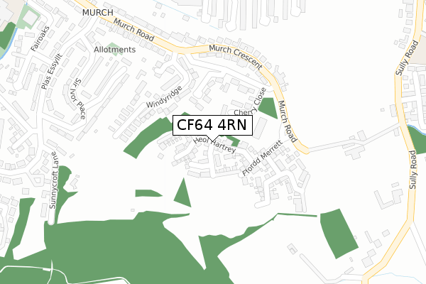
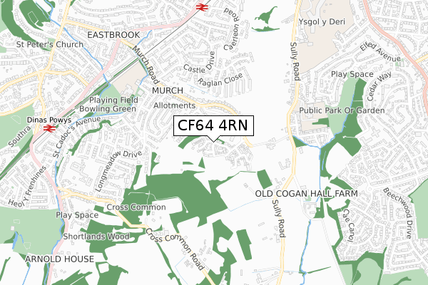
CF64 4RN is located in the Dinas Powys electoral ward, within the unitary authority of Vale of Glamorgan and the Welsh Parliamentary constituency of Vale of Glamorgan. The Local Health Board is Cardiff and Vale University and the police force is South Wales. This postcode has been in use since June 2019.


GetTheData
Source: OS Open Zoomstack (Ordnance Survey)
Licence: Open Government Licence (requires attribution)
Attribution: Contains OS data © Crown copyright and database right 2024
Source: Open Postcode Geo
Licence: Open Government Licence (requires attribution)
Attribution: Contains OS data © Crown copyright and database right 2024; Contains Royal Mail data © Royal Mail copyright and database right 2024; Source: Office for National Statistics licensed under the Open Government Licence v.3.0
| Easting | 316320 |
| Northing | 170848 |
| Latitude | 51.430433 |
| Longitude | -3.205094 |
GetTheData
Source: Open Postcode Geo
Licence: Open Government Licence
| Country | Wales |
| Postcode District | CF64 |
➜ See where CF64 is on a map ➜ Where is Dinas Powis? | |
GetTheData
Source: Land Registry Price Paid Data
Licence: Open Government Licence
| Ward | Dinas Powys |
| Constituency | Vale Of Glamorgan |
GetTheData
Source: ONS Postcode Database
Licence: Open Government Licence
| Sunnycroft Lane (Longmeadow Drive) | Murch | 405m |
| Sunnycroft Lane (Plas Essyllt) | Murch | 412m |
| Post Office (Plas Essyllt) | Murch | 421m |
| Post Office (Plas Essyllt) | Murch | 431m |
| The Malthouse (Murch Road) | Murch | 496m |
| Eastbrook Station | 0.8km |
| Dinas Powys Station | 0.9km |
| Dingle Road Station | 2km |
GetTheData
Source: NaPTAN
Licence: Open Government Licence
| Percentage of properties with Next Generation Access | 100.0% |
| Percentage of properties with Superfast Broadband | 100.0% |
| Percentage of properties with Ultrafast Broadband | 100.0% |
| Percentage of properties with Full Fibre Broadband | 100.0% |
Superfast Broadband is between 30Mbps and 300Mbps
Ultrafast Broadband is > 300Mbps
| Percentage of properties unable to receive 2Mbps | 0.0% |
| Percentage of properties unable to receive 5Mbps | 0.0% |
| Percentage of properties unable to receive 10Mbps | 0.0% |
| Percentage of properties unable to receive 30Mbps | 0.0% |
GetTheData
Source: Ofcom
Licence: Ofcom Terms of Use (requires attribution)
GetTheData
Source: ONS Postcode Database
Licence: Open Government Licence


➜ Get more ratings from the Food Standards Agency
GetTheData
Source: Food Standards Agency
Licence: FSA terms & conditions
| Last Collection | |||
|---|---|---|---|
| Location | Mon-Fri | Sat | Distance |
| Meadowside | 16:00 | 11:00 | 704m |
| Station Dinas Powys | 17:00 | 11:45 | 946m |
| Georges Row | 16:00 | 11:00 | 957m |
GetTheData
Source: Dracos
Licence: Creative Commons Attribution-ShareAlike
The below table lists the International Territorial Level (ITL) codes (formerly Nomenclature of Territorial Units for Statistics (NUTS) codes) and Local Administrative Units (LAU) codes for CF64 4RN:
| ITL 1 Code | Name |
|---|---|
| TLL | Wales |
| ITL 2 Code | Name |
| TLL2 | East Wales |
| ITL 3 Code | Name |
| TLL22 | Cardiff and Vale of Glamorgan |
| LAU 1 Code | Name |
| W06000014 | Vale of Glamorgan |
GetTheData
Source: ONS Postcode Directory
Licence: Open Government Licence
The below table lists the Census Output Area (OA), Lower Layer Super Output Area (LSOA), and Middle Layer Super Output Area (MSOA) for CF64 4RN:
| Code | Name | |
|---|---|---|
| OA | W00005743 | |
| LSOA | W01001088 | The Vale of Glamorgan 006C |
| MSOA | W02000242 | The Vale of Glamorgan 006 |
GetTheData
Source: ONS Postcode Directory
Licence: Open Government Licence
| CF64 4RG | Cherry Close | 152m |
| CF64 4NH | Little Orchard | 163m |
| CF64 4RE | Murch Road | 190m |
| CF64 4AW | Windyridge | 194m |
| CF64 4RF | Murch Crescent | 249m |
| CF64 4RB | Nightingale Place | 272m |
| CF64 4QP | Sunnycroft Lane | 318m |
| CF64 4RA | Sir Ivor Place | 327m |
| CF64 4QZ | Sir Ivor Place | 342m |
| CF64 4PQ | Madoc Close | 346m |
GetTheData
Source: Open Postcode Geo; Land Registry Price Paid Data
Licence: Open Government Licence