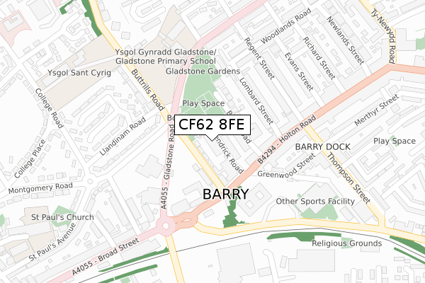
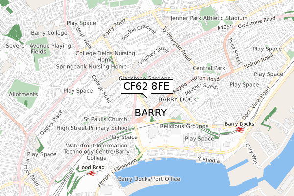
CF62 8FE is located in the Buttrills electoral ward, within the unitary authority of Vale of Glamorgan and the Welsh Parliamentary constituency of Vale of Glamorgan. The Local Health Board is Cardiff and Vale University and the police force is South Wales. This postcode has been in use since October 2019.


GetTheData
Source: OS Open Zoomstack (Ordnance Survey)
Licence: Open Government Licence (requires attribution)
Attribution: Contains OS data © Crown copyright and database right 2024
Source: Open Postcode Geo
Licence: Open Government Licence (requires attribution)
Attribution: Contains OS data © Crown copyright and database right 2024; Contains Royal Mail data © Royal Mail copyright and database right 2024; Source: Office for National Statistics licensed under the Open Government Licence v.3.0
| Easting | 311538 |
| Northing | 168060 |
| Latitude | 51.404642 |
| Longitude | -3.273167 |
GetTheData
Source: Open Postcode Geo
Licence: Open Government Licence
| Country | Wales |
| Postcode District | CF62 |
➜ See where CF62 is on a map ➜ Where is Barry? | |
GetTheData
Source: Land Registry Price Paid Data
Licence: Open Government Licence
| Ward | Buttrills |
| Constituency | Vale Of Glamorgan |
GetTheData
Source: ONS Postcode Database
Licence: Open Government Licence
| Civic Offices (Buttrills Road) | Barry | 76m |
| Civic Offices (Lower Buttrills Road) | Barry | 88m |
| Civic Offices (Broad Street) | Barry | 150m |
| Civic Offices (Broad Street) | Barry | 151m |
| Holton Road (Hholton Road) | Barry | 177m |
| Barry Docks Station | 0.9km |
| Barry Station | 1.2km |
| Barry Island Station | 1.4km |
GetTheData
Source: NaPTAN
Licence: Open Government Licence
GetTheData
Source: ONS Postcode Database
Licence: Open Government Licence


➜ Get more ratings from the Food Standards Agency
GetTheData
Source: Food Standards Agency
Licence: FSA terms & conditions
| Last Collection | |||
|---|---|---|---|
| Location | Mon-Fri | Sat | Distance |
| Ffordd Y Mileniwm | 17:30 | 12:15 | 418m |
| Kings Square Post Office | 18:45 | 12:00 | 616m |
| Colcot Road South | 17:00 | 12:00 | 1,227m |
GetTheData
Source: Dracos
Licence: Creative Commons Attribution-ShareAlike
The below table lists the International Territorial Level (ITL) codes (formerly Nomenclature of Territorial Units for Statistics (NUTS) codes) and Local Administrative Units (LAU) codes for CF62 8FE:
| ITL 1 Code | Name |
|---|---|
| TLL | Wales |
| ITL 2 Code | Name |
| TLL2 | East Wales |
| ITL 3 Code | Name |
| TLL22 | Cardiff and Vale of Glamorgan |
| LAU 1 Code | Name |
| W06000014 | Vale of Glamorgan |
GetTheData
Source: ONS Postcode Directory
Licence: Open Government Licence
The below table lists the Census Output Area (OA), Lower Layer Super Output Area (LSOA), and Middle Layer Super Output Area (MSOA) for CF62 8FE:
| Code | Name | |
|---|---|---|
| OA | W00005641 | |
| LSOA | W01001066 | The Vale of Glamorgan 015D |
| MSOA | W02000251 | The Vale of Glamorgan 015 |
GetTheData
Source: ONS Postcode Directory
Licence: Open Government Licence
| CF62 8DJ | Kendrick Road | 42m |
| CF62 8DL | Beryl Place | 48m |
| CF62 8DD | Buttrills Road | 73m |
| CF62 8DN | Beryl Road | 86m |
| CF63 4HA | Holton Road | 129m |
| CF62 8DP | Lombard Street | 134m |
| CF62 8DQ | Lombard Street | 152m |
| CF62 8NA | Gladstone Road | 156m |
| CF63 4HD | Holton Road | 173m |
| CF62 8DR | Woodlands Court | 182m |
GetTheData
Source: Open Postcode Geo; Land Registry Price Paid Data
Licence: Open Government Licence