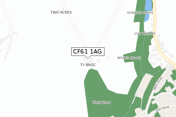
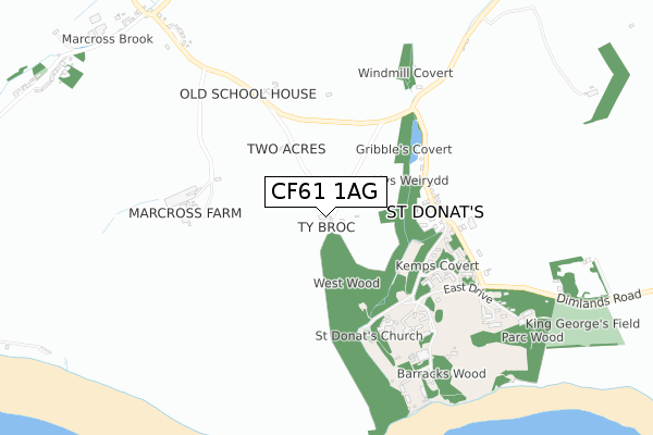
CF61 1AG is located in the St Bride's Major electoral ward, within the unitary authority of Vale of Glamorgan and the Welsh Parliamentary constituency of Vale of Glamorgan. The Local Health Board is Cardiff and Vale University and the police force is South Wales. This postcode has been in use since January 2019.


GetTheData
Source: OS Open Zoomstack (Ordnance Survey)
Licence: Open Government Licence (requires attribution)
Attribution: Contains OS data © Crown copyright and database right 2024
Source: Open Postcode Geo
Licence: Open Government Licence (requires attribution)
Attribution: Contains OS data © Crown copyright and database right 2024; Contains Royal Mail data © Royal Mail copyright and database right 2024; Source: Office for National Statistics licensed under the Open Government Licence v.3.0
| Easting | 293200 |
| Northing | 168520 |
| Latitude | 51.405617 |
| Longitude | -3.536851 |
GetTheData
Source: Open Postcode Geo
Licence: Open Government Licence
| Country | Wales |
| Postcode District | CF61 |
➜ See where CF61 is on a map | |
GetTheData
Source: Land Registry Price Paid Data
Licence: Open Government Licence
| Ward | St Bride's Major |
| Constituency | Vale Of Glamorgan |
GetTheData
Source: ONS Postcode Database
Licence: Open Government Licence
| Atlantic College (St Donat`s Road) | St Donats | 448m |
| St Donats (Unclassified) | St Donats | 505m |
| Atlantic College (St Donat`s Road) | St Donats | 655m |
| Marcross (St Donat`s Road) | Marcroes | 1,082m |
| Marcross (Unclassified) | Marcroes | 1,232m |
| Llantwit Major Station | 3.9km |
GetTheData
Source: NaPTAN
Licence: Open Government Licence
| Percentage of properties with Next Generation Access | 100.0% |
| Percentage of properties with Superfast Broadband | 66.7% |
| Percentage of properties with Ultrafast Broadband | 0.0% |
| Percentage of properties with Full Fibre Broadband | 0.0% |
Superfast Broadband is between 30Mbps and 300Mbps
Ultrafast Broadband is > 300Mbps
| Percentage of properties unable to receive 2Mbps | 0.0% |
| Percentage of properties unable to receive 5Mbps | 0.0% |
| Percentage of properties unable to receive 10Mbps | 0.0% |
| Percentage of properties unable to receive 30Mbps | 33.3% |
GetTheData
Source: Ofcom
Licence: Ofcom Terms of Use (requires attribution)
GetTheData
Source: ONS Postcode Database
Licence: Open Government Licence

➜ Get more ratings from the Food Standards Agency
GetTheData
Source: Food Standards Agency
Licence: FSA terms & conditions
| Last Collection | |||
|---|---|---|---|
| Location | Mon-Fri | Sat | Distance |
| Old School | 16:45 | 11:15 | 3,545m |
| Colhugh Street | 16:45 | 11:15 | 3,610m |
| Caer Worgan | 16:15 | 11:15 | 3,830m |
GetTheData
Source: Dracos
Licence: Creative Commons Attribution-ShareAlike
The below table lists the International Territorial Level (ITL) codes (formerly Nomenclature of Territorial Units for Statistics (NUTS) codes) and Local Administrative Units (LAU) codes for CF61 1AG:
| ITL 1 Code | Name |
|---|---|
| TLL | Wales |
| ITL 2 Code | Name |
| TLL2 | East Wales |
| ITL 3 Code | Name |
| TLL22 | Cardiff and Vale of Glamorgan |
| LAU 1 Code | Name |
| W06000014 | Vale of Glamorgan |
GetTheData
Source: ONS Postcode Directory
Licence: Open Government Licence
The below table lists the Census Output Area (OA), Lower Layer Super Output Area (LSOA), and Middle Layer Super Output Area (MSOA) for CF61 1AG:
| Code | Name | |
|---|---|---|
| OA | W00009845 | |
| LSOA | W01001110 | The Vale of Glamorgan 011D |
| MSOA | W02000247 | The Vale of Glamorgan 011 |
GetTheData
Source: ONS Postcode Directory
Licence: Open Government Licence
| CF61 1ZB | 527m | |
| CF61 1ZD | 562m | |
| CF61 1ZE | Channel View | 905m |
| CF61 1ZG | 1075m | |
| CF61 1ZF | Church View | 1184m |
| CF61 1YX | Dimlands Road | 2329m |
| CF71 7QQ | 2438m | |
| CF71 7QR | 2699m | |
| CF61 1YU | Wick Road | 2937m |
| CF61 1SL | The Gardens | 3143m |
GetTheData
Source: Open Postcode Geo; Land Registry Price Paid Data
Licence: Open Government Licence