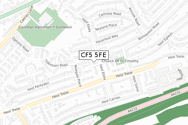
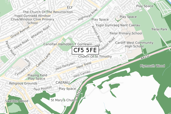
CF5 5FE is located in the Caerau electoral ward, within the unitary authority of Cardiff and the Welsh Parliamentary constituency of Cardiff West. The Local Health Board is Cardiff and Vale University and the police force is South Wales. This postcode has been in use since November 2019.


GetTheData
Source: OS Open Zoomstack (Ordnance Survey)
Licence: Open Government Licence (requires attribution)
Attribution: Contains OS data © Crown copyright and database right 2025
Source: Open Postcode Geo
Licence: Open Government Licence (requires attribution)
Attribution: Contains OS data © Crown copyright and database right 2025; Contains Royal Mail data © Royal Mail copyright and database right 2025; Source: Office for National Statistics licensed under the Open Government Licence v.3.0
| Easting | 313821 |
| Northing | 175689 |
| Latitude | 51.473576 |
| Longitude | -3.242213 |
GetTheData
Source: Open Postcode Geo
Licence: Open Government Licence
| Country | Wales |
| Postcode District | CF5 |
➜ See where CF5 is on a map ➜ Where is Cardiff? | |
GetTheData
Source: Land Registry Price Paid Data
Licence: Open Government Licence
| Ward | Caerau |
| Constituency | Cardiff West |
GetTheData
Source: ONS Postcode Database
Licence: Open Government Licence
| Canaston Place (Heol Trelai) | Cardiff | 132m |
| Newgale Place (Heol Trelai) | Cardiff | 154m |
| Heol Pennar (Heol Trelai) | Cardiff | 160m |
| Newgale Place (Heol Trelai) | Cardiff | 173m |
| Heol Pennar | Cardiff | 176m |
| Waun-gron Park Station | 1.8km |
| Fairwater Station | 2.3km |
| Ninian Park Station | 2.8km |
GetTheData
Source: NaPTAN
Licence: Open Government Licence
GetTheData
Source: ONS Postcode Database
Licence: Open Government Licence


➜ Get more ratings from the Food Standards Agency
GetTheData
Source: Food Standards Agency
Licence: FSA terms & conditions
| Last Collection | |||
|---|---|---|---|
| Location | Mon-Fri | Sat | Distance |
| Caerau Post Office | 17:30 | 12:00 | 252m |
| Western Delivery Office | 18:30 | 12:00 | 1,713m |
| The Tumble | 18:30 | 11:00 | 1,756m |
GetTheData
Source: Dracos
Licence: Creative Commons Attribution-ShareAlike
The below table lists the International Territorial Level (ITL) codes (formerly Nomenclature of Territorial Units for Statistics (NUTS) codes) and Local Administrative Units (LAU) codes for CF5 5FE:
| ITL 1 Code | Name |
|---|---|
| TLL | Wales |
| ITL 2 Code | Name |
| TLL2 | East Wales |
| ITL 3 Code | Name |
| TLL22 | Cardiff and Vale of Glamorgan |
| LAU 1 Code | Name |
| W06000015 | Cardiff |
GetTheData
Source: ONS Postcode Directory
Licence: Open Government Licence
The below table lists the Census Output Area (OA), Lower Layer Super Output Area (LSOA), and Middle Layer Super Output Area (MSOA) for CF5 5FE:
| Code | Name | |
|---|---|---|
| OA | W00008837 | |
| LSOA | W01001707 | Cardiff 041C |
| MSOA | W02000407 | Cardiff 041 |
GetTheData
Source: ONS Postcode Directory
Licence: Open Government Licence
| CF5 5ED | Heol Ebwy | 46m |
| CF5 5EA | Bishopston Road | 67m |
| CF5 5PG | Heol Trelai | 76m |
| CF5 5DX | Bishopston Road | 96m |
| CF5 5EN | Haverford Way | 105m |
| CF5 5EG | Tidenham Road | 144m |
| CF5 5EJ | Chepstow Close | 161m |
| CF5 5LN | Canaston Place | 171m |
| CF5 5DZ | Bishopston Road | 189m |
| CF5 5NX | Heol Pennar | 190m |
GetTheData
Source: Open Postcode Geo; Land Registry Price Paid Data
Licence: Open Government Licence