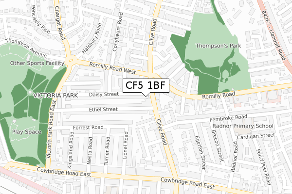
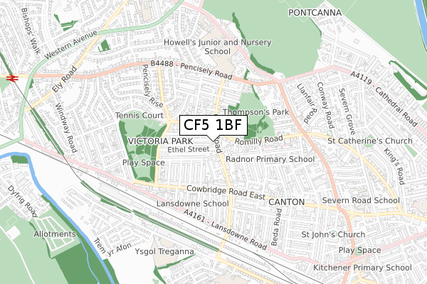
CF5 1BF is located in the Canton electoral ward, within the unitary authority of Cardiff and the Welsh Parliamentary constituency of Cardiff West. The Local Health Board is Cardiff and Vale University and the police force is South Wales. This postcode has been in use since April 2020.


GetTheData
Source: OS Open Zoomstack (Ordnance Survey)
Licence: Open Government Licence (requires attribution)
Attribution: Contains OS data © Crown copyright and database right 2025
Source: Open Postcode Geo
Licence: Open Government Licence (requires attribution)
Attribution: Contains OS data © Crown copyright and database right 2025; Contains Royal Mail data © Royal Mail copyright and database right 2025; Source: Office for National Statistics licensed under the Open Government Licence v.3.0
| Easting | 315902 |
| Northing | 176943 |
| Latitude | 51.485163 |
| Longitude | -3.212556 |
GetTheData
Source: Open Postcode Geo
Licence: Open Government Licence
| Country | Wales |
| Postcode District | CF5 |
➜ See where CF5 is on a map ➜ Where is Cardiff? | |
GetTheData
Source: Land Registry Price Paid Data
Licence: Open Government Licence
| Ward | Canton |
| Constituency | Cardiff West |
GetTheData
Source: ONS Postcode Database
Licence: Open Government Licence
| Clive Road (Romilly Road West) | Cardiff | 82m |
| Fern Street (Romilly Rd West) | Victoria Park | 99m |
| Romilly Place (Romilly Road) | Cardiff | 229m |
| Thompsons Park (Romilly Road) | Cardiff | 254m |
| Clive Road (Cowbridge Road East) | Canton | 285m |
| Ninian Park Station | 1.2km |
| Waun-gron Park Station | 1.2km |
| Fairwater Station | 1.8km |
GetTheData
Source: NaPTAN
Licence: Open Government Licence
GetTheData
Source: ONS Postcode Database
Licence: Open Government Licence


➜ Get more ratings from the Food Standards Agency
GetTheData
Source: Food Standards Agency
Licence: FSA terms & conditions
| Last Collection | |||
|---|---|---|---|
| Location | Mon-Fri | Sat | Distance |
| Victoria Park Road East | 17:30 | 11:30 | 260m |
| Radnor Road | 17:30 | 13:00 | 297m |
| Rectory Road | 17:30 | 13:00 | 508m |
GetTheData
Source: Dracos
Licence: Creative Commons Attribution-ShareAlike
The below table lists the International Territorial Level (ITL) codes (formerly Nomenclature of Territorial Units for Statistics (NUTS) codes) and Local Administrative Units (LAU) codes for CF5 1BF:
| ITL 1 Code | Name |
|---|---|
| TLL | Wales |
| ITL 2 Code | Name |
| TLL2 | East Wales |
| ITL 3 Code | Name |
| TLL22 | Cardiff and Vale of Glamorgan |
| LAU 1 Code | Name |
| W06000015 | Cardiff |
GetTheData
Source: ONS Postcode Directory
Licence: Open Government Licence
The below table lists the Census Output Area (OA), Lower Layer Super Output Area (LSOA), and Middle Layer Super Output Area (MSOA) for CF5 1BF:
| Code | Name | |
|---|---|---|
| OA | W00008896 | |
| LSOA | W01001715 | Cardiff 035B |
| MSOA | W02000401 | Cardiff 035 |
GetTheData
Source: ONS Postcode Directory
Licence: Open Government Licence
| CF5 1HH | Clive Road | 33m |
| CF5 1EJ | Ethel Street | 74m |
| CF5 1ES | Fern Street | 84m |
| CF5 1HW | Clive Road | 85m |
| CF5 1GQ | Clive Road | 90m |
| CF5 1FN | Romilly Road | 91m |
| CF5 1EP | Daisy Street | 92m |
| CF5 1HG | Clive Road | 102m |
| CF5 1FT | Romilly Road West | 103m |
| CF5 1FR | Purbeck Street | 114m |
GetTheData
Source: Open Postcode Geo; Land Registry Price Paid Data
Licence: Open Government Licence