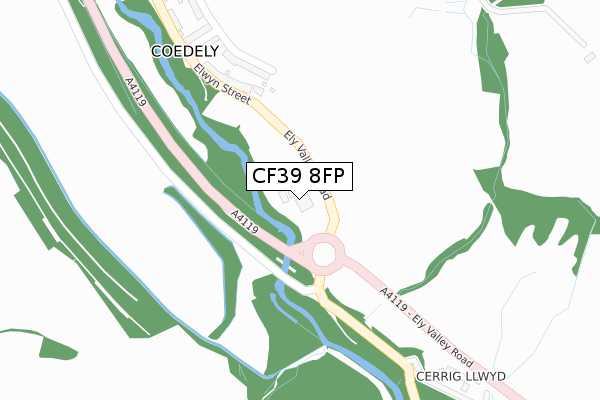
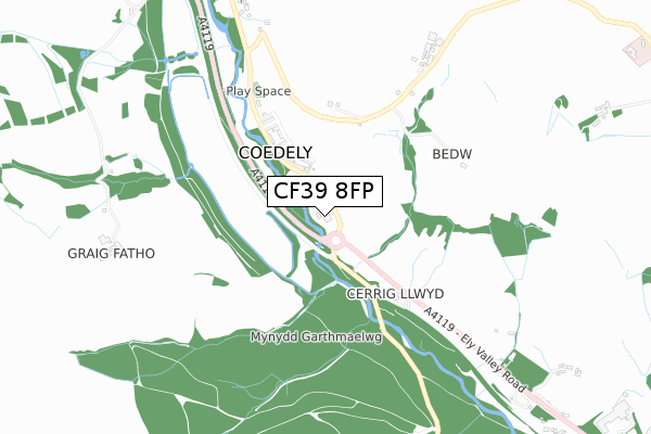
CF39 8FP is located in the Tonyrefail East electoral ward, within the unitary authority of Rhondda Cynon Taf and the Welsh Parliamentary constituency of Pontypridd. The Local Health Board is Cwm Taf Morgannwg University and the police force is South Wales. This postcode has been in use since November 2019.


GetTheData
Source: OS Open Zoomstack (Ordnance Survey)
Licence: Open Government Licence (requires attribution)
Attribution: Contains OS data © Crown copyright and database right 2024
Source: Open Postcode Geo
Licence: Open Government Licence (requires attribution)
Attribution: Contains OS data © Crown copyright and database right 2024; Contains Royal Mail data © Royal Mail copyright and database right 2024; Source: Office for National Statistics licensed under the Open Government Licence v.3.0
| Easting | 302081 |
| Northing | 185514 |
| Latitude | 51.559980 |
| Longitude | -3.413930 |
GetTheData
Source: Open Postcode Geo
Licence: Open Government Licence
| Country | Wales |
| Postcode District | CF39 |
➜ See where CF39 is on a map ➜ Where is Coedely? | |
GetTheData
Source: Land Registry Price Paid Data
Licence: Open Government Licence
| Ward | Tonyrefail East |
| Constituency | Pontypridd |
GetTheData
Source: ONS Postcode Database
Licence: Open Government Licence
| Post Office (Ely Valley Road) | Coedely | 330m |
| Post Office (Ely Valley Road) | Coedely | 379m |
| Graig Afon (Ely Valley Road) | Coedely | 730m |
| Dyffryn Isaf (Ely Valley Road) | Ynysmaerdy | 773m |
| Graig Afron (Ely Valley Road) | Coedely | 787m |
| Llanharan Station | 3.1km |
| Pontyclun Station | 4.3km |
GetTheData
Source: NaPTAN
Licence: Open Government Licence
GetTheData
Source: ONS Postcode Database
Licence: Open Government Licence


➜ Get more ratings from the Food Standards Agency
GetTheData
Source: Food Standards Agency
Licence: FSA terms & conditions
| Last Collection | |||
|---|---|---|---|
| Location | Mon-Fri | Sat | Distance |
| Tynybryn Road | 16:45 | 11:00 | 2,853m |
| Gelli | 17:15 | 11:30 | 3,891m |
| Danygraig Drive | 17:15 | 11:15 | 4,016m |
GetTheData
Source: Dracos
Licence: Creative Commons Attribution-ShareAlike
The below table lists the International Territorial Level (ITL) codes (formerly Nomenclature of Territorial Units for Statistics (NUTS) codes) and Local Administrative Units (LAU) codes for CF39 8FP:
| ITL 1 Code | Name |
|---|---|
| TLL | Wales |
| ITL 2 Code | Name |
| TLL1 | West Wales and The Valleys |
| ITL 3 Code | Name |
| TLL15 | Central Valleys |
| LAU 1 Code | Name |
| W06000016 | Rhondda Cynon Taf |
GetTheData
Source: ONS Postcode Directory
Licence: Open Government Licence
The below table lists the Census Output Area (OA), Lower Layer Super Output Area (LSOA), and Middle Layer Super Output Area (MSOA) for CF39 8FP:
| Code | Name | |
|---|---|---|
| OA | W00006564 | |
| LSOA | W01001250 | Rhondda Cynon Taf 024B |
| MSOA | W02000275 | Rhondda Cynon Taf 024 |
GetTheData
Source: ONS Postcode Directory
Licence: Open Government Licence
| CF39 8BL | Elwyn Street | 260m |
| CF39 8BH | Collwyn Street | 271m |
| CF39 8BN | Gladys Street | 323m |
| CF39 8BG | Garth Street | 427m |
| CF39 8BE | Ely Valley Road | 458m |
| CF39 8HJ | 552m | |
| CF39 8PX | Ely Valley Road | 828m |
| CF39 8BB | Tylcha Fach Terrace | 1060m |
| CF39 8EX | Tynycoed Villas | 1082m |
| CF39 8BU | Tylcha Fach Close | 1086m |
GetTheData
Source: Open Postcode Geo; Land Registry Price Paid Data
Licence: Open Government Licence